Watch the planet’s tectonic plates RIP and CRUNCH before your very eyes!
$250.00

![Continental Drift [Flip Book]](https://curtiswrightmaps.com/wp-content/uploads/DSC_2036-1-1080x675.jpg)
Watch the planet’s tectonic plates RIP and CRUNCH before your very eyes!
$250.00
![Countenance et Plane de Toules nos Terres en 1868 [French Manuscript Plat Maps]](https://curtiswrightmaps.com/wp-content/uploads/DSC_1921-1-1080x675.jpg)
Manuscript French atlas documenting the a series of properties, probably belonging to an aristocratic family.
$350.00
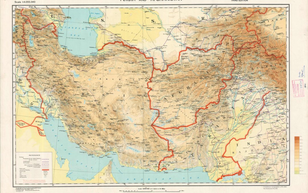
British mapping of the crossroads of Asia during the mid-20th century.
$1250.00
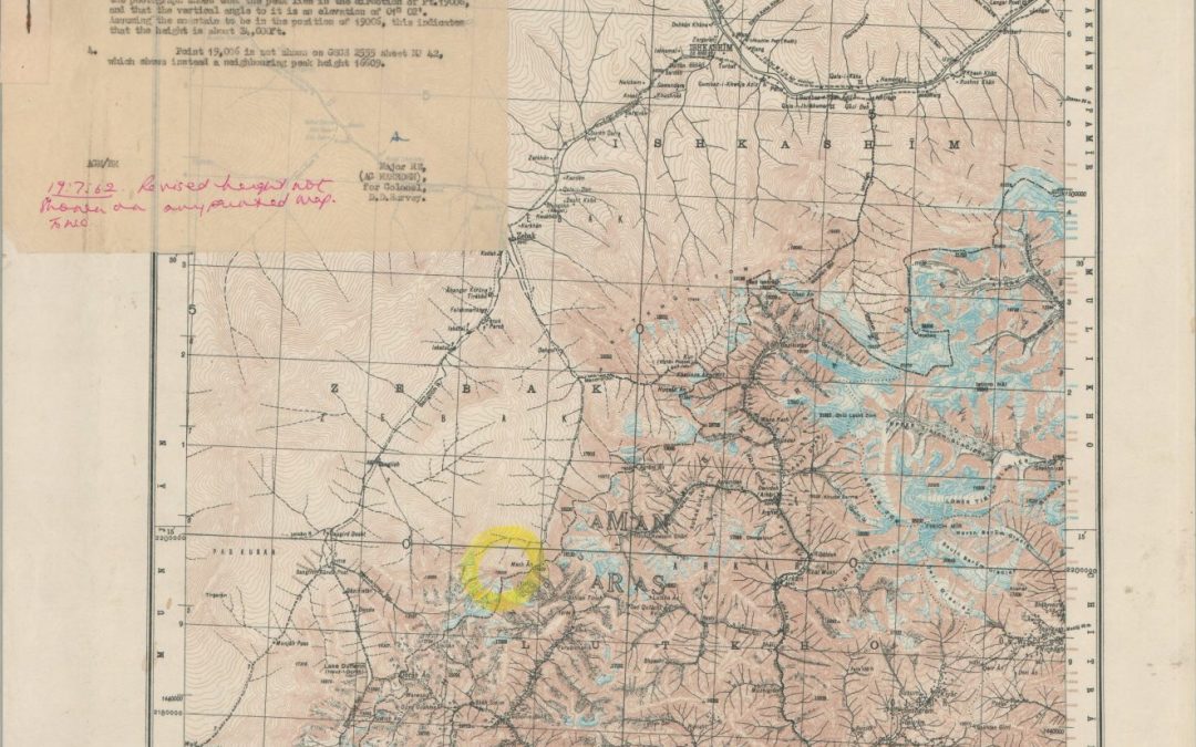
Updating British maps of the ‘Roof of the World’ during the Cold War.
$975
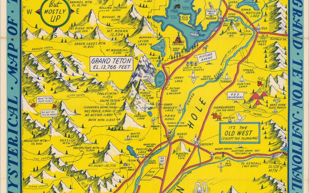
A ‘slightly cockeyed’ postwar pictorial map of Grand Teton National Park and the surrounding area.
$500.00
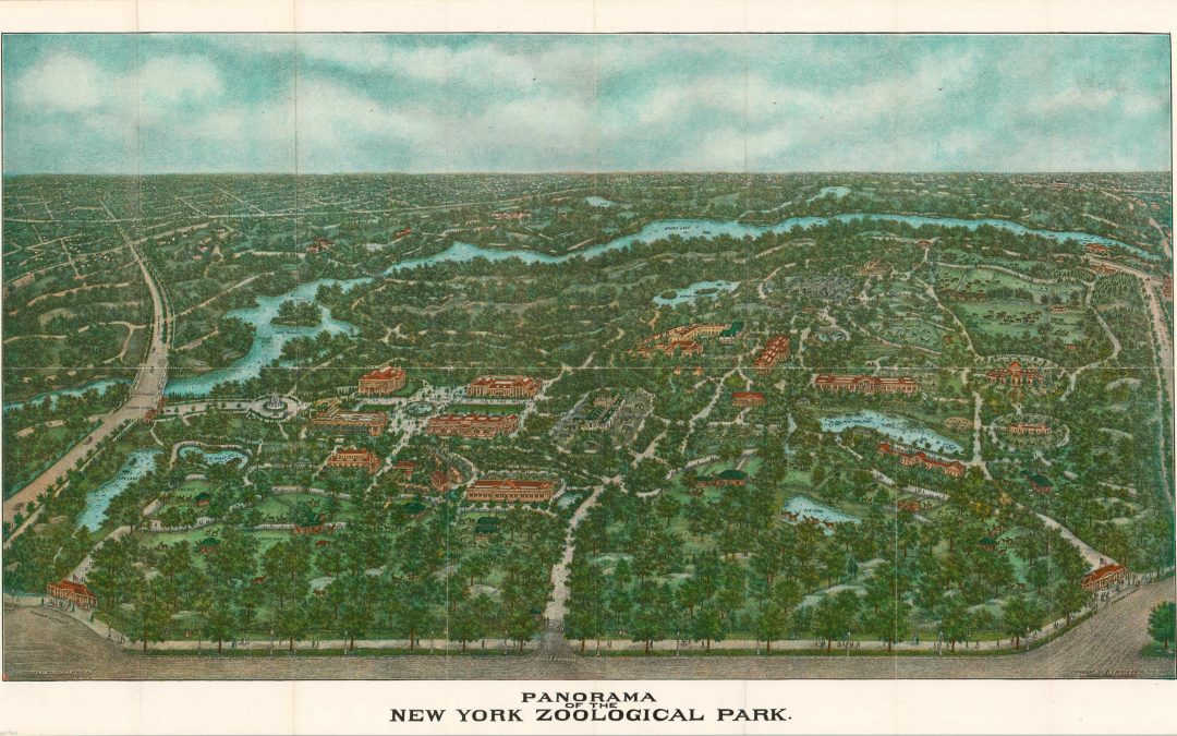
“This reproduction from an original drawing gives a vivid impression of the World’s Greatest Zoological Park.” – Front cover.
$275.00
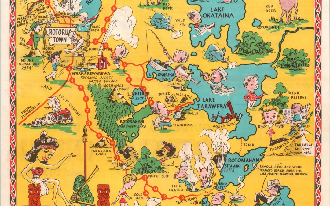
Welcome to New Zealand’s Thermal Wonderland of Rotorua!
$275.00
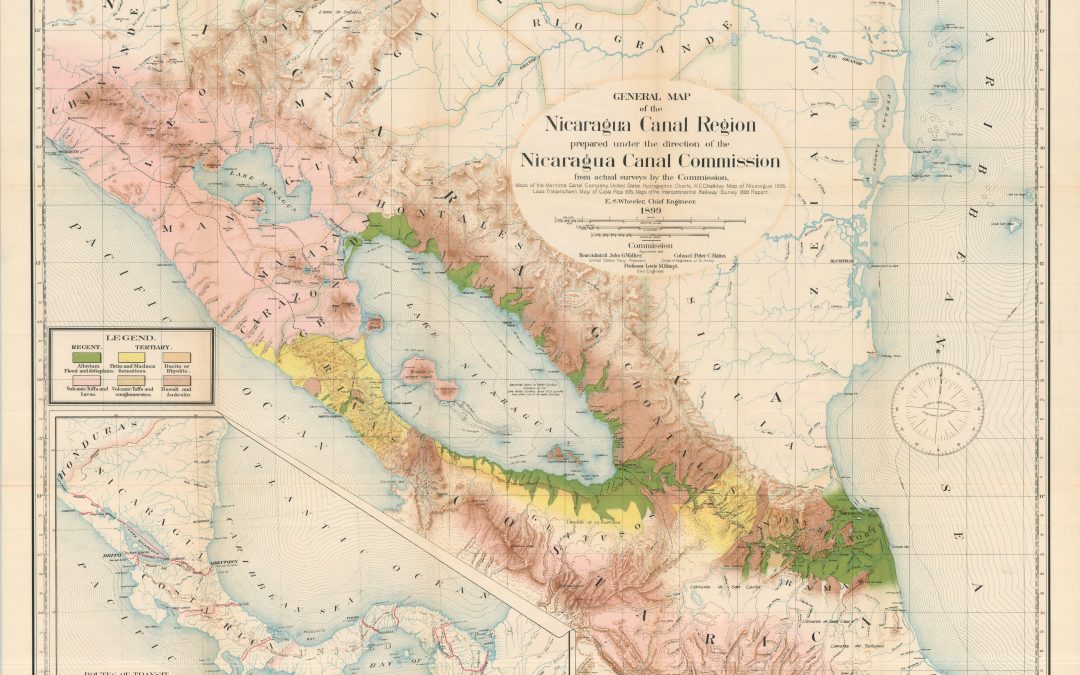
The Maps and Profiles from the Report of the Nicaragua Canal Commission.
$475.00
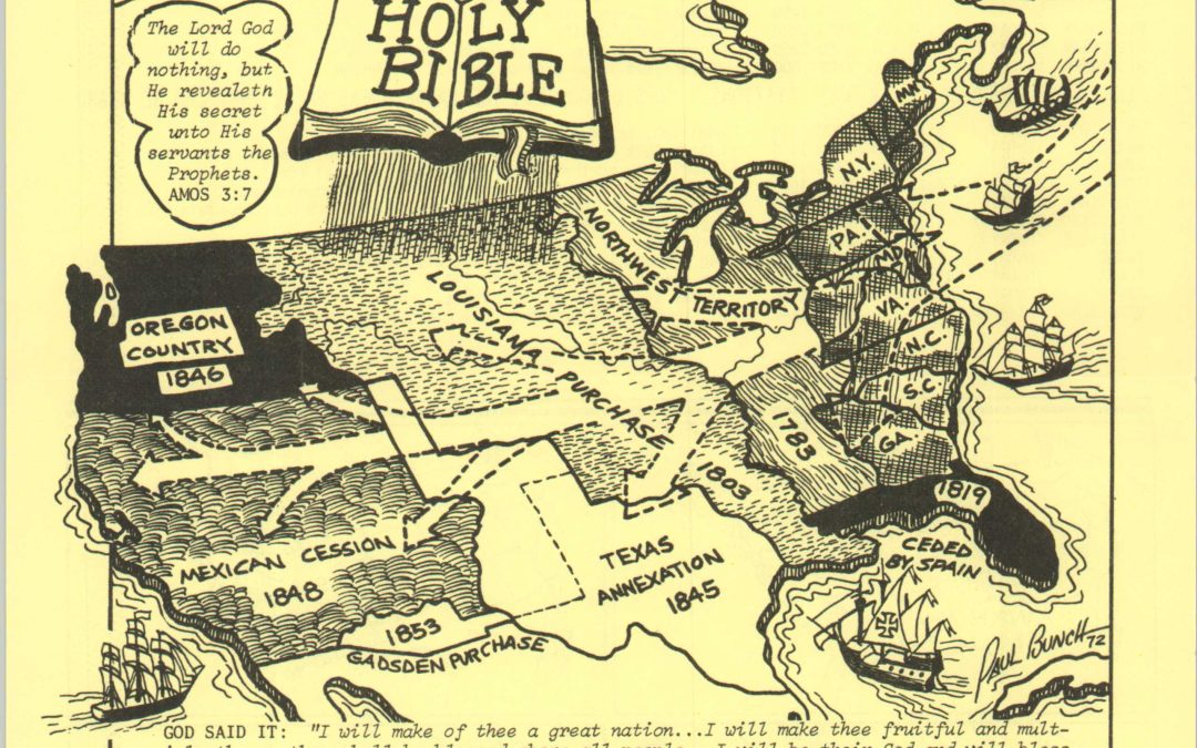
“Pray for more 50,000 Watt Clear Channel Stations.”
$150.00

The global footprint of Methodist Evangelism around World War II.
$400.00

The Washington Monument triumphs over the architecture of the Old World.
$50.00

4,000 Years’ History Visualized in One Hour!
$285.00
![Das Neue Jerusalem [The New Jerusalem]](https://curtiswrightmaps.com/wp-content/uploads/map_13.27x16.61_07-09-25_inv007187c-1080x675.jpg)
A powerful image regarding the paths to Heaven or Hell.
$950.00

Protestant mission stations across Eastern Asia in the early 1920s.
$375.00
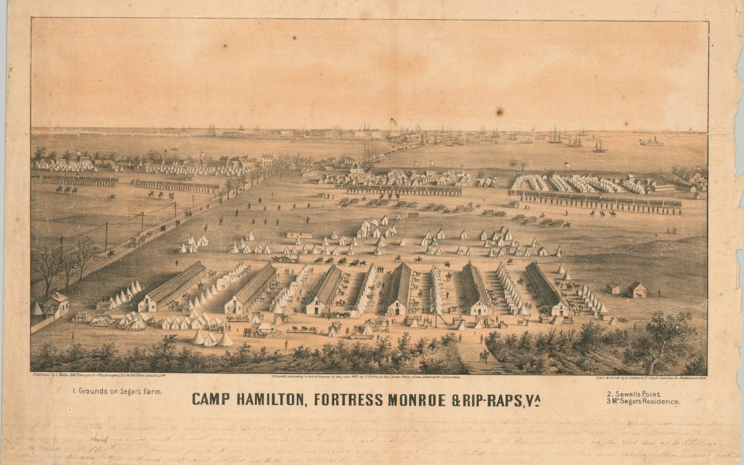
An interesting view of Fort Monroe during the American Civil War.
$500.00
![Map of the Settled Part of Wisconsin Territory [with] Observations on the Wisconsin Territory](https://curtiswrightmaps.com/wp-content/uploads/DSC_1697-1-1080x675.jpg)
An influential guidebook and foundational map of Wisconsin.
$4250.00

American expands west during the mid-1820s.
$350.00

The final year of Company Rule in India.
$450.00
![Spojene Staty Severoamericke Vereinigte Staaten Von Amerika [United States of America]](https://curtiswrightmaps.com/wp-content/uploads/map_20.21x27.42_06-05-25_inv007140c-1080x675.jpg)
A colorful Czech-language map of the U.S. issued by Norddeutscher Lloyd on the brink of World War I.
$425.00

Fine military overview of the primary theaters issued in the midst of the American Civil War.
$165.00

An ephemeral map of Chicago’s first ‘L’ from the Columbian Exposition.
$150.00

A cartographic manifestation of New York’s excitement about the Transcontinental Railroad.
$95.00

An idealized view of early Chicago, published almost a century later.
$500.00

A detailed map of colonial America and the West Indies.
$395
![The Glorious Day We Celebrate [America’s Centennial]](https://curtiswrightmaps.com/wp-content/uploads/map_21.39x22.24_06-04-25_inv007085c-1080x675.jpg)
Commemorating 100 years of the United States of America.
$90.00

One of several 20th century attempts to consolidate Chicago’s transit system.
$600.00
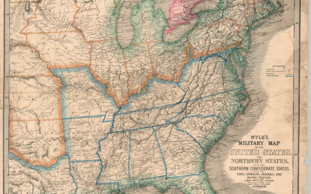
A British view of the U.S. at the outbreak of the American Civil War.
$1300.00

Confirming the terms of the 1842 Treaty of La Pointe.
$750.00

The Thirteen Colonies on the brink of the American Revolution.
$900.00

Early planning for a railroad between Lake Superior and the St. Croix River.
$950.00

Visualizing the British response to the Siege of Khartoum.
$1100.00
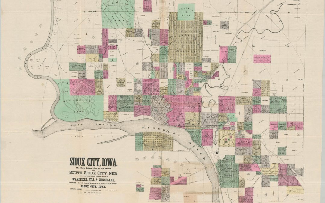
The Corn Palace City of the World!
$985.00
![East Indies [and] West Indies Showing Spanish Possessions](https://curtiswrightmaps.com/wp-content/uploads/map_19.25x24.56_06-04-25_inv007037c-1080x675.jpg)
Potential spoils during the ongoing Spanish-American War.
$275.00

Five possible moon landing sites harkening back to the Golden Age of Cartography.
$350.00

Gorgeous 19th century rendition of Richardson’s ground squirrels defending its territory.
$450.00

Early 20th century land claims in Michigan’s Copper Country.
$750.00

Commemorating the success of the Apollo 11 mission.
$200.00

…And we’re just living in it!
$250.00

Protected vital American waterways during World War II.
$295.00
![[Collection of Plans Related to the Indianapolis Union Railway Company]](https://curtiswrightmaps.com/wp-content/uploads/map_24.54x20.01_05-08-25_inv006896c-1080x675.jpg)
Rare archive covering about six decades of the Indianapolis Union Railway.
$1200.00

Audubon’s gorgeous mid-19th century depiction of a pair of musk oxen on rolling plains (rare Imperial Folio edition!)
$900.00

Pore Lil’ Mose and his Friends Have Fun in Cottonville and New York.
$900.00

An early plan of the newly incorporated company town of Beech Grove, Indiana.
$1100.00
![Atlas der Geologie [Berghaus’ Physikalischer Atlas]](https://curtiswrightmaps.com/wp-content/uploads/DSC_1650-1-1080x675.jpg)
The first part of the influential Physikalischer Atlas.
$150.00

Advertising the industrial potential of Chicagoland in the mid-20th century.
$250.00

Safety assessments of Kuwait shortly after the conclusion of the Gulf War.
$1200.00
![Plan and Profile of Proposed State highway “AD” Project No. 3 [Jefferson Proving Grounds, Indiana]](https://curtiswrightmaps.com/wp-content/uploads/map_24.04x33.80_04-15-25_inv006831c-1080x675.jpg)
Mid-century plans for road improvements near the Jefferson Proving Grounds.
$450.00
![[Collection of 25 Cartographic Handbills and Protest Flyers]](https://curtiswrightmaps.com/wp-content/uploads/Poster-Complete-1080x675.jpg)
Using maps as a tool for political and social activism.
$1500.00

Civil disobedience at the Pentagon in 1998.
$225.00

Plans for crossing the Gauley River in the early 1890s.
$475.00