Empire
Maps which show the territorial extent of historic empires.
Showing 1–18 of 1232 resultsSorted by latest
-
 Sold Out
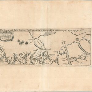
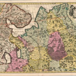
Tabula Septentrionalis Russiae, Samoithiae, et Tingosiae…
Quick View -
Siege of Sebastopol
$75.00 Quick View -
Sold Out
Panoramic View of the Seat of War in Europe [Russo-Turkish War]
Quick View -
Carte du Kamchatka
$60.00 Quick View -
Seat of War — Russia and Turkey
$600.00 Quick View -
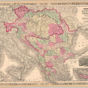
Johnson’s Austria, Turkey in Europe, and Greece
$110.00 Quick View -
Sold Out
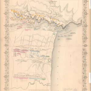
Plan of the Battle of the Alma
Quick View -
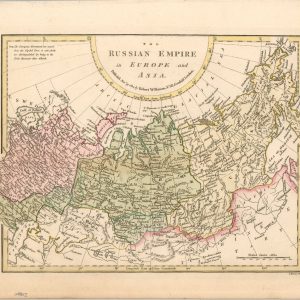
The Russian Empire in Europe and Asia
$95.00 Quick View -
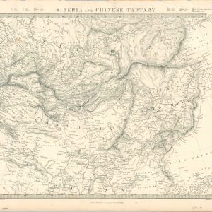
Siberia and Chinese Tartary
$50.00 Quick View -
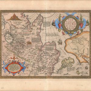
Tartariae Sive Magni Chami Regni Typus
$1,500.00 Quick View -
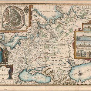
A Map of Russia
$2,200.00 Quick View -
[Map of the Hemispheres]
$295.00 Quick View -
[Maps of the Crimea]
$1,800.00 Quick View -
Urbis Moskvae [Early Plan of Moscow]
$3,900.00 Quick View -
Moscauw
$1,600.00 Quick View -
Les Estats du Czar de la Russie Blache ou Grand Duc De Moscovie
$975.00 Quick View -
Nouvelle Carte Géographique du Grand Royaume de Moscovie Representant La Partie Septentrionale &c.
$850.00 Quick View -
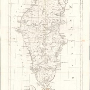
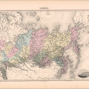
Siberie
$60.00 Quick View

![Panoramic View of the Seat of War in Europe [Russo-Turkish War]](https://curtiswrightmaps.com/wp-content/uploads/map_16.12x22.13_06-03-26_inv006810-300x300.jpg)

![[Map of the Hemispheres]](https://curtiswrightmaps.com/wp-content/uploads/map_43.15x69.11_06-02-26_inv008797c-300x300.jpg)
![[Maps of the Crimea]](https://curtiswrightmaps.com/wp-content/uploads/map_30.77x34.09_06-02-26_inv008796c-300x300.jpg)
![Urbis Moskvae [Early Plan of Moscow]](https://curtiswrightmaps.com/wp-content/uploads/map_22.39x25.56_06-02-26_inv008795c-300x300.jpg)


show blocks helper