Shop Maps
Showing 1–45 of 9560 resultsSorted by latest
-

An Accurate Map of North and South Carolina With Their Indian Frontiers, Shewing in a distinct manner all the Mountains, Rivers, Swamps, Marshes, Bays, Creek, Harbours, Sandbanks and Soundings on the Coast; With the Roads & Indian Paths; as well as The Boundary or Provincial Lines
$15,000.00 Quick View -
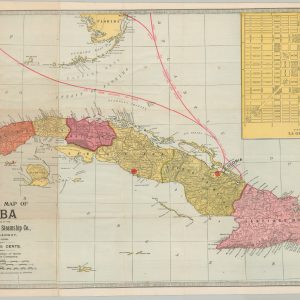
Official Map of Cuba
$325.00 Quick View -
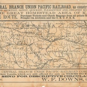
Map of the Central Branch Union Pacific Railroad, as constructed and projected.
$245.00 Quick View -
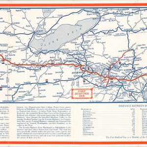
Official Highway Map Fort Bedford Inn
$145.00 Quick View -
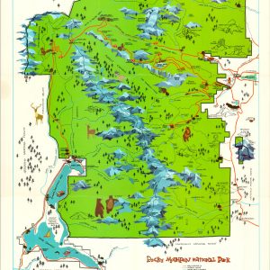
Rocky Mountain National Park
$50.00 Quick View -
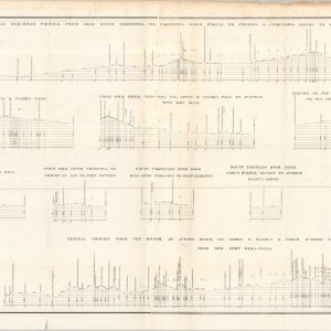
Routes Near the 47th and 49th Parallels Profiles From Explorations and Surveys Made Under the Direction of the Hon. Jefferson Davis, Secretary of War
$95.00 Quick View -
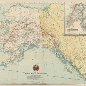
Map of White Pass & Yukon Route and Connections
$175.00 Quick View -
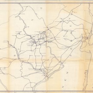
Location of Cement Plants and Routes used to Philadelphia
$95.00 Quick View -
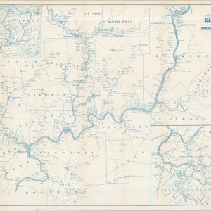
The Oil Regions of Pennsylvania and Western Virginia
Quick View -
Travel Underground into the Heart of the Shopping Centres
Quick View -
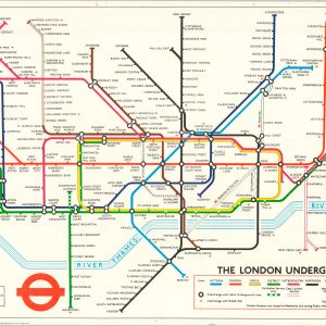
The London Underground
$95.00 Quick View -
K. & M. Ry. Charleston W. Va. Sketch of Proposed Passenger Agent’s Office
$60.00 Quick View -
Map of Hutchinson, Kansas
$80.00 Quick View -
Summer Resorts of the Coast, Lake, and Mountain Regions along the Boston & Maine Railroad and Connections
$165.00 Quick View -
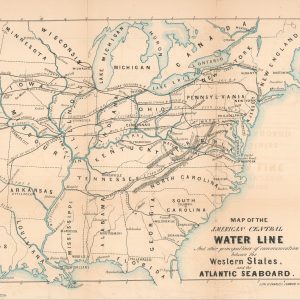
Map of the American Central Water Line and Other Principal Lines of Communication between the Western States and the Atlantic Seaboard
$200.00 Quick View -
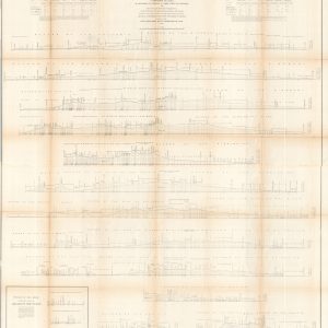
Profiles of the Main Routes Surveyed Compiled in 1855
$145.00 Quick View -
[Railroad Map of the Southeastern United States]
$250.00 Quick View -
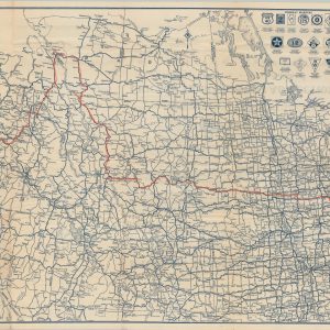
Rand McNally Official Auto Road Map Northwestern United States
$110.00 Quick View -
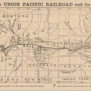
The Union Pacific Railroad from Omaha, Nebraska Across the Continent
$750.00 Quick View -
The Indian and the Northwest
$100.00 Quick View -
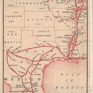
Showing Routes to Mexico, via Illinois Central to New Orleans
$80.00 Quick View -
Vacation Map of the Chain-O-Lakes
$60.00 Quick View -
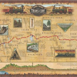
Lionel Trains Presents Trans-Con!
$50.00 Quick View -
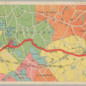
Map of the Brockton & Plymouth Street Railways [with] By Trolley and Inland Alongshore to Plymouth.
$175.00 Quick View -
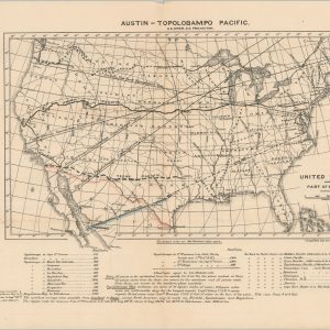
Austin-Topolobampo Pacific
$350.00 Quick View -
Map of the United States of America Showing the Rail Roads
$150.00 Quick View -
Report upon the Preliminary Survey of the First Two Divisions of the Sheffield & Savannah Railroad with a Map Showing its Connections
Quick View -
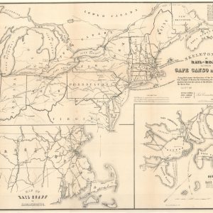
Skeleton Map of Rail-Roads between Cape Canso and St. Louis
$500.00 Quick View -
The Baltimore and Ohio System General Instructions No. 79 Specifications for Drawing
$50.00 Quick View -
[Land Grant Map of the Northern Pacific]
$185.00 Quick View -
Florida Tourist and Southern Investor’s Guide
$400.00 Quick View -
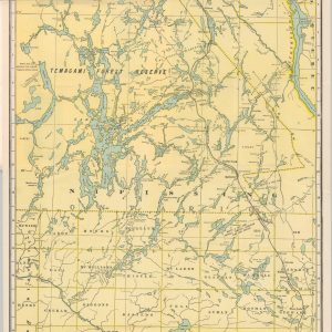
Grand Trunk Railway System Map of Lake Nipissing District and Temagami Region Ontario
$175.00 Quick View -
Boston and Maine Railroad Among the Mountains [with] Bird’s-Eye Map of the White Mountains reached by Boston & Maine R.R.
$150.00 Quick View -
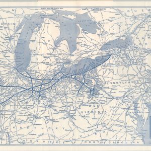
Nickel Plate Road
$70.00 Quick View -
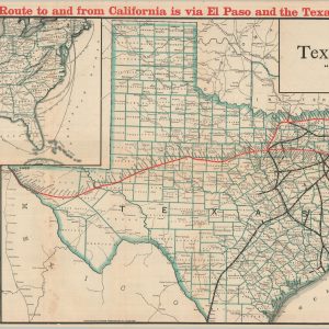
Map of the Texas & Pacific Railway “Gould System” Lines and Connections
Quick View -
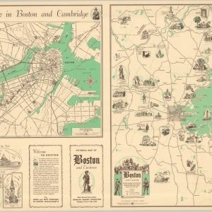
Pictorial Map of Boston and Environs
$165.00 Quick View -
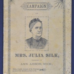
Campaign of Mrs. Julia Silk
$600.00 Quick View -
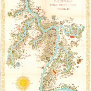
The German Wine-Producing Districts
$135.00 Quick View -
Texan’s Map of the United States of America
$175.00 Quick View -
Map of Bessemer City N.C.
$900.00 Quick View -
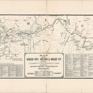
Map of the Kansas City, Mexico & Orient Ry. Showing the Located and Preliminary Lines through the Republic of Mexico
$450.00 Quick View -
Map of the Pennsylvania System of Railroads and their Connections
$225.00 Quick View -
Map of the Chicago-Milwaukee & St. Paul Railway and Connections
$300.00 Quick View -
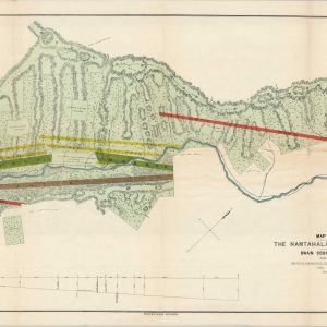
Map of Property Belonging to the Nantahala Marble & Talc Co. Situated in Swain County, North Carolina
$450.00 Quick View -
Plat of the City of Tallapoosa, Haralson Co., Georgia Wing City Lots and Property Owned by Georgia – Alabama Investment and Development Company
$750.00 Quick View