Pocket Maps
Maps that were originally published and sold folded into a size that could generally fit into one’s pocket.
Showing 1–18 of 541 resultsSorted by latest
-

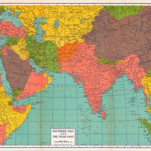
Southern Asia and The Near East
$95.00 Quick View -
Rand McNally Standard Map of China and Japan
$95.00 Quick View -
Rand McNally Standard Map of Alaska
$95.00 Quick View -
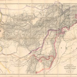
Map of the Indian and Afghan Frontiers
$800.00 Quick View -
Sold Out
Stanford’s Large Scale Map of Afghanistan Showing the New British Frontiers According to the Treaty of Gandamak
Quick View -
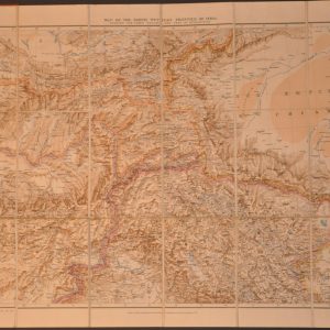
Map of the North Western Frontier of Indian Showing the Pamir Region and Part of Afghanistan
$625.00 Quick View -
1936 Highway Map of the State of Wyoming
$60.00 Quick View -
Clason’s Midget Map of Indiana
$80.00 Quick View -
Automobile Road Map of California
$250.00 Quick View -
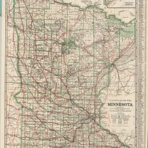
Clason’s Guide Map of Minnesota
$125.00 Quick View -
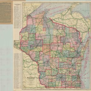
Map of Wisconsin
$95.00 Quick View -
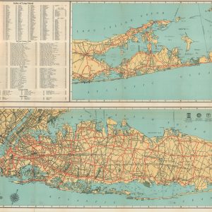
Rand McNally General Map of Long Island
$295.00 Quick View -
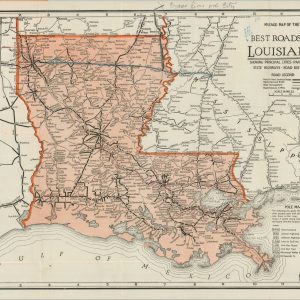
Best Roads of Louisiana
$145.00 Quick View -
Automobile Road Map of Michigan Showing Condition of State Trunk Line System in the Lower Peninsula and the Improved Connecting County Roads
$315.00 Quick View -
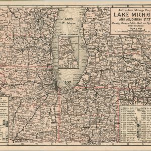
Automobile Mileage Map of Lake Michigan and Adjoining States
$300.00 Quick View -
Rand McNally Official 1925 Auto Trails Map Wyoming
$110.00 Quick View -
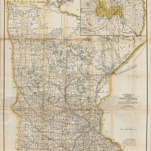
Mendenhall’s Guide and Road Map of Minnesota
$300.00 Quick View -
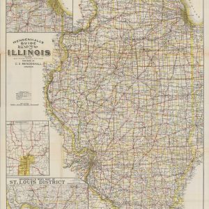
Mendenhall’s Guide and Road Map of Illinois
$300.00 Quick View


show blocks helper