Map of Wisconsin
$95.00
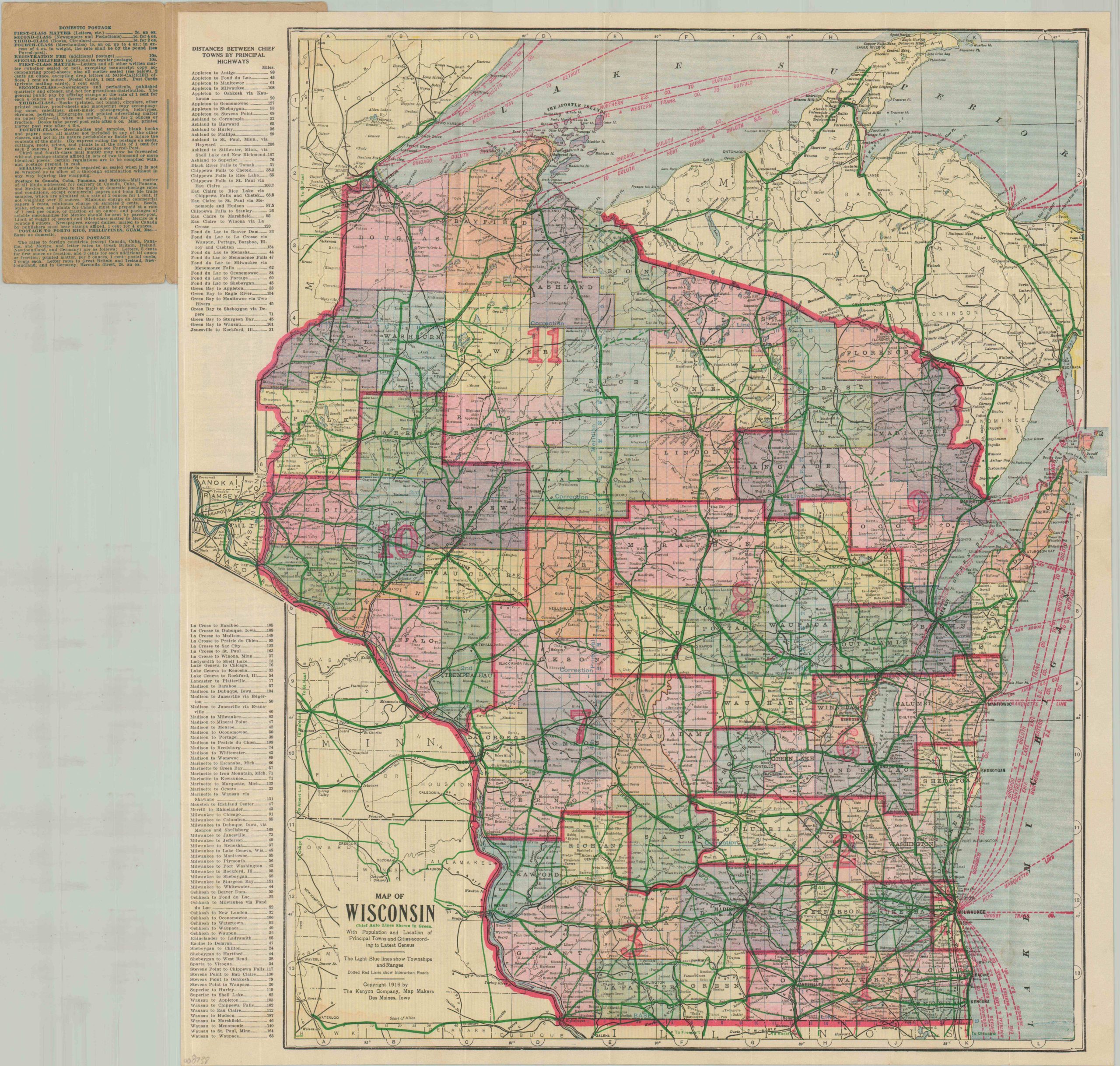
A colorful WWI-era map of Wisconsin’s roads and rails.
1 in stock
Description
This vibrant transportation overview of Wisconsin was published in 1916 by the Kenyon Map Company of Des Moines, Iowa. Within the borders of the Badger State, the network of steam railroads, electric interurbans, and automobile highways are shown with black, red, and green lines, respectively. Steamship routes are also noted in the adjacent Lake Superior and Lake Michigan. Congressional districts are boldly numbered, townships are outlined, and an interesting variety of settlements are named throughout the image, which is carefully extended to include the nearby Twin Cities. A list of distances between points is provided, along with a comprehensive index of place names (on the verso).
Map Details
Publication Date: 1916
Author: The Kenyon Company
Sheet Width (in): 20.50
Sheet Height (in): 23.10
Condition: B+
Condition Description: Color printed pocket map affixed to original brown paper wraps, moderately worn. Creasing and small splits along folds and some minor dampstaining along the lower edge. Good condition overall.
$95.00
1 in stock