United Kingdom
Maps of the United Kingdom including Great Britain, Scotland and Ireland.
Showing 1–18 of 273 resultsSorted by latest
-

The Motorist’s Vade-Mecum for 1907
$110.00 Quick View -
The Continuation of the Road from London to the Lands End Plate 2d
$150.00 Quick View -
Britannia: Or a Chorographical Description of Great Britain and Ireland [Title Page]
$95.00 Quick View -
Crystal Palace Guide to the Palace and Park
$145.00 Quick View -
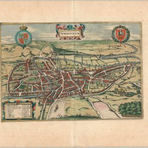
Nordovicum
$295.00 Quick View -
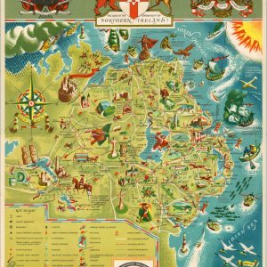
Northern Ireland Map Folder
$150.00 Quick View -
The Heritage of the Anglo-Saxon Race
Quick View -
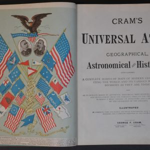
Cram’s Universal Atlas
Quick View -
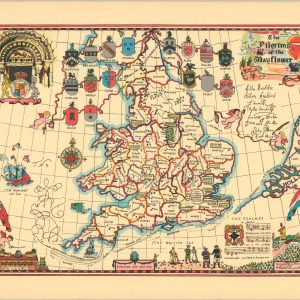
The Pilgrims of the Mayflower
Quick View -
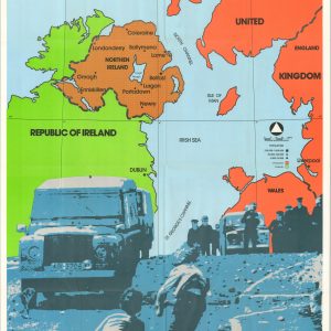
Northern Ireland The Battleground for Christians
$195.00 Quick View -
Atlante Geografico Metodico
$200.00 Quick View -
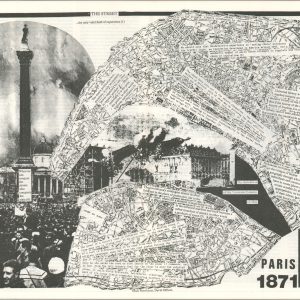
The Street
$200.00 Quick View -
England’s Shakespeare Needle Book [Stratford-on-Avon]
$25.00 Quick View -
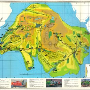
Thomas the Tank Engine Railway Map Island of Sodor
Quick View -
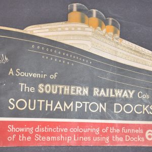
A Souvenir of the Southern Railway Co’s Southampton Docks
$95.00 Quick View -
[WWI Handkerchief Map of Europe]
$275.00 Quick View -
Atlas of the World
$110.00 Quick View -
British Empire Exhibition May-October 1925
$195.00 Quick View
![Britannia: Or a Chorographical Description of Great Britain and Ireland [Title Page]](https://curtiswrightmaps.com/wp-content/uploads/map_9.79x15.76_02-17-26_inv008307c-300x300.jpg)


![England's Shakespeare Needle Book [Stratford-on-Avon]](https://curtiswrightmaps.com/wp-content/uploads/DSC_2154-300x300.jpg)
![[WWI Handkerchief Map of Europe]](https://curtiswrightmaps.com/wp-content/uploads/map_26.95x28.75_01-05-26_inv007704c-300x300.jpg)