United Kingdom
Showing 37–54 of 273 resultsSorted by latest
-

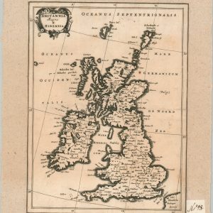
Britannia Magna & Hibernia
$60.00 Quick View -
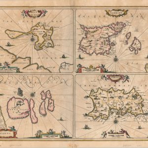
Insula Sacra et Farne
$75.00 Quick View -
Sale!
A Plan of London and its Environs, Showing the Boundaries of the Cities of London and Westminster…
Quick View -
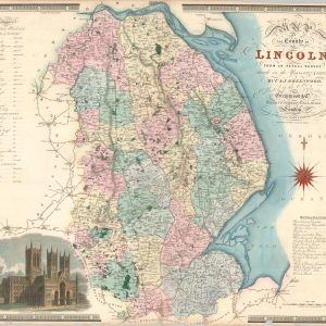
Map of the County of Lincoln From an Actual Survey made in the Years 1827 & 1828
$100.00 Quick View -
Map of the County of Monmouth From an Actual Survey made in the Years 1829 & 1830
$100.00 Quick View -
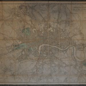
Map of London Made from an Actual Survey in the Years 1824, 1825, & 1826
Quick View -
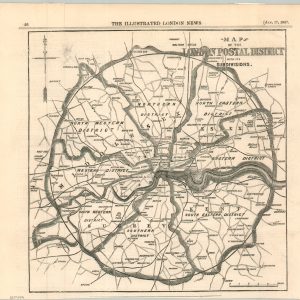
Map of the London Postal District with its Subdivisions
$75.00 Quick View -
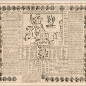
Carte Pour L’Introduction a L’Histoire d’Angleterre Ou l’on voit son Premier Gouvernement, et l’Etat Abrege de Cette Monarchie Sous les Empereurs Romains, et sous Les Rois Saxons
$95.00 Quick View -
Britannia Romana
$100.00 Quick View -
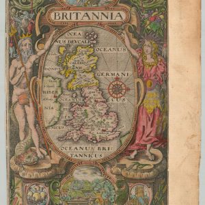
Britannia
Quick View -
Copy of Map Showing the Toll-Gates and Principal Bars within Six Miles of Charing-Cross, Exhibited to Lord Palmerston by the Toll Reform Committee
$80.00 Quick View -
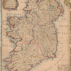
A Map of the Kingdom of Ireland from the Latest and Best Observations
$75.00 Quick View -
Nouvelle Carte de L’Angleterre dans Laqu’elle L’on Observe les Comtez les Archeves chez Les Eveschez, Les Universitez, les Villes, et les Bourgs…
$100.00 Quick View -
A Correct Chart of the English Channel from the No. Foreland to the Lands End…
$100.00 Quick View -
To Francis Basset Esq. this Parallel Section of Bullen Garden Mine in the Parish of Camborne, Cornwall
Quick View -
[Ordnance Survey Map of London and the Thames River]
$200.00 Quick View -
Old Course, St. Andrews
$115.00 Quick View -
The May Fair Hotel
$35.00 Quick View


![[Ordnance Survey Map of London and the Thames River]](https://curtiswrightmaps.com/wp-content/uploads/map_29.15x37.78_05-08-25_inv006848c-300x300.jpg)

