The second edition of Henry Mouzon’s landmark Revolutionary War-era map of the Carolinas.
$15000


The second edition of Henry Mouzon’s landmark Revolutionary War-era map of the Carolinas.
$15000

An uncommon map and prospectus promoting investment in America’s first Transcontinental Railroad.
$750.00

A scarce promotional piece for an ambitious (though ultimately unsuccessful) winemaking enterprise in northern Alabama.
$2000.00

A scarce map showing a (nearly) completed Florida East Coast Railway.
$600.00

A FEW FACTS FOR THE INTENDING INVESTOR’
$250.00
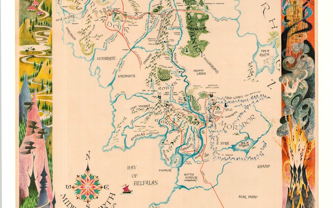
The second printing of Barbara Remington’s masterful depiction of Middle Earth.
$1400.00
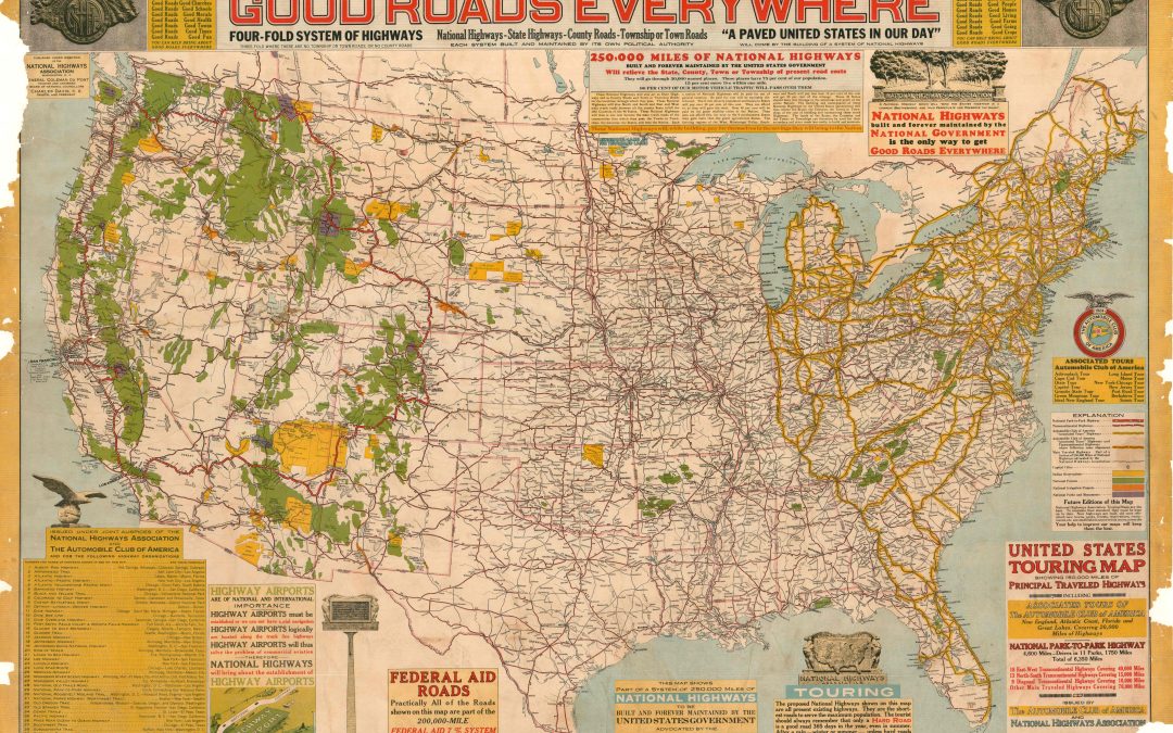
Expansive cartographic overview of the burgeoning National Highway System in the United States.
$1200.00
![The Kaiser’s Dream [Nazi Reprint]](https://curtiswrightmaps.com/wp-content/uploads/map_5.55x8.55_08-15-26_inv009074c-1080x675.jpg)
Repurposing a late 19th-century political cartoon to further the Nazi cause.
$800.00

An exceedingly rare 19th-century ‘Inundation Plan’ of Theresienstadt Fortress.
$6500

An incredible synthesis of Arctic geography and commercial interests from the mid-17th century.
$1800.00
![[Set of Three U.S.G.S. Copper Plates for Riverside, Illinois]](https://curtiswrightmaps.com/wp-content/uploads/20260828_085217-1080x675.jpg)
A rare, complete set of U.S.G.S. printing plates used in printing the 1920 map of Riverside, Illinois.
$2200

A striking mid-17th-century map of the Arctic Circle.
$2000.00

A nice example of Munster’s influential 16th century map of the world, according to Ptolemy.
$1400.00

A striking contrast to Daniel Burnham’s vision for the Chicago shoreline.
$1800.00
![Gaikaiko yokohama no zenzu [Complete Picture of the Newly Opened Port of Yokohama Harbor]](https://curtiswrightmaps.com/wp-content/uploads/map_31.63x75.23_08-14-26_inv008904c-1-1080x675.jpg)
One of the first landscape maps of the newly-established international port city of Yokohama.
$2500.00

Real estate development in Atlanta’s suburbs on the brink of the Great Depression.
$350

A rare U.S.G.S. style sheet from the early 1970s.
$300.00

EVERY PLACE YOU’LL WANT TO GO AND HOW TO GET THERE
$375.00

An unusual replica of Inuit coastal references.
$300.00

A Historical Map of the Life of Simón Bolívar.
$345.00

Celebrating the ‘First Round-the-World Flying Showroom in the History of Aviation.’
$775.00
![[Islamic Celestial Globe]](https://curtiswrightmaps.com/wp-content/uploads/DSC_0429-4-1080x675.jpg)
A charming handmade replica of an imperial Islamic celestial globe.
$900.00

A scarce 19th-century replica of an important Nahua Codex.
$2900.00

Travel the globe with Mickey & Friends!
$350.00
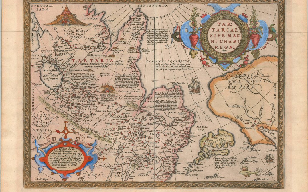
An important map of the North Pacific issued as part of the world’s first ‘modern’ atlas.
$1400.00
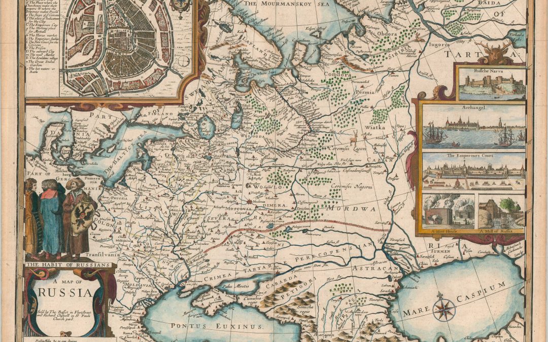
John Speed’s magnificent 1676 map of Russia.
$2200.00
![[Maps of the Crimea]](https://curtiswrightmaps.com/wp-content/uploads/map_30.77x34.09_06-02-26_inv008796c-1080x675.jpg)
Some of the most detailed British cartography of the primary theater of the Crimean War.
$1800.00
![Urbis Moskvae [Early Plan of Moscow]](https://curtiswrightmaps.com/wp-content/uploads/map_22.39x25.56_06-02-26_inv008795c-1080x675.jpg)
A beautiful example of an important 17th century plan of Moscow.
$3900.00

A striking depiction of northern Asia from the late 17th century.
$2750.00

A revealing look at the heart of an expanding 17th century Russia.
$2500.00
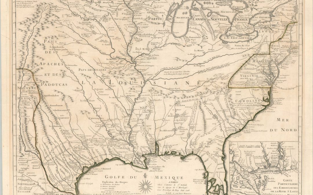
A landmark of North American cartography – the first (1718) edition of Delisle’s map of French Louisiane and the Mississippi River.
$9500.00
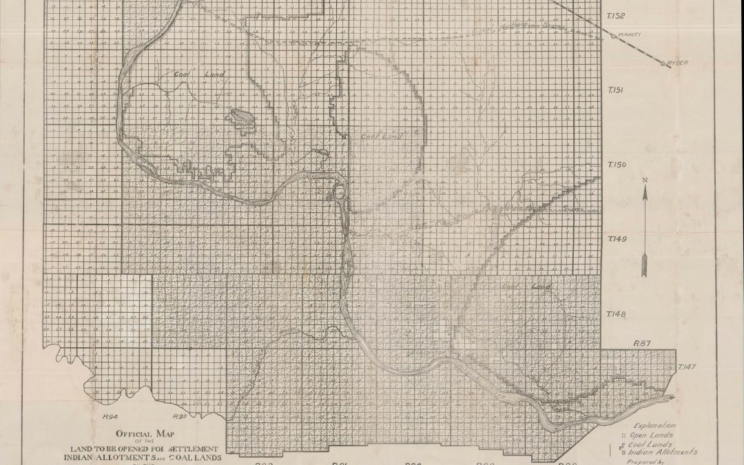
The Official Map of the Fort Berthold Reservation in North Dakota
$1600.00
![[Collection of Captured WWI Maps from the Salonica Front]](https://curtiswrightmaps.com/wp-content/uploads/DSC_0167-1080x675.jpg)
Mapping the gritty details of the Macedonian Front during WWI.
$5200.00
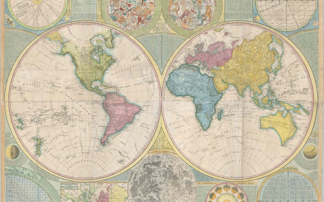
A stunning encapsulation of the Earth and the Heavens from the late 18th century.
$5000.00
![New National Authentic Map of Detroit and Environs [Ford River Rouge Overprinting]](https://curtiswrightmaps.com/wp-content/uploads/map_23.52x28.15_04-26-26_inv008570c-1080x675.jpg)
“Lincoln Park is the very heart of Detroit’s new South-West Side Soon to be the World’s Greatest Manufacturing Center”
$1100.00

Eastern Cuba, shortly before the outbreak of the Spanish-America War.
$1500.00

A nice example of an important 16th century map of the Americas.
$4200.00

A striking 18th century map of the area around Oslo, Norway.
$500.00
![[Backstage Magic Introduction Storyboard]](https://curtiswrightmaps.com/wp-content/uploads/map_43.05x24.05_04-25-26_inv008421c-1080x675.jpg)
A rare early visualization of the “Backstage Magic” attraction at EPCOT.
$900.00
![Pebble Beach [Print Block]](https://curtiswrightmaps.com/wp-content/uploads/DSC_2795-1080x675.jpg)
A beautiful print block of one of America’s most celebrated golf courses.
$600
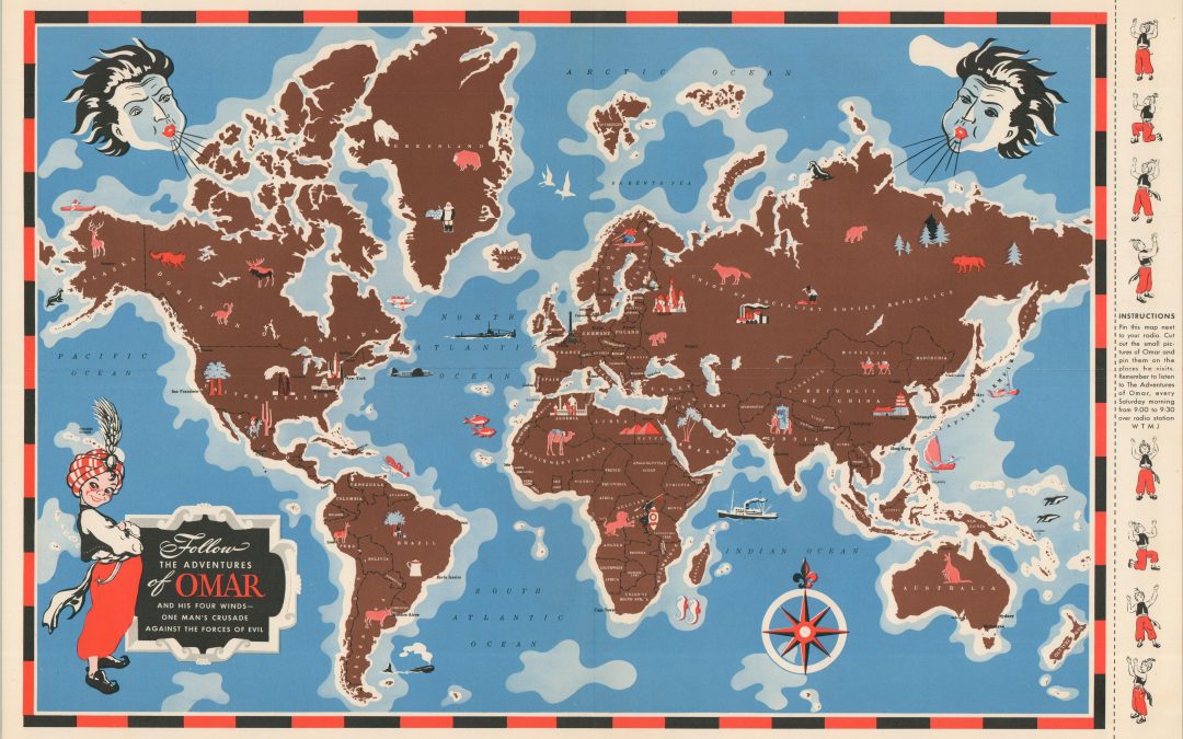
One Man’s Crusade Against the Forces of Evil.
$1200.00

Rare 1930s corporate promo for IBM.
$450.00
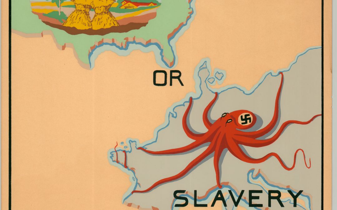
A spectacular individual effort to support the Allied cause.
$700.00
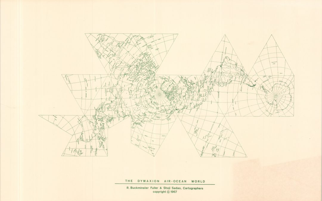
Mapping the revolutionary designs of Buckminster Fuller.
$600.00
![[Map and Print Block of the 102nd Infantry Division]](https://curtiswrightmaps.com/wp-content/uploads/map_12.07x16.16_02-17-26_inv008248c-1080x675.jpg)
An incredible artifact capturing the ‘approved’ commemoration of World War II.
$2200.00
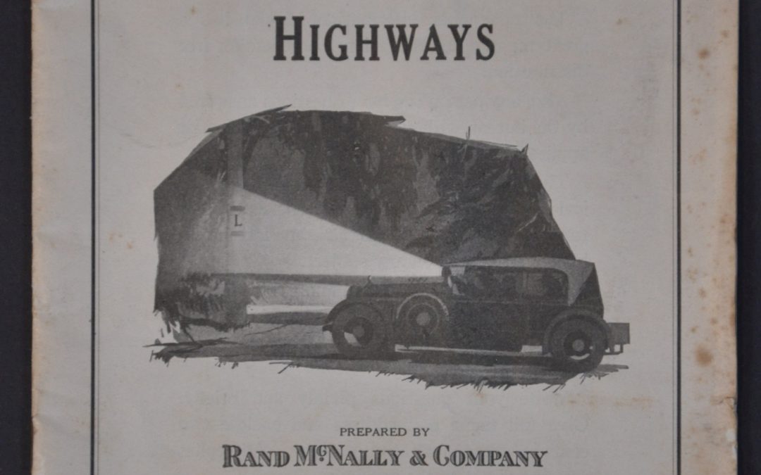
A magnificent ‘How To Guide’ for traveling America’s roads before the Numbered Highway System.
$395.00
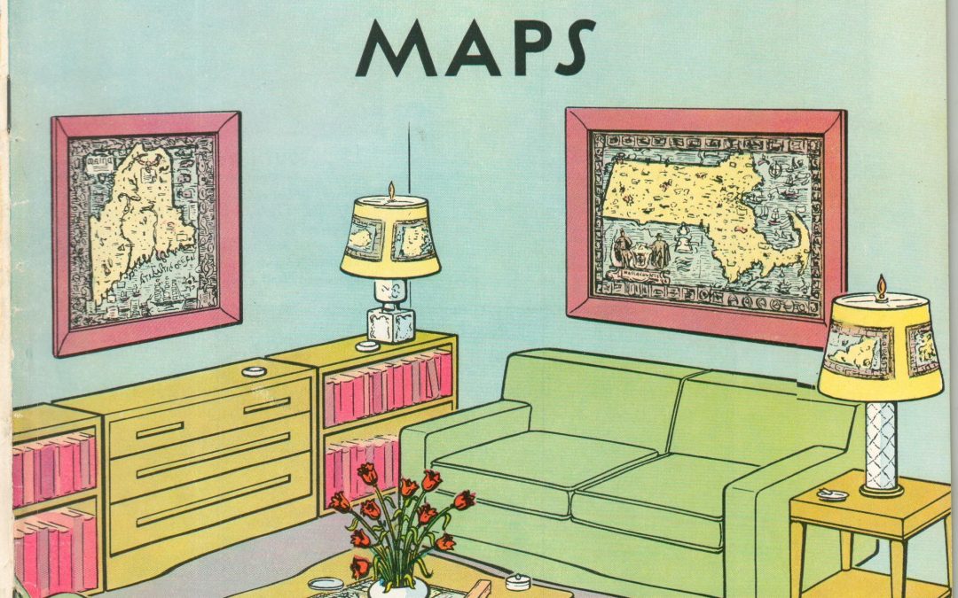
The best collection of pictorial maps you’ll find in one place!
$350.00
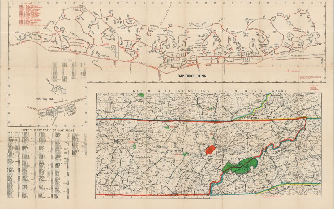
Mapping the start of the Atomic Age.
$900.00
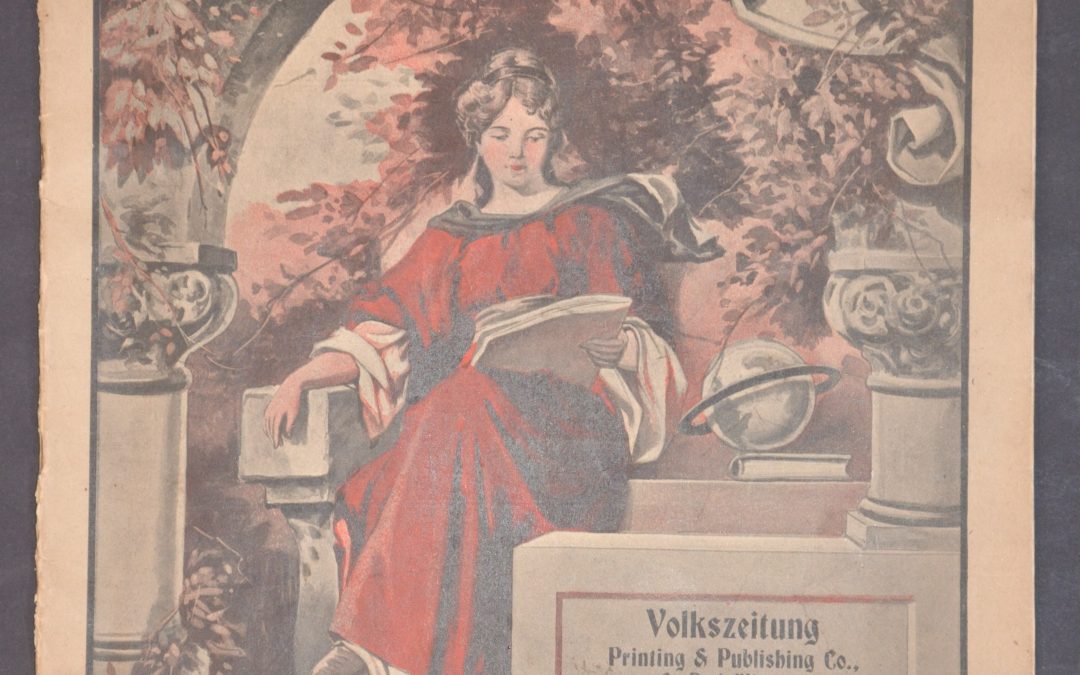
Conflicting priorities during the First World War.
$295.00
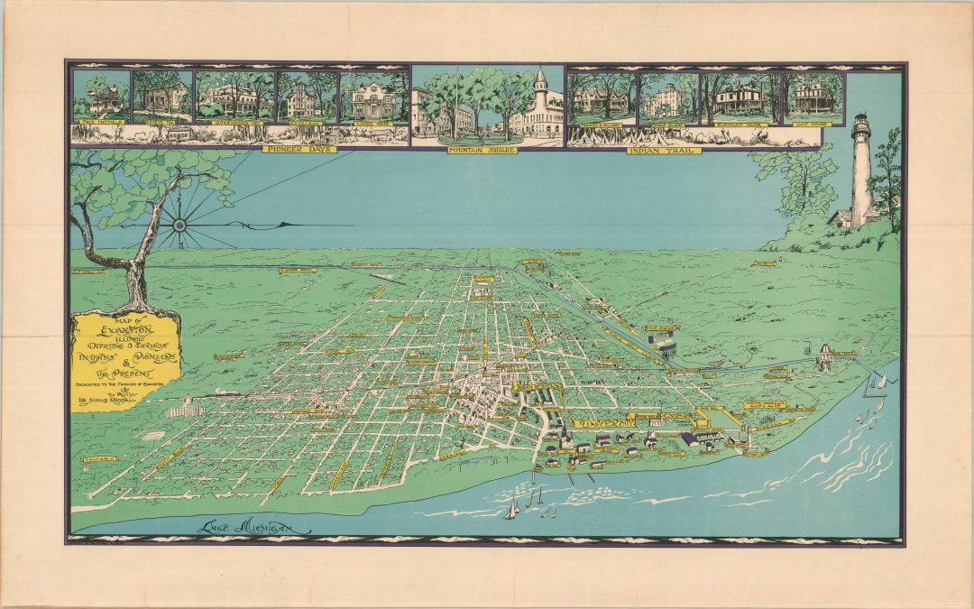
Rare bird’s eye view of Evanston, Illinois from the mid-1930s.
$1250