
Die Neuwen Inseln – so hinder Hispanien gegen Orient ven dem land indie ligen
A nice example of an important 16th century map of the Americas.
Out of stock
Description
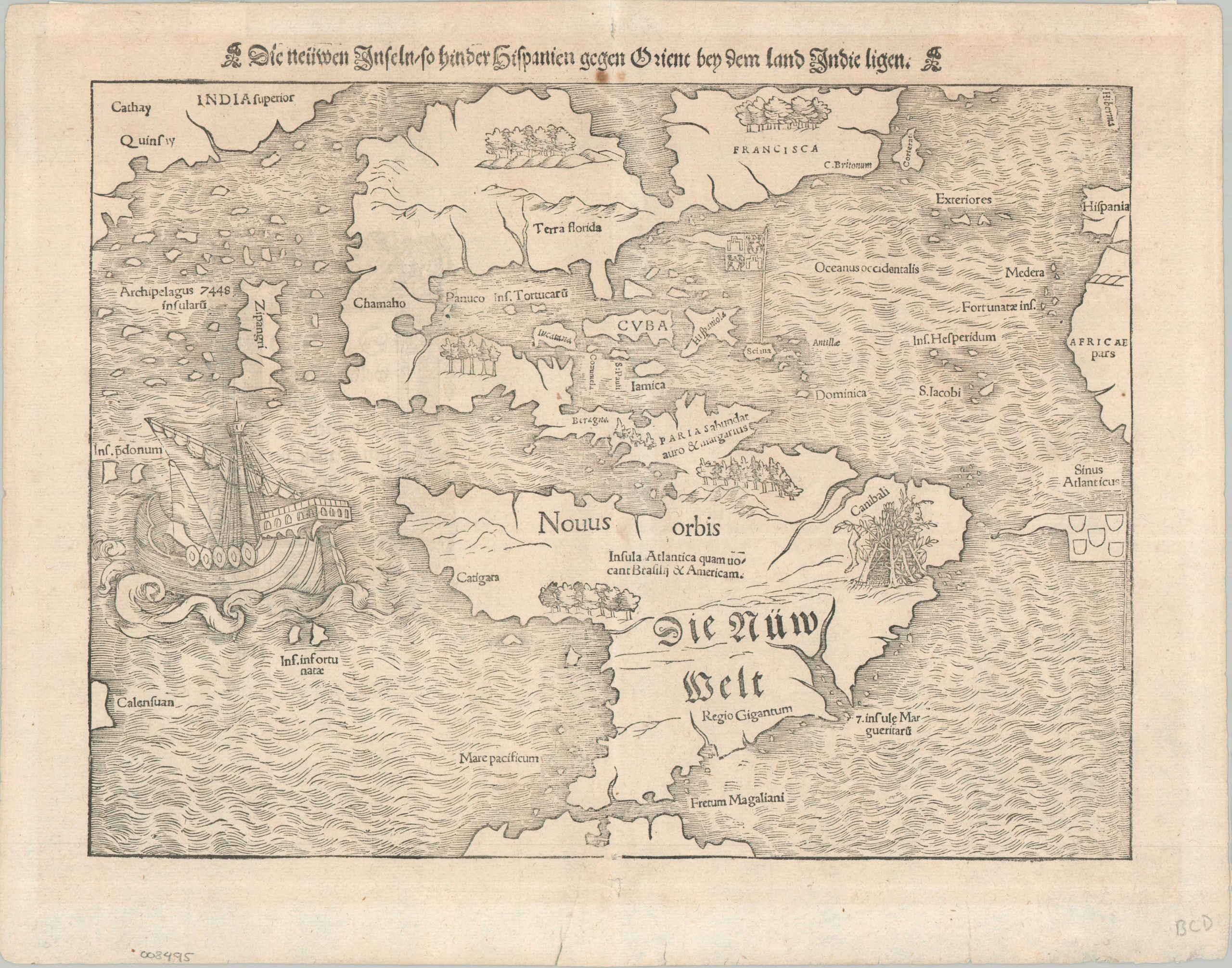
This foundational woodcut is one of the most influential cartographic images of the 16th century, representing the first widely available “modern” map of the Americas. Originally appearing in Münster’s 1540 Geographia, the woodblock was updated for the 1544 Cosmographia to include the toponym “America” – incorporating the name from Martin Waldseemüller’s landmark 1507 wall map and effectively cementing it into common European usage. This specific example originates from the 1556 German edition, published during an era when Münster’s work served as the primary visual reference for a generation attempting to comprehend the staggering scale and nature of the New World.
The geography presented is a fascinating blend of nascent maritime discovery and lingering medieval geographic theory. While the approximate outlines of the continents are recognizable, the map is dominated by significant cartographical errors, most notably the Sea of Verrazzano – a massive, unlabeled bay in the north reflecting the popular misconception of a near-shortcut to the Pacific. To the south, the Strait of Magellan is clearly delineated, providing a gateway to the Pacific Ocean where Zipangri (Japan) and India Superior are depicted in close proximity to the American coast, based largely on the dated accounts of Marco Polo rather than direct contact.
Münster’s work is equally remarkable for its ethnographic and political iconography, which acted as a form of early imperial propaganda. In the Brazilian interior, a graphic woodcut of a “cannibal’s hut” highlights the exotic dangers of the unknown, while the Kingdom of Giants in Patagonia perpetuates the myths of Magallan’s voyage. Small flags denote the competing colonial spheres of Spain and Portugal, anchored by a large depiction of the Nao Victoria – the sole ship to survive the first circumnavigation. This imagery framed the Americas not merely as a geographic obstacle, but as a series of interrelated “New Lands,” ripe for exploration and integration.
By the time this edition was published, the Spanish treasure fleets were beginning to formalize the trans-Pacific routes that would soon evolve into the legendary Manila Galleon trade. However, because Münster’s geography predated the definitive mapping of the Pacific interior, the map captures a “frozen” moment in history where empirical evidence and ancient legend overlap. The 1556 edition presents the map in its 7th state, omitting the toponym Temisitian on the West Coast and the latitude and longitude bars, though Sciana is included at the base of the Spanish flag (later replaced in Italics).
Sources: Burden 12
Map Details
Publication Date: 1556
Author: Sebastian Munster
Sheet Width (in): 15.60
Sheet Height (in): 12.40
Condition: B+
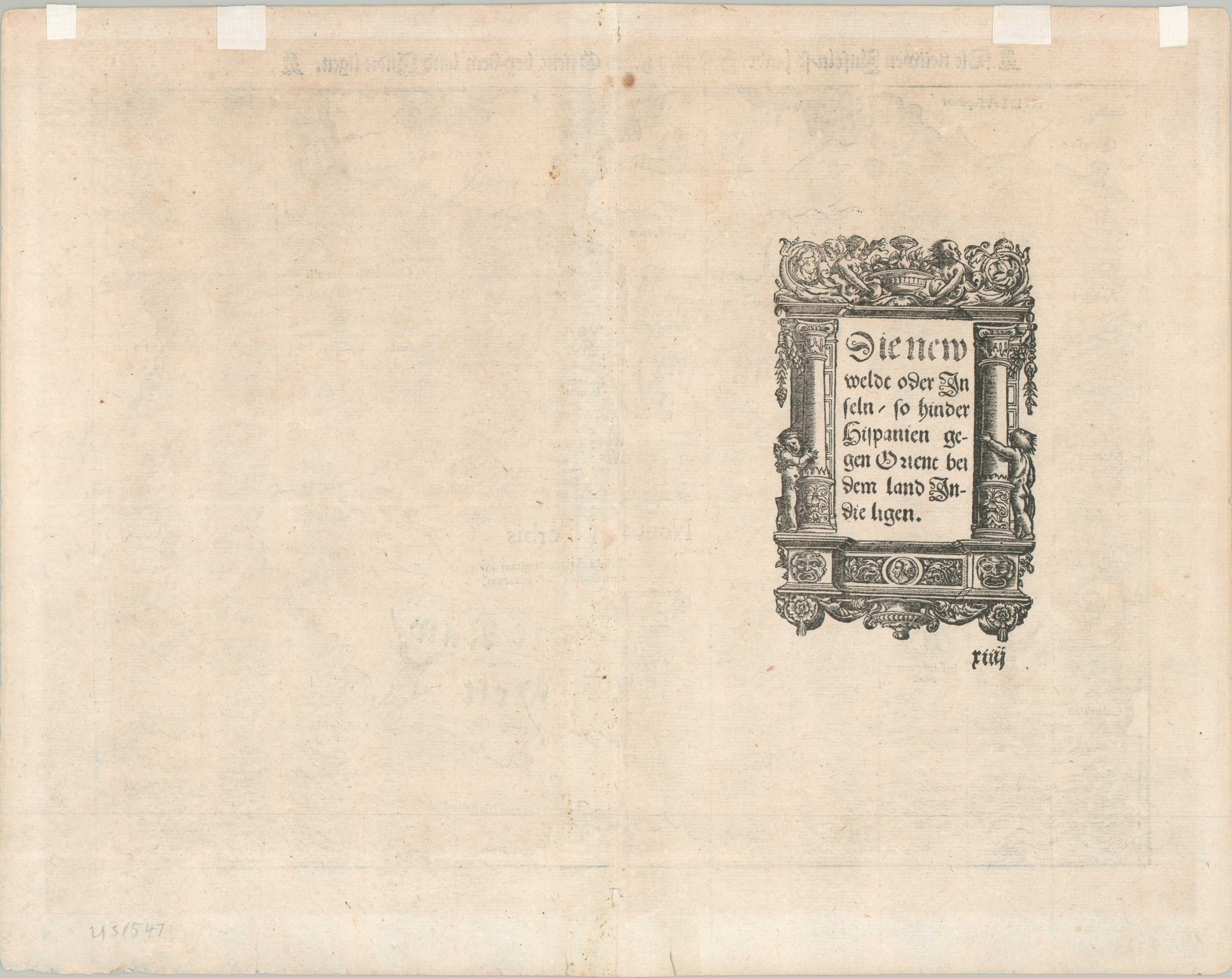
Condition Description: Woodblock map printed on a somewhat thin, flattened sheet with German text on the verso. Small close marginal tears repaired on the verso with archival tape, with a few additional pieces used as mounted when previously framed. Two small spots of foxing in the center, below the title block, and one other tiny spot in West Africa. Some wear along the centerfold has been expertly repaired, mostly in the margins. Good to very good condition overall.
Out of stock