Pacific Ocean
Maps of the Pacific Ocean, including portions of the U.S. West Coast and eastern Asia.
Showing 1–18 of 178 resultsSorted by latest
-
![[World War II - 1939-1945 - Album of Maps]](data:image/svg+xml,%3Csvg%20xmlns='http://www.w3.org/2000/svg'%20viewBox='0%200%20300%20300'%3E%3C/svg%3E)
[World War II – 1939-1945 – Album of Maps]
Quick View -
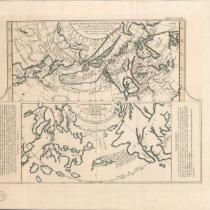
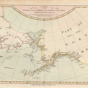
A Chart of the North West Coast of America and North East Coast of Asia, Explored in the Year 1778 & 1779
$195.00 Quick View -
The American Gazetteer
Quick View -
Westliche Halbkugel [Western Hemisphere]
$80.00 Quick View -
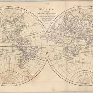
The World from the Discoveries & Observations made in the Latest Voyages & Travels
$145.00 Quick View -
Carte Des Nouvelles Decouvertes dresseee par Phil. Buache
$250.00 Quick View -
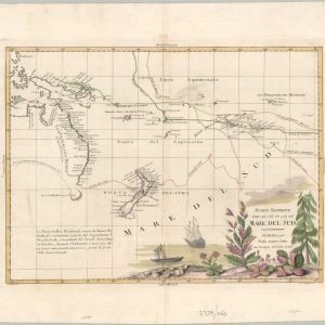
Nuove Scoperte Fatte nel 1765, 67 e 69 nel Mare Del Sud
$875.00 Quick View -
Andrees Allgemeiner Handatlas
$275.00 Quick View -
America e Oceania
$300.00 Quick View -
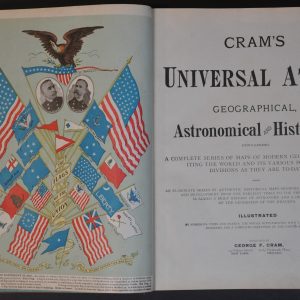
Cram’s Universal Atlas
Quick View -
Places of the World
$95.00 Quick View -
Atlante Geografico Metodico
$200.00 Quick View -
Pacific Mail Steamship Company Overland Route to Great Britain Through America
Quick View -
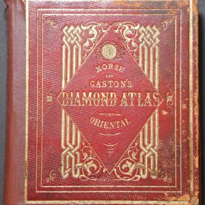
Morse & Gaston’s Diamond Atlas: Oriental
$450.00 Quick View -
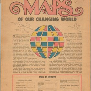
Maps of our Changing World
Quick View -
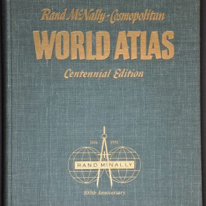
Rand McNally Cosmopolitan World Atlas Centennial Edition
Quick View -
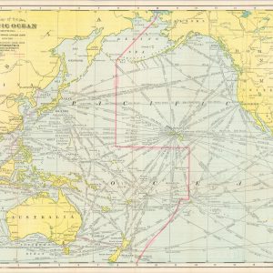
Map of the Pacific Ocean Showing Distances between Principal Points and the International Date Line
$250.00 Quick View -
The Pacific Ocean
$40.00 Quick View
![[World War II - 1939-1945 - Album of Maps]](https://curtiswrightmaps.com/wp-content/uploads/DSC_0270-300x300.jpg)

![Westliche Halbkugel [Western Hemisphere]](https://curtiswrightmaps.com/wp-content/uploads/map_11.11x9.83_04-23-26_inv008624c-300x300.jpg)