
The Pacific Ocean
$40.00
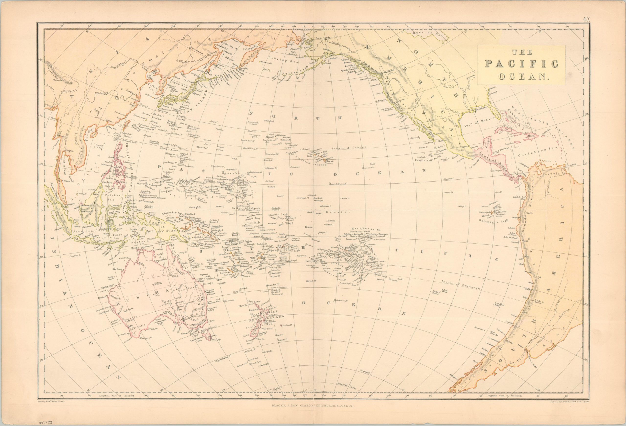
The expansive Pacific Ocean near the end of the 19th century.
1 in stock
Description
This attractive antique map was drawn and engraved by Edward Weller and published around 1886 by Blackie & Son. The image provides a detailed overview of the expansive body of water and adjacent continental landmasses. Place names show an interesting mix of European (mostly English) and local languages. Certain features, like reefs and islands, are labeled with a question mark, indicating their location is uncertain or unverified.
Map Details
Publication Date: c. 1886
Author: Edward Weller
Sheet Width (in): 22.25
Sheet Height (in): 15.1
Condition: B+
Condition Description: Printed color map on a moderately toned sheet with a chipped upper right corner. Light soiling visible in the margins and along the centerfold. Good condition overall.
$40.00
1 in stock