
Survey
Maps which provide information obtained through surveying methods.
Showing 1–18 of 925 resultsSorted by latest
-

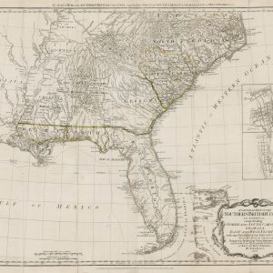
A General Map of the Southern British Colonies, in America. Comprehending North and South Carolina, Georgia, East and West Florida, with the Neighbouring Indian Countries
$5,400.00 Quick View -
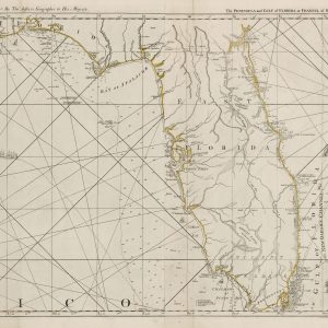
The Coast of West Florida and Louisiana [and] The Peninsula and Gulf of Florida or Channel of Bahama with the Bahama Islands
$4,500.00 Quick View -
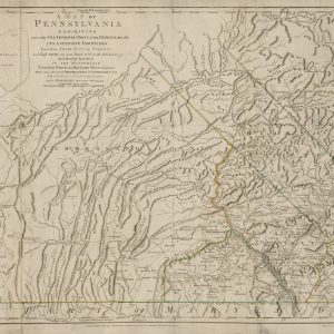
A Map of Pennsylvania Exhibiting not only the Improved Parts of that Province, but also its Extensive Frontiers
$8,000.00 Quick View -
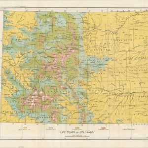
North American Fauna A Biological Survey of Colorado
$150.00 Quick View -
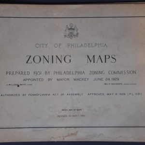
City of Philadelphia Zoning Maps
$200.00 Quick View -
An Accurate Map of North and South Carolina With Their Indian Frontiers, Shewing in a distinct manner all the Mountains, Rivers, Swamps, Marshes, Bays, Creek, Harbours, Sandbanks and Soundings on the Coast; With the Roads & Indian Paths; as well as The Boundary or Provincial Lines
$15,000.00 Quick View -
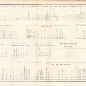
Routes Near the 47th and 49th Parallels Profiles From Explorations and Surveys Made Under the Direction of the Hon. Jefferson Davis, Secretary of War
$95.00 Quick View -
K. & M. Ry. Charleston W. Va. Sketch of Proposed Passenger Agent’s Office
$60.00 Quick View -
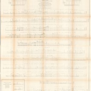
Profiles of the Main Routes Surveyed Compiled in 1855
$145.00 Quick View -
The Baltimore and Ohio System General Instructions No. 79 Specifications for Drawing
$50.00 Quick View -
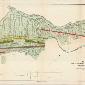
Map of Property Belonging to the Nantahala Marble & Talc Co. Situated in Swain County, North Carolina
$450.00 Quick View -
Rand-McNally Map of the Comanche, Kiowa, and Apache Indian Reservations, Oklahoma Territory
$1,200.00 Quick View -
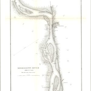
Mississippi River [Sheets No. 2 – 6]
$700.00 Quick View -
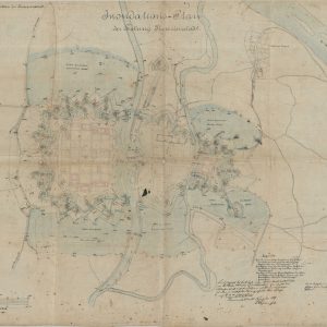
Inondations-Plan der Festung Theresienstadt
$5,500.00 Quick View -
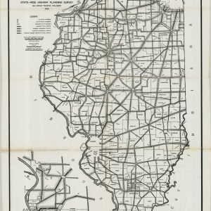
Traffic Map of the State of Illinois
$125.00 Quick View -
The Arthur Kill or Staten Island Sound from Kill Von Kull to Raritan Bay New York and New Jersey [Three Sheets]
$250.00 Quick View -
Examination and Survey of San Bernard River, Texas
$375.00 Quick View -
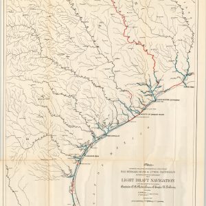
Clear Creek, Texas, Showing Proposed Connection from its Mouth to West Galveston Bay for a Light Draft Navigation
$150.00 Quick View






show blocks helper