Curtis Wright Maps
  • Home
  • About
  • Contact
  • Terms & Conditions
  • Blog
  • Featured Maps
  • SALE
  • Shop
Select Page
×
Home / Map Themes / Science / Survey / Page 3

Survey

Showing 37–54 of 925 resultsSorted by latest

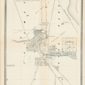
  • Map of Riverdale and Surroundings, Cook County Ills.Sold Out

    Map of Riverdale and Surroundings, Cook County Ills.

    Quick View
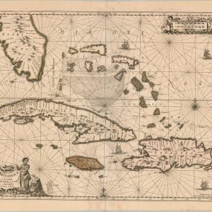
  • Insularum Hispaniolae et Cubae Cum Insulis circum jacentibus accurata delineatio

    Insularum Hispaniolae et Cubae Cum Insulis circum jacentibus accurata delineatio

    $1,250.00
    Quick View
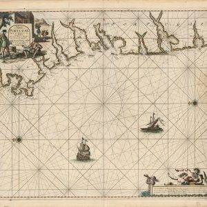
  • Paskaart von Gallissien ou Portugal Van C. de Finisterre totaen Zurara

    Paskaart von Gallissien ou Portugal Van C. de Finisterre totaen Zurara

    $900.00
    Quick View
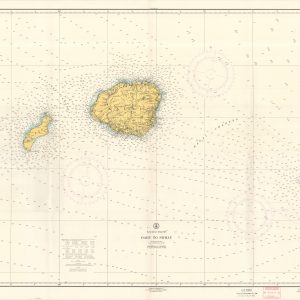
  • Hawaiian Islands Oahu to Niihau

    Hawaiian Islands Oahu to Niihau

    $150.00
    Quick View
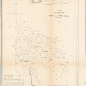
  • Romer and Flynn's Shoals New York Bay

    Romer and Flynn’s Shoals New York Bay

    $75.00
    Quick View
  • Irrigation in Egypt

    Irrigation in Egypt

    $200.00
    Quick View
  • [Maps of the Cholera Epidemic of 1873]

    [Maps of the Cholera Epidemic of 1873]

    $350.00
    Quick View
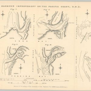
  • Harbour Improvement on the Pacific Coast of the United States

    Harbour Improvement on the Pacific Coast of the United States

    $125.00
    Quick View
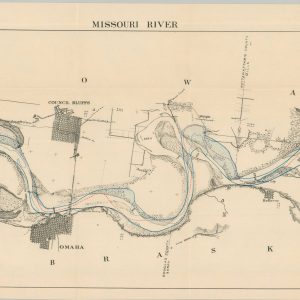
  • Missouri River

    Missouri River

    $80.00
    Quick View
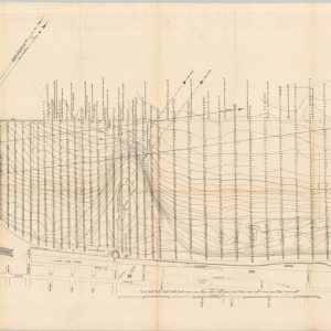
  • Cleveland Harbor, Ohio - Eastern Approach

    Cleveland Harbor, Ohio – Eastern Approach

    $200.00
    Quick View
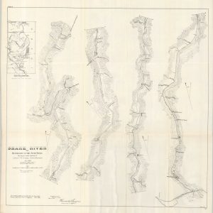
  • Snake River from the Huntington to the Seven Devils

    Snake River from the Huntington to the Seven Devils

    $125.00
    Quick View
  • Map of the Straits of Florida and Gulf of Mexico

    Map of the Straits of Florida and Gulf of Mexico

    $200.00
    Quick View
  • Waukegan Harbor, Illinois

    Waukegan Harbor, Illinois

    $100.00
    Quick View
  • Report of the U.S. Nicaragua Surveying Party, 1885

    Report of the U.S. Nicaragua Surveying Party, 1885

    $250.00
    Quick View
  • Reports of Explorations and Surveys, to Ascertain the Practicability of a Ship-Canal Between the Atlantic and Pacific Coasts by the way of the Isthmus of Tehuantepec

    Reports of Explorations and Surveys, to Ascertain the Practicability of a Ship-Canal Between the Atlantic and Pacific Coasts by the way of the Isthmus of Tehuantepec

    $250.00
    Quick View
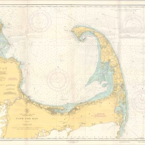
  • Cape Cod Bay

    Cape Cod Bay

    $95.00
    Quick View
  • Map of Potomac River Showing Freshet of February 12, 1881

    Map of Potomac River Showing Freshet of February 12, 1881

    $90.00
    Quick View
  • Ceylon

    Ceylon

    $600.00
    Quick View
  • ←
  • 1
  • 2
  • 3
  • 4
  • 5
  • 6
  • …
  • 50
  • 51
  • 52
  • →
show blocks helper

Product tags

CONTACT

curtis@curtiswrightmaps.com
(812) 881-1700


CURTIS WRIGHT MAPS IS A CHICAGO AREA MAP DEALER, SPECIALIZING IN ANTIQUE MAPS

Sign up for email updates

* indicates required

© 2026 Curtis Wright Maps. All Rights Reserved. Design by M Rock Creative.