British Empire
Maps showing the extent of the British Empire – territories and dominions ruled or administered by the United Kingdom and its predecessor states.
Showing 1–18 of 353 resultsSorted by latest
-

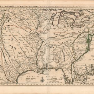
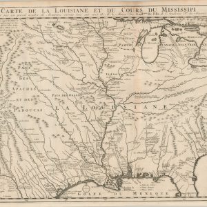
Carte de la Louisiane et du Cours du Mississipi…
$1,800.00 Quick View -
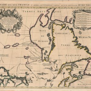
Le Canada ou Partie de la Nouvelle France
$1,250.00 Quick View -
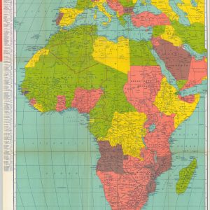
Rand McNally Map of Africa
$100.00 Quick View -
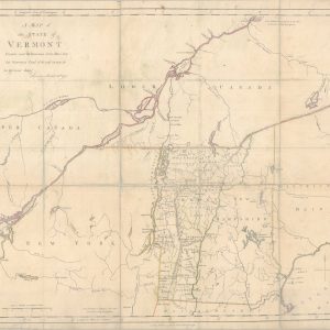
A Map of the State of Vermont Drawn under the Direction of Ira Allen, Esquire
$2,200.00 Quick View -
Partie De L’Amerique Septent. Qui comprend La Nouvelle France ou Le Canada
$650.00 Quick View -
The Western Hemisphere
$95.00 Quick View -
The World from the Discoveries & Observations made in the Latest Voyages & Travels
$145.00 Quick View -
Carte Contenant le Royaume du Mexique et la Floride, Dressez sur les meilleures observations & fur les Memoires les plus Nouveaux
$295.00 Quick View -
The Continuation of the Road from London to the Lands End Plate 2d
$150.00 Quick View -
A New Map of the Cherokee Nation [and] A Sketch of the Cherokee Country
$235.00 Quick View -
Carte de la Louisiane et du cours du Mississipi dressée sur un grand nombre de mémoires entrautres sur ceux de Mr. le Maire, par Guillaume De l’Isle
$850.00 Quick View -
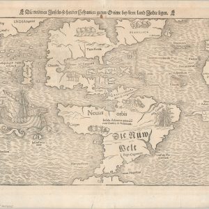
Die Neuwen Inseln – so hinder Hispanien gegen Orient ven dem land indie ligen
$4,200.00 Quick View -
A Memoir on the North-Eastern Boundary in Connexion with Mr. Jay’s Map
$375.00 Quick View -
Birds-Eye View of the Suez Canal Connecting the Red Sea with the Mediterranean
$100.00 Quick View -
Britannia: Or a Chorographical Description of Great Britain and Ireland [Title Page]
$95.00 Quick View -
Sold Out
Atlas to Marshall’s Life of Washington
Quick View -
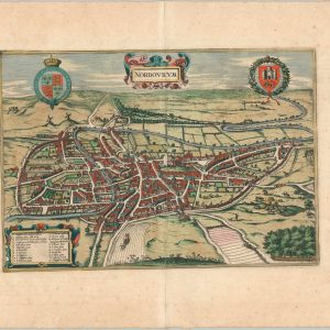
Nordovicum
$295.00 Quick View -
A Brief Description of the Birds Eye View of the Madura Town
$500.00 Quick View

![A New Map of the Cherokee Nation [and] A Sketch of the Cherokee Country](https://curtiswrightmaps.com/wp-content/uploads/Inv8509-300x300.jpg)


![Britannia: Or a Chorographical Description of Great Britain and Ireland [Title Page]](https://curtiswrightmaps.com/wp-content/uploads/map_9.79x15.76_02-17-26_inv008307c-300x300.jpg)


show blocks helper