Caribbean
Maps of the Caribbean Sea, its islands, and nearby coastlines.
Showing 1–18 of 172 resultsSorted by latest
-

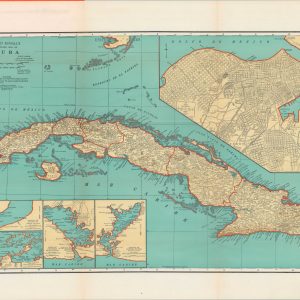
Rand McNally Standard Map of Cuba
$100.00 Quick View -
The American Gazetteer
Quick View -
Map of Good Wishes for 1929
Quick View -
Carte Contenant le Royaume du Mexique et la Floride, Dressez sur les meilleures observations & fur les Memoires les plus Nouveaux
Quick View -
Map of the West Indies & Central America Shewing the Countries were the Mahogany & Fine Forest Trees Abound
$60.00 Quick View -
Military Map of the Island of Cuba Prepared in the War Department, Adjutant General’s Office Military Information Division From The Latest Official Sources. 1897
$1,500.00 Quick View -
Tabacs
$150.00 Quick View -
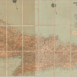
The Story of Cane Sugar [Title on Verso]
Quick View -
Andrees Allgemeiner Handatlas
$275.00 Quick View -
America e Oceania
$300.00 Quick View -
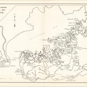
Guantanamo Bay Visitors Map
$95.00 Quick View -
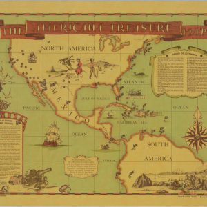
The Americana Treasure Map
$175.00 Quick View -
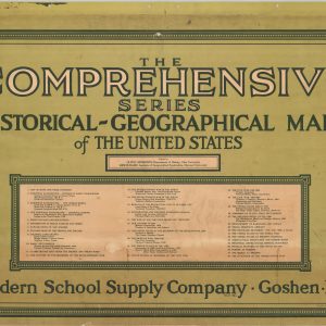
The Comprehensive Series of Historical-Geographical Maps of the United States
Quick View -
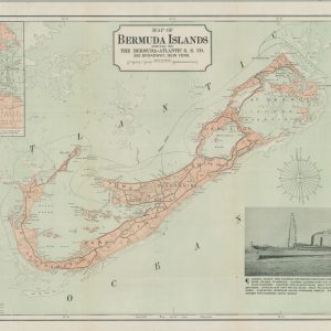
Map of Bermuda Islands
$200.00 Quick View -
Puerto Rico
$225.00 Quick View -
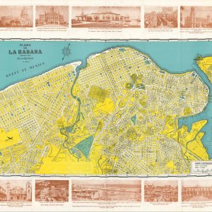
Plano de La Habana
$250.00 Quick View -
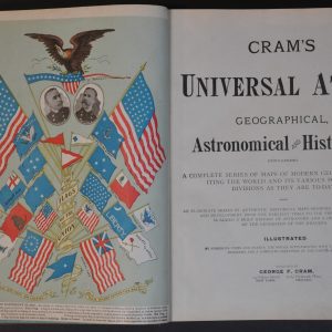
Cram’s Universal Atlas
Quick View -
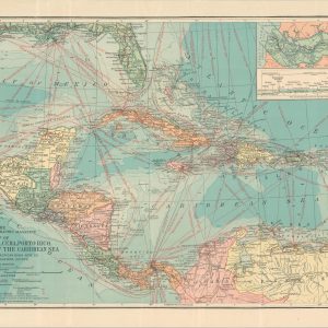
Map of Central America, Cuba, Porto Rico, and the Islands of the Caribbean Sea
$60.00 Quick View


![The Story of Cane Sugar [Title on Verso]](https://curtiswrightmaps.com/wp-content/uploads/map_15.88x18.11_03-01-26_inv006810-300x300.jpg)