American Empire
Showing 1–18 of 311 resultsSorted by latest
-

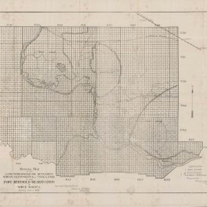
Official Map of the Land to be Opened for Settlement Indian Allotments and Coal Lands on the Fort Berthold Reservation in North Dakota
Quick View -
The American Gazetteer
Quick View -
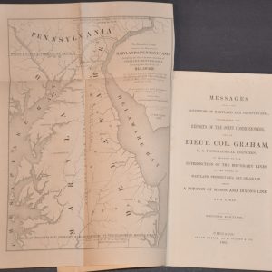
Report of Lieut. Col. J.D. Graham, U.S. Topographical Engineers, on Mason and Dixon’s Line
$225.00 Quick View -
United States
Quick View -
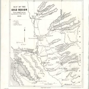
Map of the Gold Region from Actual Survey by Direction of Com. Jones
$900.00 Quick View -
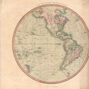
The Western Hemisphere
$95.00 Quick View -
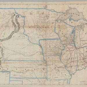
Map of the Northern Parts of the United States of America
$325.00 Quick View -
Official Paved Road and Commercial Survey of the United States
$125.00 Quick View -
Military Map of the Island of Cuba Prepared in the War Department, Adjutant General’s Office Military Information Division From The Latest Official Sources. 1897
$1,500.00 Quick View -
A New Map of the Great West
Quick View -
[Maps of the Mullan Road]
$225.00 Quick View -
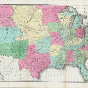
The United States from the Latest Authorities
$295.00 Quick View -
Montana – Map of the Yellowstone Region – The Sioux War – the Seen of General Crook’s Battle of the Rosebud, June 17th, and of General Custer’s Massacre, On the Little Big Horn River
$125.00 Quick View -
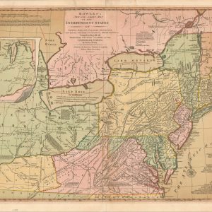
Bowles’s New One-Sheet Map of the Independent States of Virginia, Maryland, Delaware, Pensylvania, New Jersey, New York, Connecticut & Rhode Island. &c
$1,800.00 Quick View -
Sac and Fox Lands Keokuk Reserve [Print Block]
$175.00 Quick View -
A Memoir on the North-Eastern Boundary in Connexion with Mr. Jay’s Map
$375.00 Quick View -
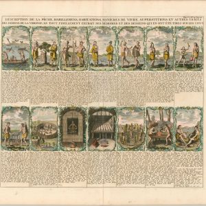
Description de la Peche, Habillemens, Habitations, Manieres de Vivre, Superstitions et Autres Usages des Indiens de la Virginie
$250.00 Quick View -
Indian Villages of the Illinois Country
$125.00 Quick View


![[Maps of the Mullan Road]](https://curtiswrightmaps.com/wp-content/uploads/map_16.94x8.87_04-14-26_inv008491c-300x300.jpg)

![Sac and Fox Lands Keokuk Reserve [Print Block]](https://curtiswrightmaps.com/wp-content/uploads/DSC_2704-300x300.jpg)