
The Growth and Development of America in Maps by Linweave
$600.00
A Demonstration of Linweave Papers and an Historical and Decorative Memento for You
1 in stock




Description
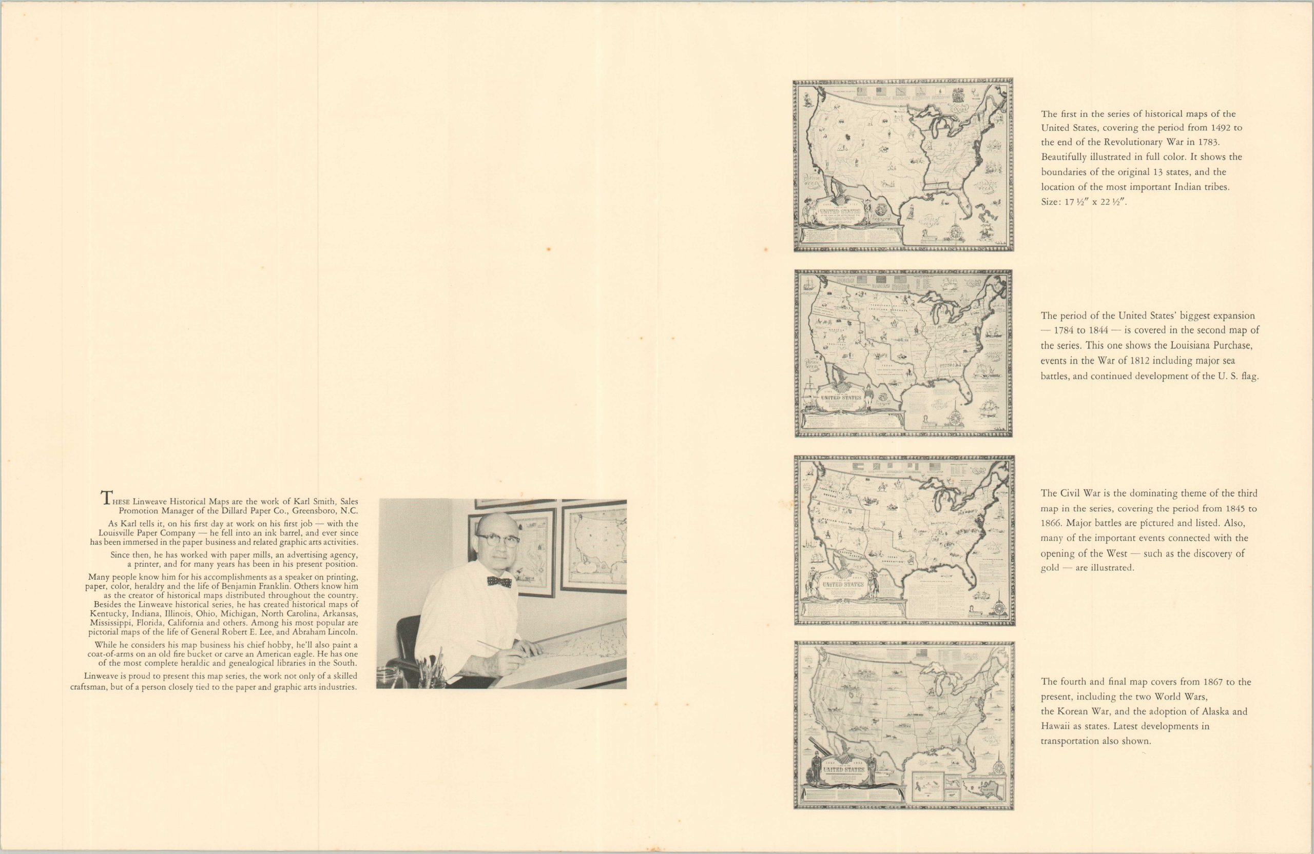
“Linweave is proud to present this map series, the work not only of a skilled craftsman, but of a person closely tied to the paper and graphic arts industries.” – Folder.
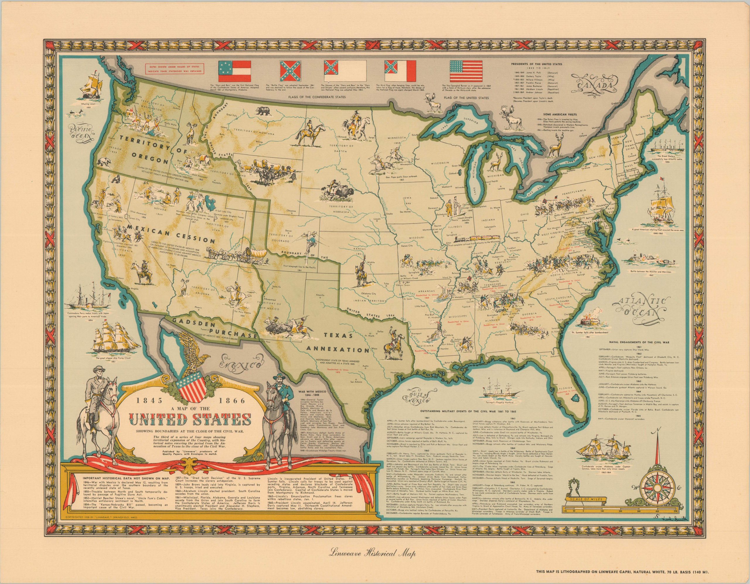
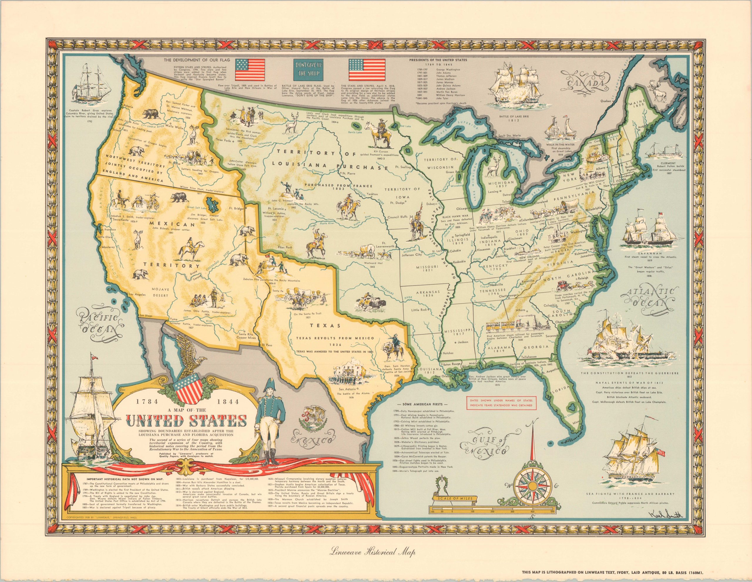
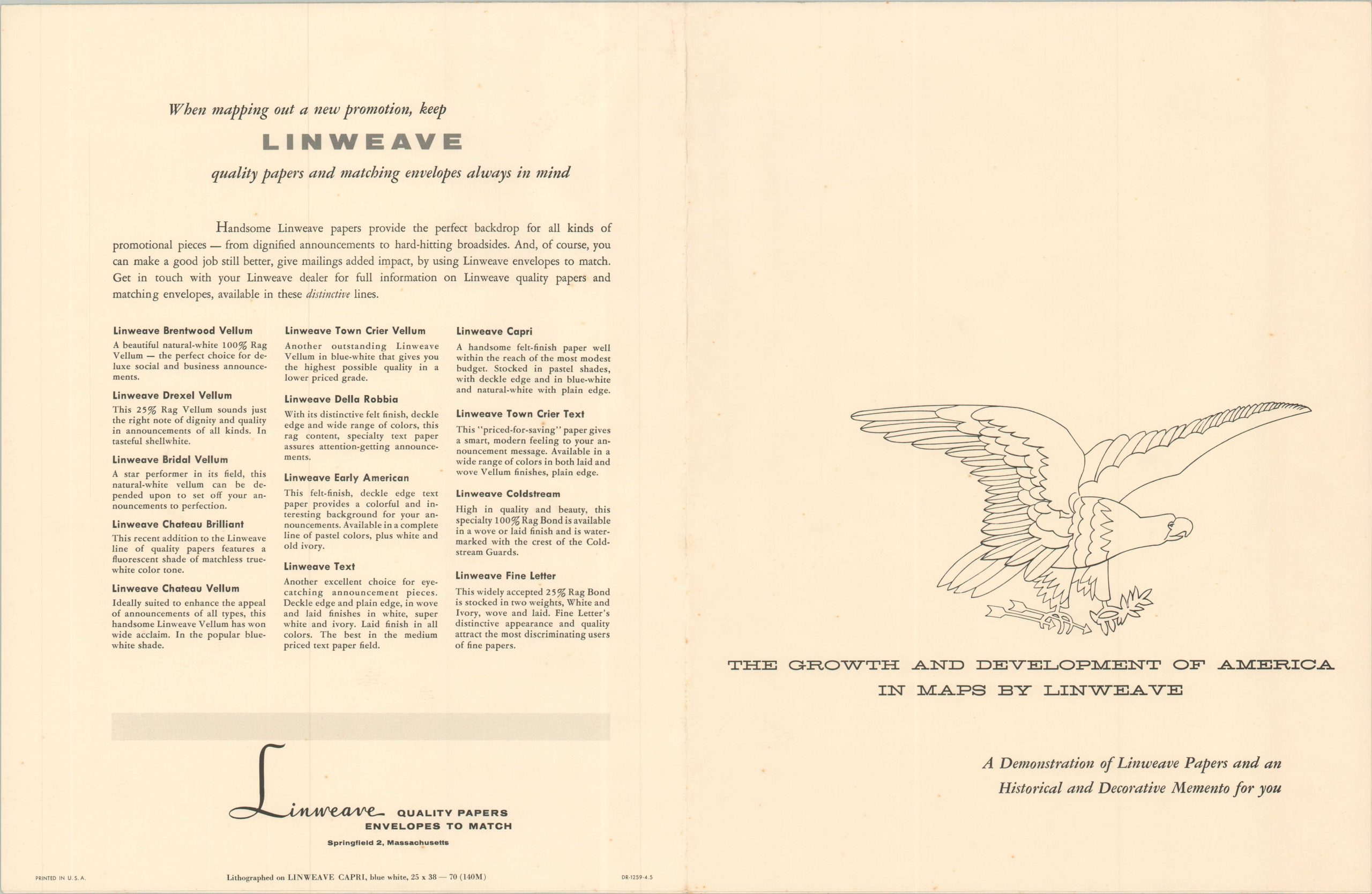
This spectacular assortment of pictorial maps was published in 1959 by the Linweave Company of Springfield, Massachusetts, as a high-end promotional specimen for the Barton, Duer, & Koch Paper Company. The set, housed in its original red embossed folder, features four vibrant historical maps of the United States illustrated by the noted pictorial cartographer Karl Smith. A folded sheet includes additional information, as well as a short biography of the talented artist.
Each map is lithographed on a distinct grade and texture of Linweave paper -with the specific paper stock identified in the lower right- serving as both a historical survey and a professional catalog of the mill’s finest products. The four sheets trace the evolution of the American Republic: from the era of European colonization and the Revolutionary War (1492–1783) through Westward Expansion and the Civil War. The series concludes with a mid-century map of the modern United States, notably including the newly admitted states of Alaska and Hawaii.
Map Details
Publication Date: 1959
Author: Karl Smith
Sheet Width (in): 22.50
Sheet Height (in): 17.25
Condition: A
Condition Description: Collection of four single-sided color lithographed maps on fine paper, with accompanying paper slip case. A bit of faint spotting in the margins and light wrinkling, but overall in very good condition.
$600.00
1 in stock