
Industry
Showing 1–18 of 5120 resultsSorted by latest
-

An Accurate Map of North and South Carolina With Their Indian Frontiers, Shewing in a distinct manner all the Mountains, Rivers, Swamps, Marshes, Bays, Creek, Harbours, Sandbanks and Soundings on the Coast; With the Roads & Indian Paths; as well as The Boundary or Provincial Lines
$15,000.00 Quick View -
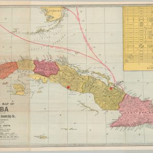
Official Map of Cuba
$325.00 Quick View -
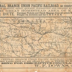
Map of the Central Branch Union Pacific Railroad, as constructed and projected.
$245.00 Quick View -
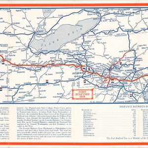
Official Highway Map Fort Bedford Inn
$145.00 Quick View -
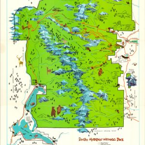
Rocky Mountain National Park
$50.00 Quick View -
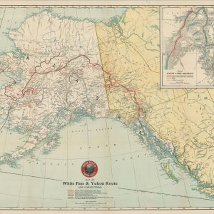
Map of White Pass & Yukon Route and Connections
$175.00 Quick View -
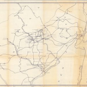
Location of Cement Plants and Routes used to Philadelphia
$95.00 Quick View -
Sold Out
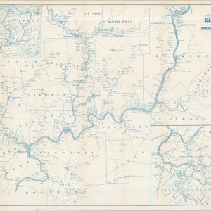
The Oil Regions of Pennsylvania and Western Virginia
Quick View -
Sold Out
Travel Underground into the Heart of the Shopping Centres
Quick View -
Map of Hutchinson, Kansas
$80.00 Quick View -
Summer Resorts of the Coast, Lake, and Mountain Regions along the Boston & Maine Railroad and Connections
$165.00 Quick View -
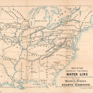
Map of the American Central Water Line and Other Principal Lines of Communication between the Western States and the Atlantic Seaboard
$200.00 Quick View -
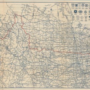
Rand McNally Official Auto Road Map Northwestern United States
$110.00 Quick View -
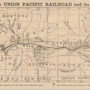
The Union Pacific Railroad from Omaha, Nebraska Across the Continent
$750.00 Quick View -
The Indian and the Northwest
$100.00 Quick View -
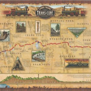
Lionel Trains Presents Trans-Con!
$50.00 Quick View -
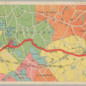
Map of the Brockton & Plymouth Street Railways [with] By Trolley and Inland Alongshore to Plymouth.
$175.00 Quick View -
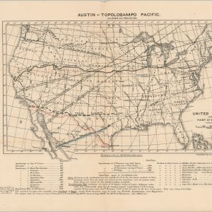
Austin-Topolobampo Pacific
$350.00 Quick View



show blocks helper