
Rand McNally Official Auto Road Map Northwestern United States
$110.00
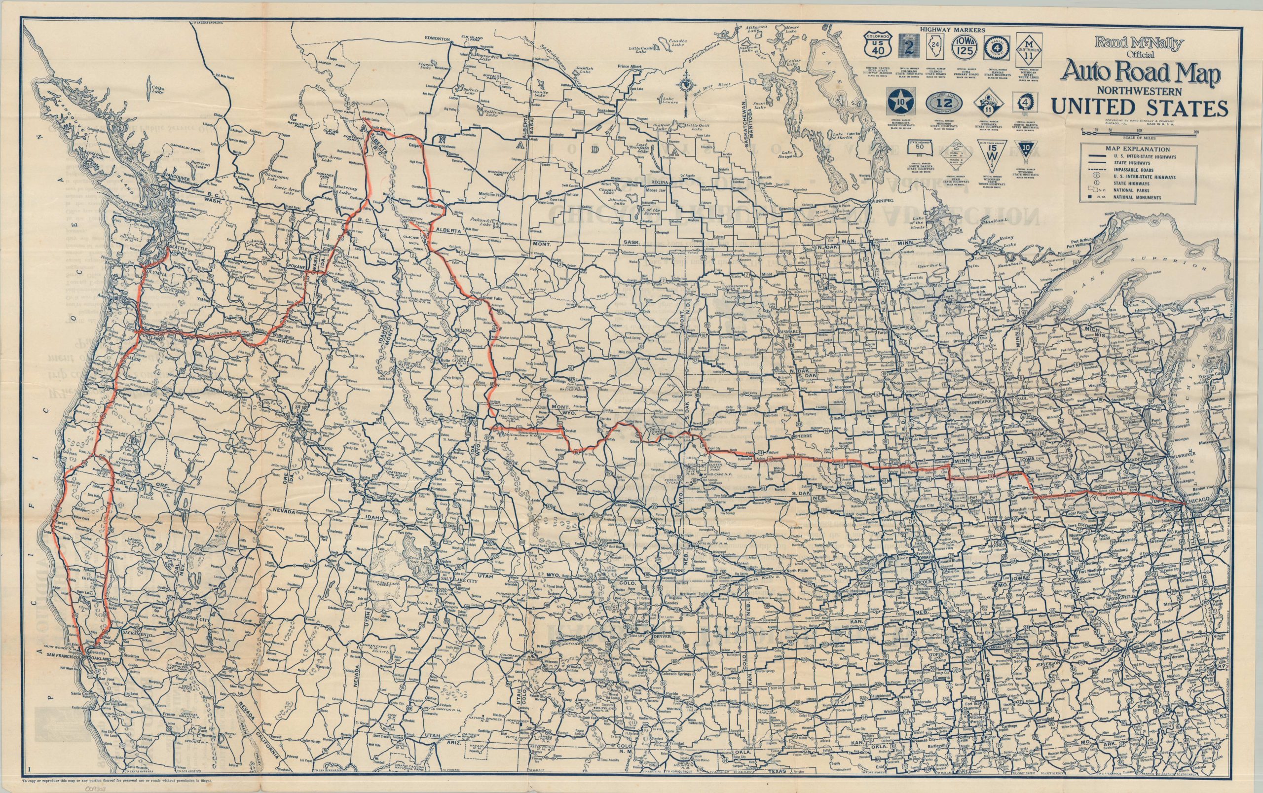
The primary roads between Chicago and the Pacific Northwest during the Roaring 20s.
1 in stock
Description
This interesting road map of the northwestern United States was designed by Rand McNally & Company and issued in 1928 by the Chicago Tribune Public Service Department. Motor tourism was all the rage among the middle and upper classes, and maps such as this were useful elements for advertising to a certain demographic.
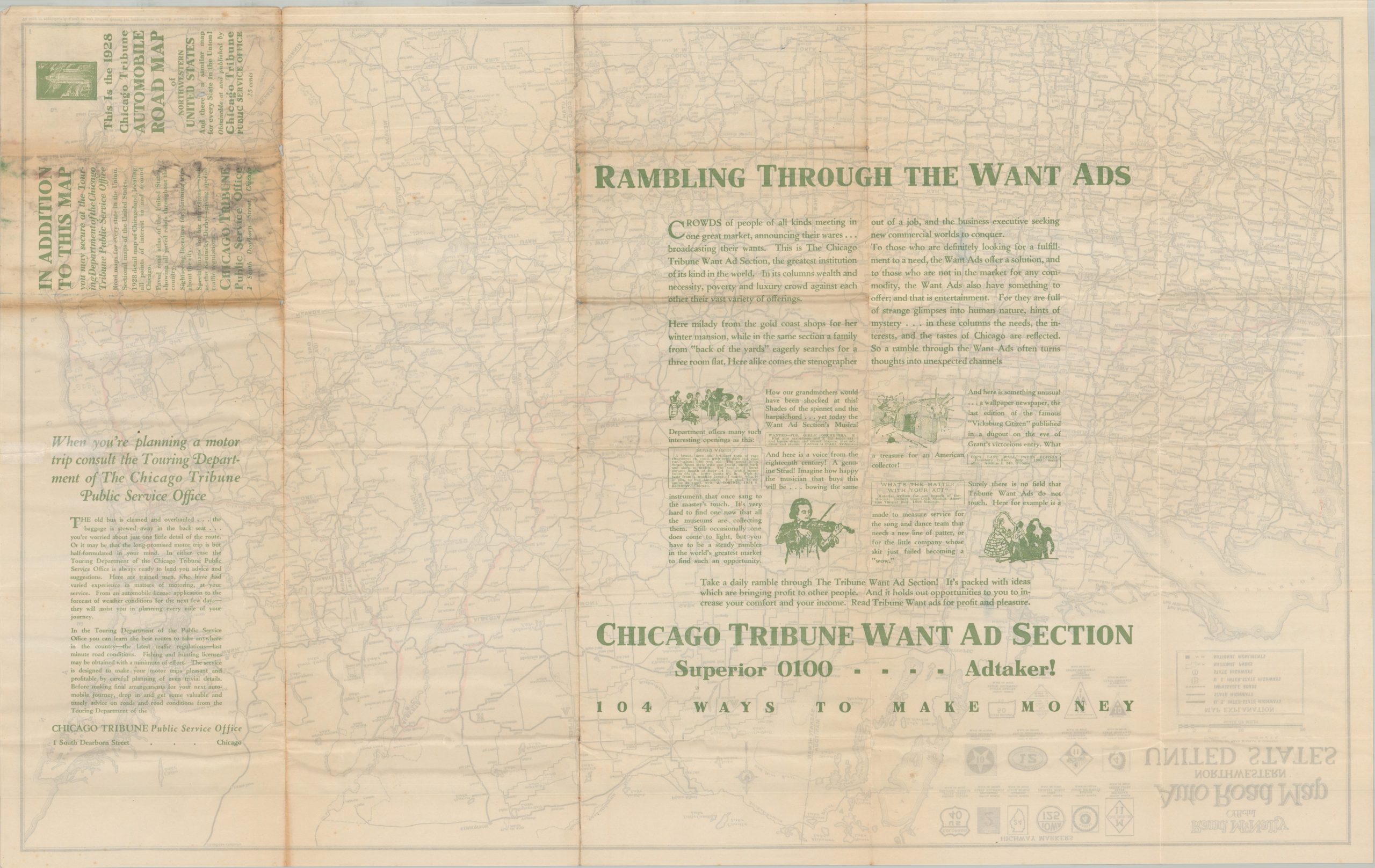
The image outlines the network of National and State Highways, the former having only been introduced two years prior to issue. The markers for the latter, which vary from state to state, are shown in the upper right. National Parks and Monuments, popular travel destinations, are labeled throughout. The verso of the sheet features promotional text for the Chicago Tribune.
Map Details
Publication Date: 1928
Author: Rand McNally & Company
Sheet Width (in): 33.00
Sheet Height (in): 20.75
Condition: B+
Condition Description: Double-sided map sharply creased and moderately toned along original folds. A few repaired splits and an old route marked in red across the image. Light marginal wear. Some further toning on the verso obscures the promotional text. Good condition overall.
$110.00
1 in stock