
American West
Products emphasizing the period of westward migration in the United States.
Showing 1–18 of 407 resultsSorted by latest
-

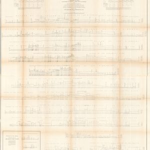
Profiles of the Main Routes Surveyed Compiled in 1855
$145.00 Quick View -
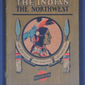
The Indian and the Northwest
$100.00 Quick View -
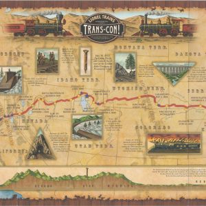
Lionel Trains Presents Trans-Con!
$50.00 Quick View -
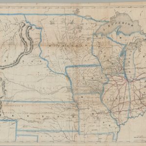
Map of the United States of America Showing the Rail Roads
$150.00 Quick View -
Rand-McNally Map of the Comanche, Kiowa, and Apache Indian Reservations, Oklahoma Territory
$1,200.00 Quick View -
[Set of Native American Educational Posters]
$275.00 Quick View -
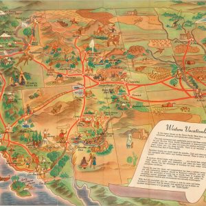
Western Vacationlands
$375.00 Quick View -
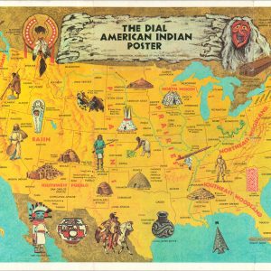
The Dial American Indian Poster Showing Traditional Homelands of Over 100 Tribes
$100.00 Quick View -
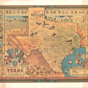
An Historical Map of Texas Beginning with the Spanish Explorations
$350.00 Quick View -
Arizona Territory 1881
$95.00 Quick View -
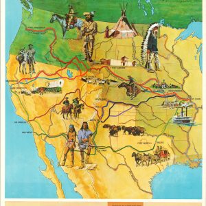
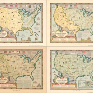
The Growth and Development of America in Maps by Linweave
$600.00 Quick View -
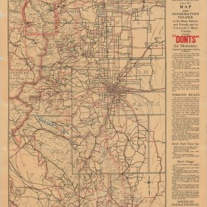
Peak to Peak Motor Tours
$110.00 Quick View -
The Black Hills Region
$135.00 Quick View -
Sold Out
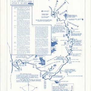
Map of the Pikes Peak Auto Highway
Quick View -
Sold Out
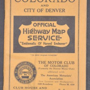
Sectional Map of Colorado and City of Denver
Quick View -
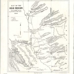
Map of the Gold Region from Actual Survey by Direction of Com. Jones
$900.00 Quick View -
Sold Out
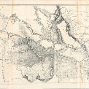
Milk R. to the Crossing of the Columbia R. From Explorations & Surveys Made under the Direction of the Hon. Jefferson Davis, Secretary of War.
Quick View -
Sold Out
A New Map of the Great West
Quick View




show blocks helper