
Profiles of the Main Routes Surveyed Compiled in 1855
$145.00
Examining elevation changes along possible routes for America’s first Transcontinental Railroad.
1 in stock
Description
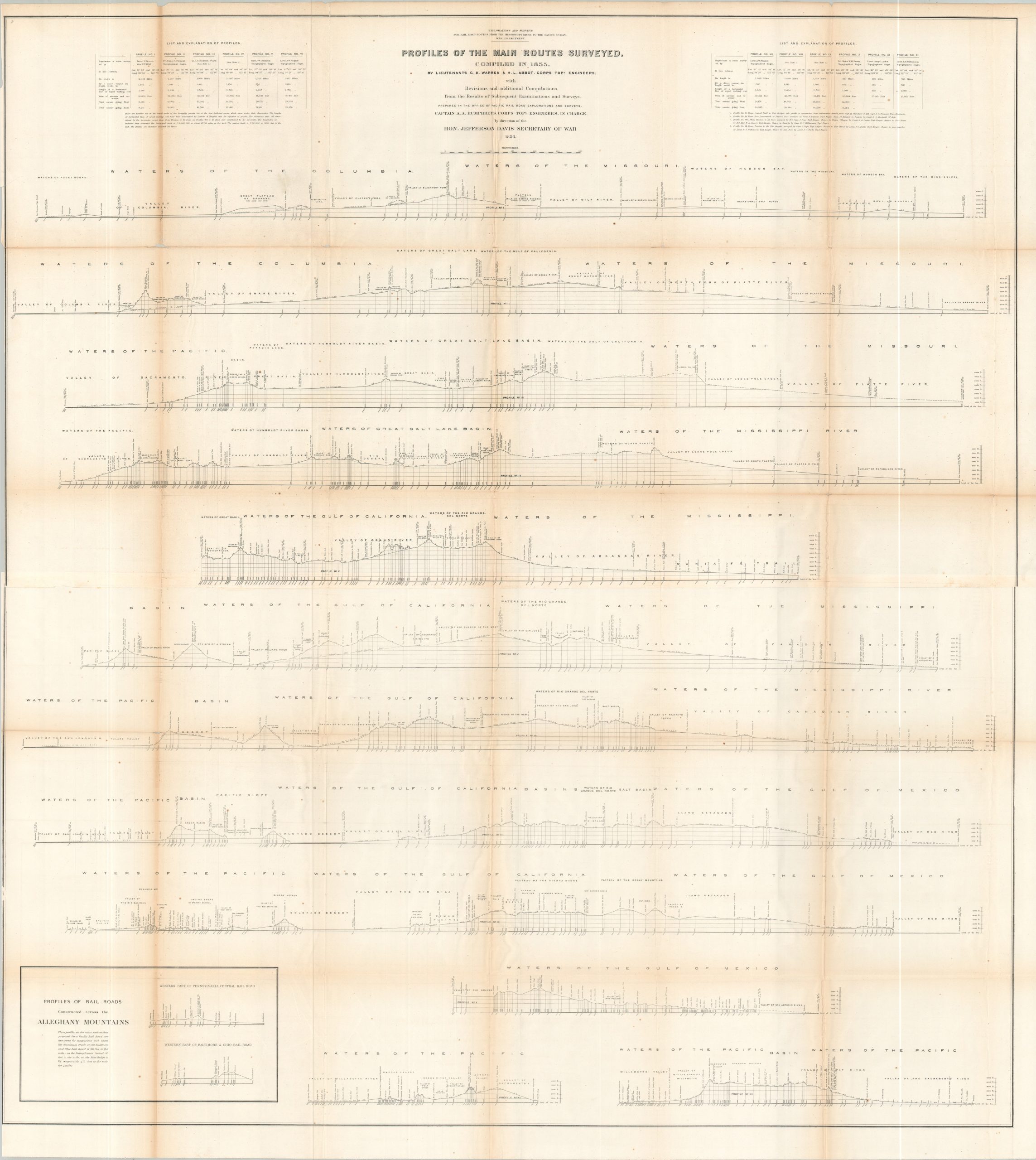
This engaging series of elevation diagrams was compiled by Lieutenants G. K. Warren and H. L. Abbot of the U.S. Army Corps of Topographical Engineers under the supervision of Captain A. A. Humphreys, Engineer in Charge of the Office of Pacific Railroad Explorations and Surveys. The detailed composition profiles various proposed railroad routes documented during the Pacific Railroad Surveys of 1853–1855, authorized by Congress and directed by Secretary of War Jefferson Davis, later made infamous as one of America’s greatest traitors.
Steep grades, major river crossings, difficult terrain, and enormous distances were among the engineering challenges confronting the surveyors as they evaluated possible routes across the American West. An inset at lower left dramatically compares the elevations encountered in the Rocky Mountains with those of railroads already constructed across the Allegheny Mountains, illustrating the formidable obstacles facing the proposed transcontinental routes.
Map Details
Publication Date: 1856
Author: C.K. Warren & H.L. Abbott
Sheet Width (in): 48.75
Sheet Height (in): 53.25
Condition: B
Condition Description: Two large black & white sheets of somewhat brittle paper, jointed along a horizontal seam and folded, as issued. Creasing, toning, and moderate wear along folds, including small holes at the joints, edge splits, and some wrinkling. About good condition overall.
$145.00
1 in stock