Mountains
Showing 1–18 of 142 resultsSorted by latest
-

An Accurate Map of North and South Carolina With Their Indian Frontiers, Shewing in a distinct manner all the Mountains, Rivers, Swamps, Marshes, Bays, Creek, Harbours, Sandbanks and Soundings on the Coast; With the Roads & Indian Paths; as well as The Boundary or Provincial Lines
$15,000.00 Quick View -
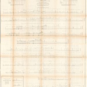
Profiles of the Main Routes Surveyed Compiled in 1855
$145.00 Quick View -
Boston and Maine Railroad Among the Mountains [with] Bird’s-Eye Map of the White Mountains reached by Boston & Maine R.R.
$150.00 Quick View -
“The D&H” Delaware & Hudson Railroad and Connections
$100.00 Quick View -
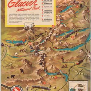
Glacier National Park
$225.00 Quick View -
Boston & Maine Railroad and Connections
$150.00 Quick View -
Map of New Hampshire Ski Trails 1936-7
Quick View -
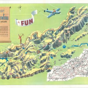
Western North Carolina
$250.00 Quick View -
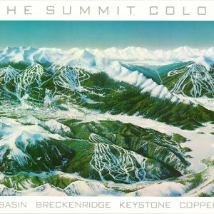
Ski The Summit Colorado Arapahoe Basin Breckenridge Keystone Copper Mountain
Quick View -
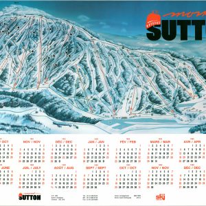
Mont Sutton
$95.00 Quick View -
Map of New Hampshire Ski Trails 1936-7
Quick View -
Cram’s Unrivaled Family Atlas of the World
Quick View -
Mountain and Lake Resorts on the Lackawanna Railroad in Northern New Jersey and Eastern Pennsylvania
$95.00 Quick View -
Across the Mountains on the White Pass & Yukon Route
$250.00 Quick View -
Mount Everest [and] High Himalaya A Computer-Generated Landscape Portrait
$40.00 Quick View -
Bird’s Eye View of the White Mountains
$195.00 Quick View -
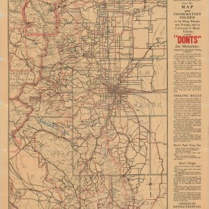
Peak to Peak Motor Tours
$110.00 Quick View -
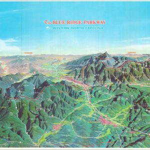
The Blue Ridge Parkway in Western North Carolina
$165.00 Quick View