
Across the Mountains on the White Pass & Yukon Route
$250.00
A portion of the dramatic White Pass & Yukon Route Railway.
1 in stock

Description
This striking illustrated view presents a portion of the historic White Pass & Yukon Route, an isolated narrow-gauge railway linking the port of Skagway, Alaska, to the capital of the Yukon Territory at Whitehorse. The point of entry is shown in the lower right, accessible almost exclusively via steamships on the Lynn Canal. From there, the railway travels north, rising several thousand feet before reaching the summit of White Pass at the International Boundary—one of the last outposts before a long stretch through the wilderness of British Columbia. The pictorial coverage terminates at Bennett in the upper left, though the route of the WP&YR continues beyond.
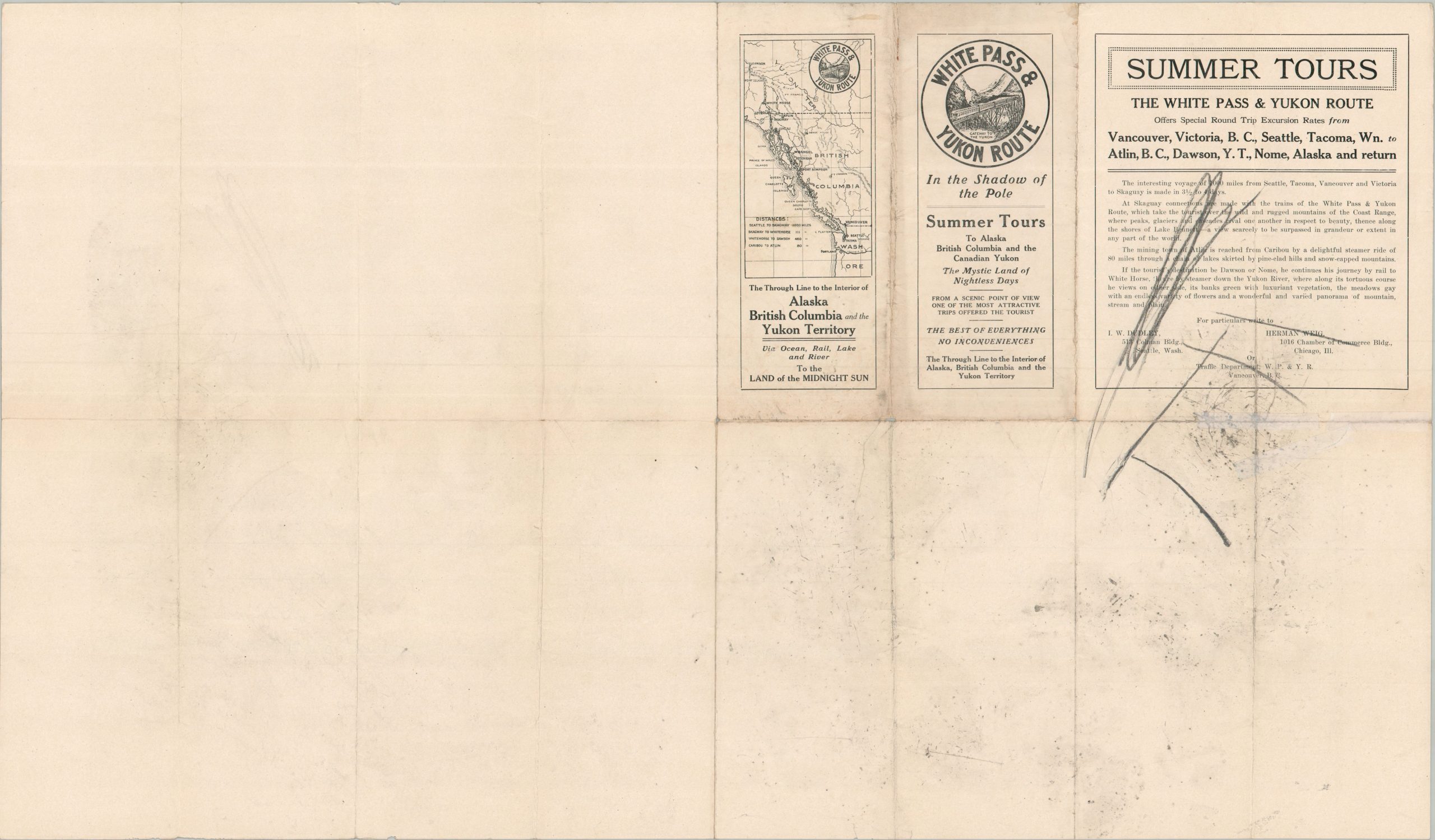
The map offers a dramatic overview of the rugged landscape, with snow-capped peaks, glaciers, and alpine lakes labeled throughout as the line follows a narrow valley. Illustrated details like snow sheds, tunnels, and a massive cantilever bridge highlight the tremendous engineering challenges faced during construction. This view was copyrighted in 1910 by the Kennedy Company and issued by the Passenger Department of the White Pass & Yukon Route in Vancouver, with a small route map and promotional text featured on the verso.
The 110-mile White Pass & Yukon Route was completed in 1900 to capitalize on the Klondike Gold Rush. Engineers overcame incredibly steep grades, formidable mountain terrain, and brutal sub-zero weather to complete one of North America’s most remarkable railways, carrying thousands of miners, heavy freight, and vital supplies into the interior. Following the rush, the railroad remained a crucial transportation corridor for the region, supporting local mining operations and commerce for decades. Despite a brief closure in the 1980s following local mine shutdowns, the line reopened as a heritage railway, and its spectacular scenic excursions continue to be enjoyed by travelers today.
Map Details
Publication Date: c. 1910
Author: The Kennedy Company
Sheet Width (in): 28
Sheet Height (in): 16.6
Condition: B+
Condition Description: Centerfold black and white lithograph with moderate wear along old folds, including two splits (about 2") along the edges repaired on the verso with archival tape. Minor edge wear and some drawing on the verso that does not affect the image. About good condition overall.
$250.00
1 in stock