Water
Maps focused on transportation and shipping by water.
Showing 1–18 of 430 resultsSorted by latest
-
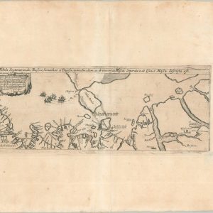
Tabula Septentrionalis Russiae, Samoithiae, et Tingosiae…
Quick View -

Seat of War — Russia and Turkey
$600.00 Quick View -
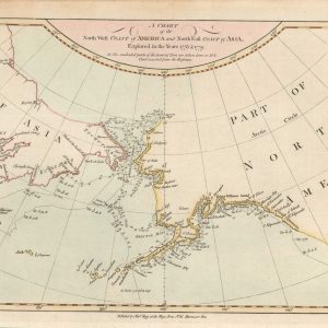
A Chart of the North West Coast of America and North East Coast of Asia, Explored in the Year 1778 & 1779
$195.00 Quick View -

De Zee Custen Van Ruslant, Laplant, Finmarcken, Spitsbergen en Nova Zembla
$1,000.00 Quick View -
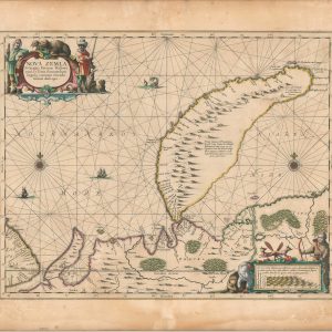
Nova Zembla, Waygats, Fretum Nassovicum et terra Samoiedum singula omnium emendatissime descripta
$550.00 Quick View -

Carte Marine de la Mer Caspiene
$150.00 Quick View -
Coastwise Cruising Guide New York State and Adjacent Canadian Waterways
$95.00 Quick View -
A General Map of the World or Terraqueous Globe with All the New Discoveries and Marginal Delineations, Containing the Most Interesting Particulars in the Solar, Starry, and Mundane System
$5,000.00 Quick View -
The Western Hemisphere
$95.00 Quick View -

Nouvelle Carte Pour Conduire a la Connoissance de la Marine…
$275.00 Quick View -
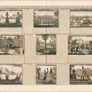
Vue & Description de la Ville de Siam des Pagodes, des Talapoin’s ou Religieux de ce pais, des Balons de Roi & De ses Elephans…
$145.00 Quick View -
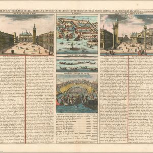
Carte du Gouvernement Militaire de la Republique de Venise l’Etat de ses Revenus, de ses Forces, et les Differentes Vues…
$125.00 Quick View -
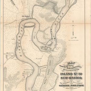
Map Showing the System of Rebel Fortifications on the Mississippi River at Island No. 10 and New Madrid also the Operations of the U.S. Forces under General John Pope Against these Positions.
Quick View -
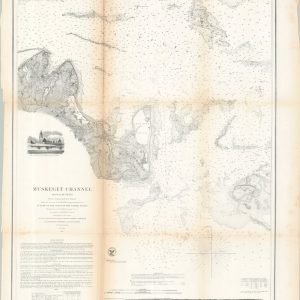
Muskeget Channel Massachusetts
$185.00 Quick View -
Your Key to the Attractions of Fort Lauderdale [Title on Verso]
$250.00 Quick View -
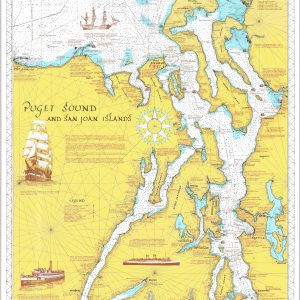
Puget Sound and San Juan Islands
$250.00 Quick View -
McCormick’s Spice Map of the World
$125.00 Quick View -
Birds-Eye View of the Suez Canal Connecting the Red Sea with the Mediterranean
$100.00 Quick View
![Your Key to the Attractions of Fort Lauderdale [Title on Verso]](https://curtiswrightmaps.com/wp-content/uploads/map_19.06x22.71_02-23-26_inv008356-300x300.jpg)