Water
Showing 55–72 of 416 resultsSorted by latest
-
Sale!
 Sold Out
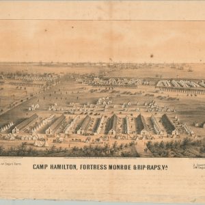
Camp Hamilton, Fortress Monroe & Rip-Raps, VA
Quick View -
Sold Out
[Postcards from the S.S. Eastland Disaster]
Quick View -
Sold Out
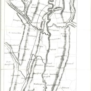
Valley of the Connecticut
Quick View -
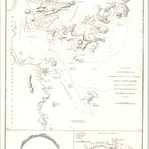
A Chart of the Islands to the Southward of Tchu-san on the Eastern Coast of China
$175.00 Quick View -
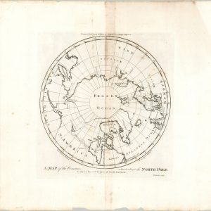
A Map of the Countries situated about the North Pole
$145.00 Quick View -
Rand McNally Standard Map of Central America
$100.00 Quick View -
Spojene Staty Severoamericke Vereinigte Staaten Von Amerika [United States of America]
$425.00 Quick View -
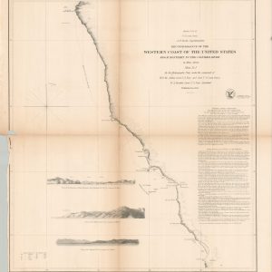
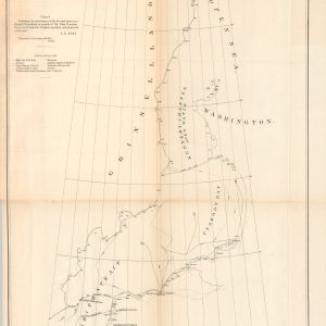
Reconnaissance of the Western Coast of the United States from Monterey to the Columbia River
$125.00 Quick View -
Hendersons Point, Portsmouth, N.H. [Maps and Report]
$150.00 Quick View -
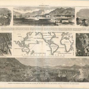
Commercial and Geographical Relation of New York to Europe and Asia, with Views of Hong Kong, Honolulu, Aspinwall, Panama, and on the Pacific Railroad.
$95.00 Quick View -
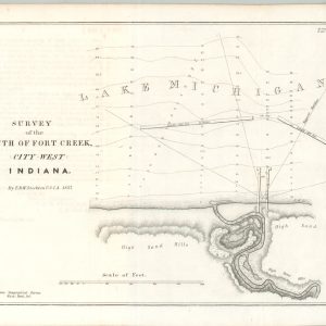
Survey of the Mouth of Fort Creek, City West Indiana
$300.00 Quick View -
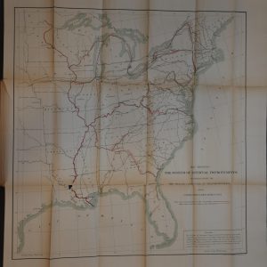
Report of the Select Committee on Transportation Routes to the Seaboard, with Appendix and Evidence
$200.00 Quick View -
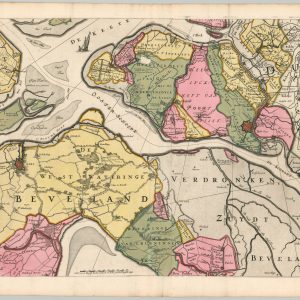
Nieuwe Kaart van de Eilanden Zuid en Noord Beveland Wolfersdyk…
$150.00 Quick View -
Chart Exhibiting the Discoveries of the American Arctic Expedition…
$150.00 Quick View -
Sale!
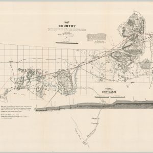
Map of the Country Embraced in the preliminary Survey and Examination of the Peninsula of Florida with a view to the construction of a Ship Canal from the St. Mary’s River to the Gulf of Mexico
$300.00Original price was: $300.00.$225.00Current price is: $225.00. Quick View -
East Indies [and] West Indies Showing Spanish Possessions
$275.00 Quick View -
Chart of the NW Coast of America and NE Coast of Asia Explored in the Years 1778 & 1779
$1,100.00 Quick View -
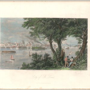
The City of St. Louis
$40.00 Quick View
![[Postcards from the S.S. Eastland Disaster]](https://curtiswrightmaps.com/wp-content/uploads/map_11.94x6.70_06-10-25_inv007165-300x300.jpg)

![Spojene Staty Severoamericke Vereinigte Staaten Von Amerika [United States of America]](https://curtiswrightmaps.com/wp-content/uploads/map_20.21x27.42_06-05-25_inv007140c-300x300.jpg)
![Hendersons Point, Portsmouth, N.H. [Maps and Report]](https://curtiswrightmaps.com/wp-content/uploads/map_28.94x26.92_06-04-25_inv007126c-300x300.jpg)
![East Indies [and] West Indies Showing Spanish Possessions](https://curtiswrightmaps.com/wp-content/uploads/map_19.25x24.56_06-04-25_inv007037c-300x300.jpg)

show blocks helper