Water
Maps focused on transportation and shipping by water.
Showing 1–18 of 270 results
-

Port and Terminal Facilities at the U.S. Ports on Lake Michigan
$475.00 Quick View -

Rest Camp bound from Iwo way
$1,200.00 Quick View -

Okinawa Shima (Southern Part)
$750.00 Quick View -

Shimonoseki Kaikyo to Kusayama Zaki
$195.00 Quick View -
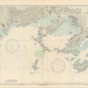
Tokuyama Wan and Approaches
$225.00 Quick View -

Tokyo and Yokohama Districts
$225.00 Quick View -

Mongrel Convoy
$275.00 Quick View -

The Rhine
$150.00 Quick View -

Buzzards Bay
$325.00 Quick View -

House Documents Vol. 87
$250.00 Quick View -

Carte Reduite de L’Isle D’Antigue [Island of Antigua]
$475.00 Quick View -

Le Port vieux de Toulon [France]
$275.00 Quick View -

The Navy League Map
$5,000.00 Quick View -
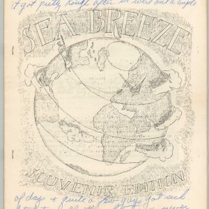
Sea Breeze Souvenir Edition
$125.00 Quick View -

Nouvelle Carte Pour Conduire a la Connoissance de la Marine…
$795.00 Quick View -
 Sold Out
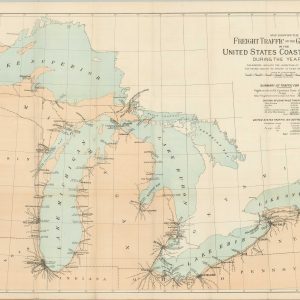
Map Showing the Freight Traffic on the Great Lakes in the United States Coastwise Trade During the Year 1890 [with report]
Quick View -

The Wool Districts Map of the Commonwealth of Australia
$450.00 Quick View -

Coffee Map of the Republic of Colombia
$350.00 Quick View
show blocks helper