Water
Showing 91–108 of 422 resultsSorted by latest
-

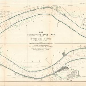
Survey of Connecticut River Between Hartford, Conn., and Holyoke, Mass.
$125.00 Quick View -
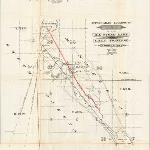
Approximate Location of Canal Between Big Stone Lake and Lake Traverse Minnesota
$125.00 Quick View -
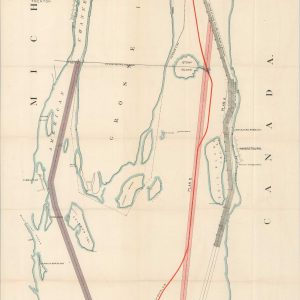
General Map of the Lower Reach of Saginaw River, Mich. [and] General Map of the Upper Reach of Saginaw River, Mich.
$110.00 Quick View -
Detroit River Skeleton Map to Illustrate Report and Estimate for 21 Ft. Channel
$95.00 Quick View -
Great Falls of the Potomac and Vicinity 1894
$110.00 Quick View -
Map of the Swan Island Caribbean Sea [with Report]
$125.00 Quick View -
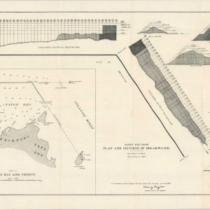
Sandy Bay, Mass Plan and Sections of Breakwater
$95.00 Quick View -
Sold Out
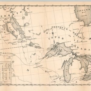
Northern Region Between the Atlantic and Pacific Showing the Chain of Lakes &c.
Quick View -
Sold Out
The New England Coast in Maps and Stories
Quick View -
Sold Out
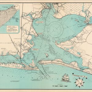
Galveston
Quick View -
Sold Out
Lock Canal Project Map Showing Line of Proposed Lock Canal with Summit Elevation at 85 Feet [Panama Canal]
Quick View -
Alluvial Valley of the Mississippi River Southern Sheet – New Orleans District
$295.00 Quick View -
Facsimile of the Autograph Map of the Mississippi or Conception River drawn by Father Marquette…
$145.00 Quick View -
Sold Out
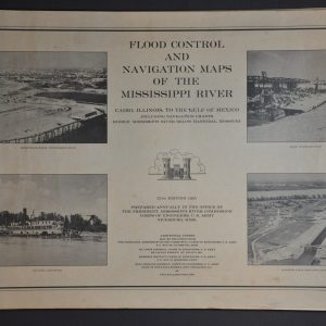
Flood Control and Navigation Maps of the Mississippi River Cairo, Illinois to the Gulf of Mexico
Quick View -
Coast Chart No. 107 Matagorda Bay Texas
$95.00 Quick View -
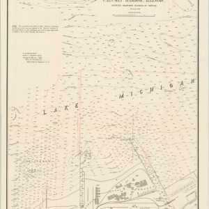
Map of Calumet Harbor, Illinois Showing Proposed Harbor of Refuge
$45.00 Quick View -
“Traced From” Plan & Profile of Canal from Lick Creek to Dam Plan from Old Map Field Sketch by D. Laudermilk
$125.00 Quick View -
[Ordnance Survey Map of London and the Thames River]
$200.00 Quick View
![General Map of the Lower Reach of Saginaw River, Mich. [and] General Map of the Upper Reach of Saginaw River, Mich.](https://curtiswrightmaps.com/wp-content/uploads/map_20.58x38.34_05-07-25_inv006955c-300x300.jpg)

![Map of the Swan Island Caribbean Sea [with Report]](https://curtiswrightmaps.com/wp-content/uploads/map_18.53x20.97_05-07-25_inv006952.1c-300x300.jpg)
![Lock Canal Project Map Showing Line of Proposed Lock Canal with Summit Elevation at 85 Feet [Panama Canal]](https://curtiswrightmaps.com/wp-content/uploads/map_32.31x50.59_05-07-25_inv006916c-300x300.jpg)


![[Ordnance Survey Map of London and the Thames River]](https://curtiswrightmaps.com/wp-content/uploads/map_29.15x37.78_05-08-25_inv006848c-300x300.jpg)
show blocks helper