
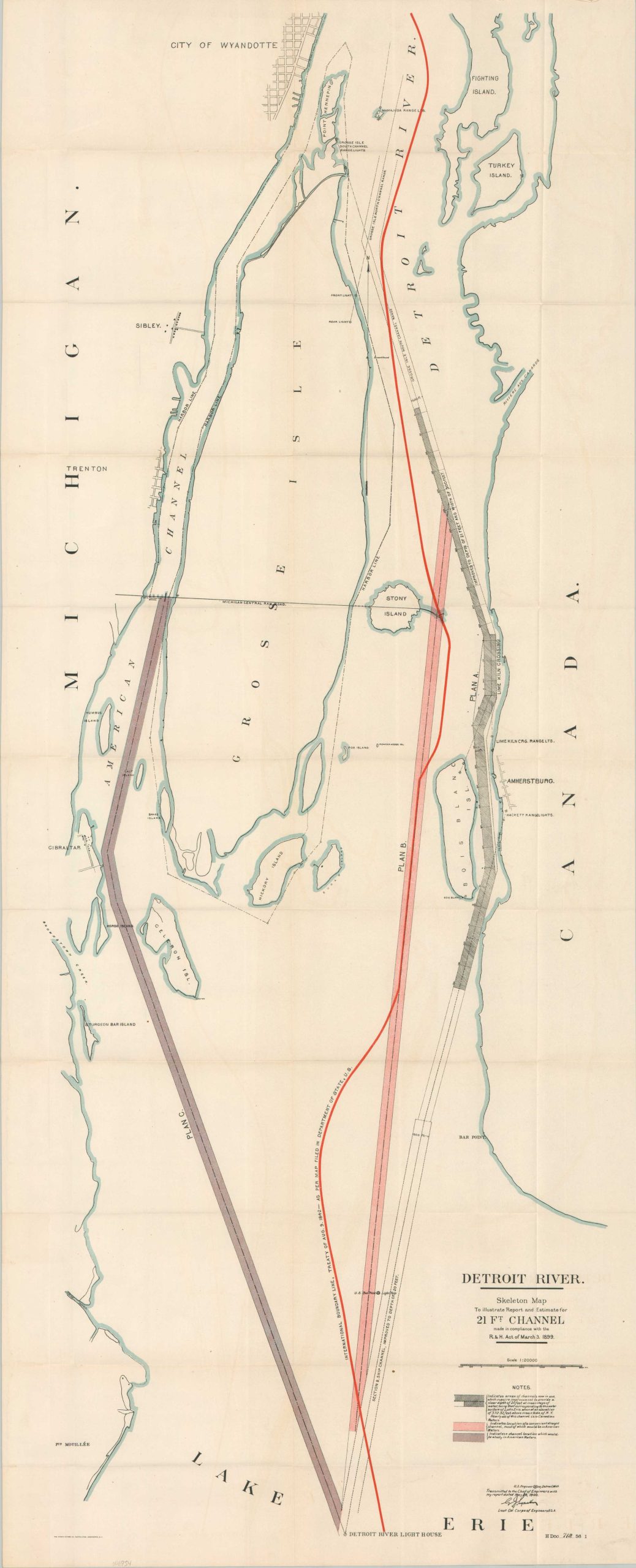
Detroit River Skeleton Map to Illustrate Report and Estimate for 21 Ft. Channel
$95.00
Improving navigation along the Detroit River in the early 20th century.
1 in stock
Description
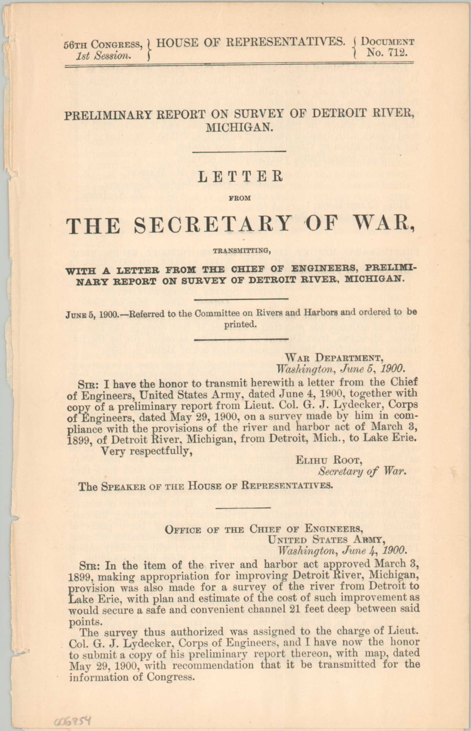
This interesting folding map presents three proposals for a 21 ft. shipping channel to navigate the Detroit River into Lake Erie. Plan A, nearly entirely in Canadian waters, incorporates existing channels then in operation. Plan B, a conveniently straight path, is mostly in American waters. Plan C, a circuitous route around Gross Isle, is entirely within the territorial jurisdiction of the U.S. The plan is accompanied by four pages of text, including a written report by G.J. Lydecker of the Army Corps of Engineers.
Published by the Government Printing Office in 1901 as part of a Congressional reference volume. The River and Harbor Act of 1902 would ultimately select a modified version of Plan A (per Lydecker’s recommendation), resulting in the eventual completion of the Amherstburg channel.
Map Details
Publication Date: 1901
Author: G.J. Lydecker
Sheet Width (in): 18.5
Sheet Height (in): 45.75
Condition: A-
Condition Description: Large folding map and two pages of text extracted from a broken Congressional report. Map is sharply creased and shows faint transference from the printed color. Ragged binding edge, but overall in very good condition.
$95.00
1 in stock