U.S. Midwest
States west of Pennsylvania and north of Kentucky, including the Dakotas, Nebraska and Kansas.
Showing 1–18 of 1692 resultsSorted by latest
-

Scarborough’s Road Map and Motor Guide of Indiana
$225.00 Quick View -
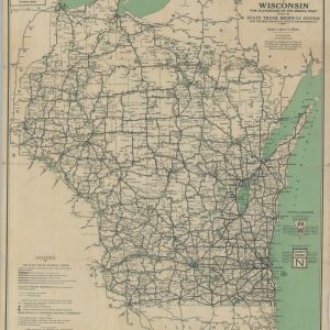
Official Highway Map of Wisconsin
$75.00 Quick View -
1936 Highway Map of the State of Wyoming
$60.00 Quick View -

Clason’s Midget Map of Indiana
$80.00 Quick View -
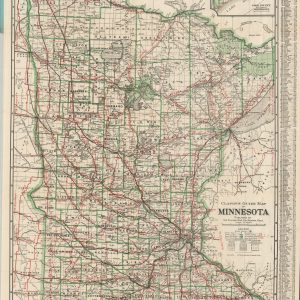
Clason’s Guide Map of Minnesota
$125.00 Quick View -
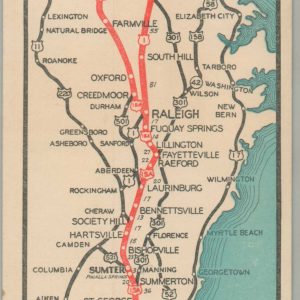
The Short Highway North-South
$60.00 Quick View -
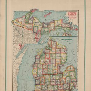
Premier Series Map of Michigan
$245.00 Quick View -
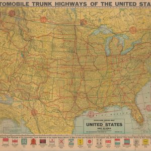
Automobile Trunk Highways of the United States
$500.00 Quick View -
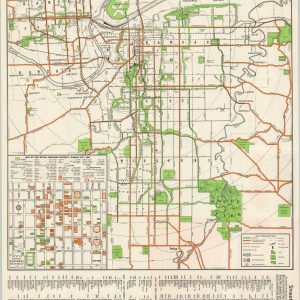
Map of Greater Kansas City “The Heart of America”
$95.00 Quick View -
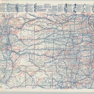
Rand McNally Official 1921 Auto Trails Map District No 12
$225.00 Quick View -
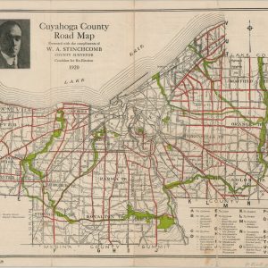
Cuyahoga County Road Map
$110.00 Quick View -

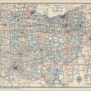
Highway Maps of Ohio
$450.00 Quick View -

Automobile Road Map of Michigan Showing Condition of State Trunk Line System in the Lower Peninsula and the Improved Connecting County Roads
$315.00 Quick View -
Rand McNally Junior Auto Road Map of Ohio
$95.00 Quick View -
Rand McNally Junior Auto Road Map of South Dakota
$95.00 Quick View -
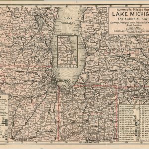
Automobile Mileage Map of Lake Michigan and Adjoining States
$300.00 Quick View -
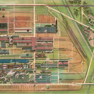
The Ford Rotunda Showplace of the Automotive Industry
$85.00 Quick View -
Sold Out
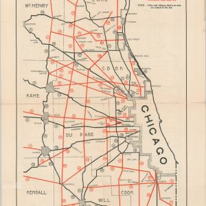
State of Illinois Division of Highways State Bond Issue Road System
Quick View


show blocks helper