
Official Highway Map of Wisconsin
$75.00
“It’s harder to get lost in Wisconsin than to find the way in many states.”
1 in stock
Description
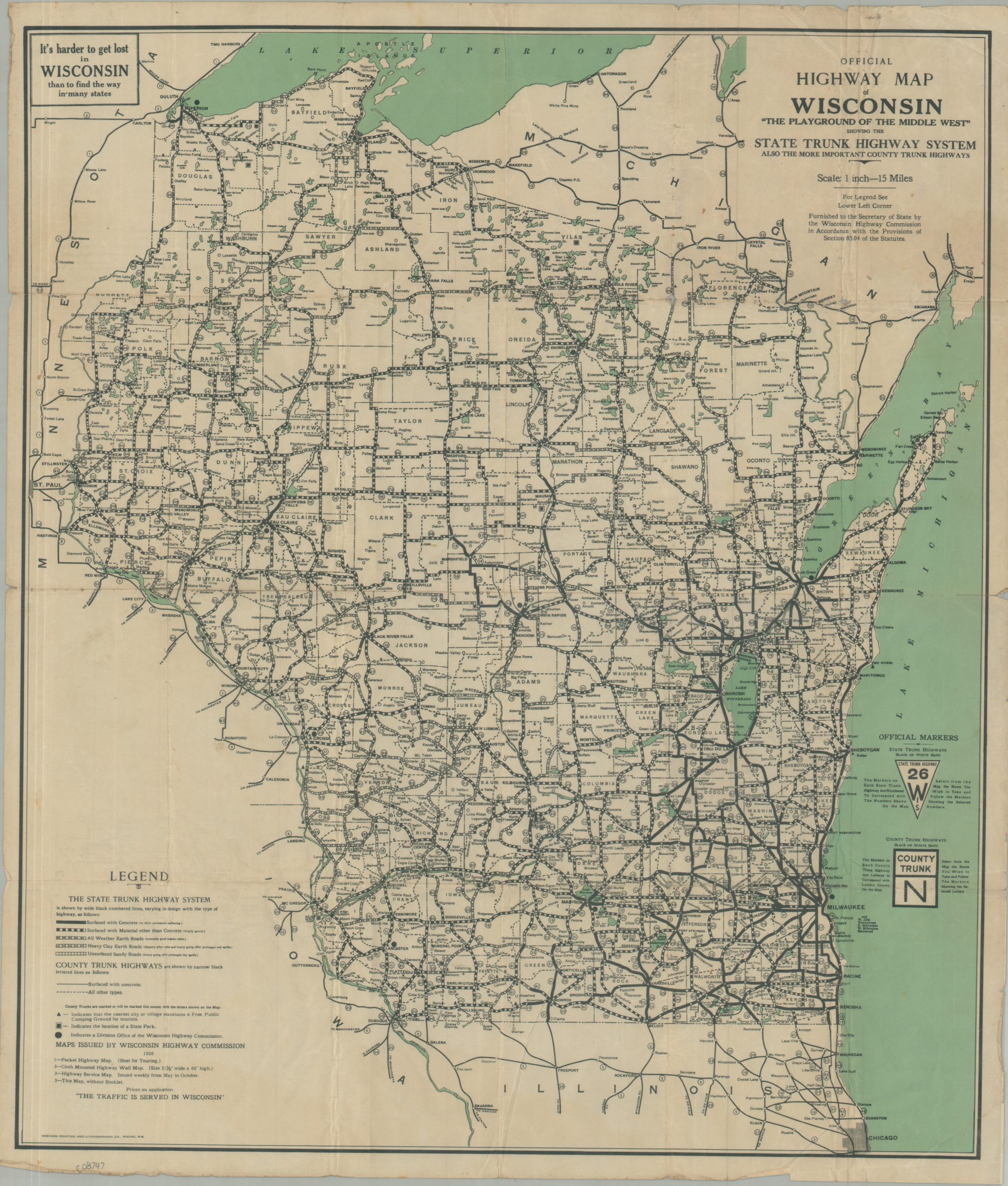
This informative road map of Wisconsin was published in 1926 by the Wisconsin Highway Commission, with printing performed by the Western Printing and Lithographing Company of Racine. The image captures the growing system of numbered State and County Trunk Highways that were first introduced in 1917 (Wisconsin was the first state to do so). For the former, a series of five different lines provides details on the seasonal surface conditions, which ranged from paved (good year-round) to sandy dirt roads (rough going in drought). The county trunk highways, Paved and Other, are shown in much smaller solid and hashed lines, respectively. Free public campgrounds are marked with small triangles, while State Parks are marked with squares. A convenient motorist’s guide to ‘The Playground of the Middle West.’
Map Details
Publication Date: 1926
Author: Wisconsin Highway Commission
Sheet Width (in): 21.00
Sheet Height (in): 24.25
Condition: B
Condition Description: Color printed map on a single sided sheet of thin paper, heavily creased and worn along old folds and in the margins. Some extraneous wrinkling and scattered soiling. About good condition overall.
$75.00
1 in stock