World's Fairs
Maps and ephemera related to World’s Fairs, expositions, and other international events from the 19th and 20th centuries.
Showing 1–18 of 217 resultsSorted by latest
-

The Ford Rotunda Showplace of the Automotive Industry
$85.00 Quick View -
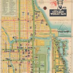
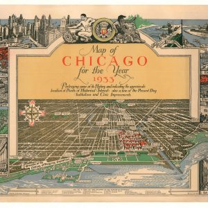
A Map of Chicago for the Year 1933
Quick View -
Exposition Universelle Paris 1878
$200.00 Quick View -
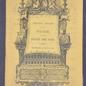
Crystal Palace Guide to the Palace and Park
$145.00 Quick View -
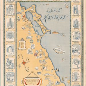
San Francisco and Vicinity issued by the Southern Pacific
$500.00 Quick View -
[Chicago’s Coming Factory Suburb – Columbian Exposition Promotion for Griffith, Indiana]
$900.00 Quick View -
[Century of Progress Commemorative Bronze Medal]
$75.00 Quick View -
Greyhound is Best…to see the West!
$95.00 Quick View -
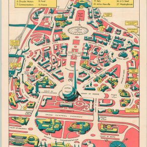
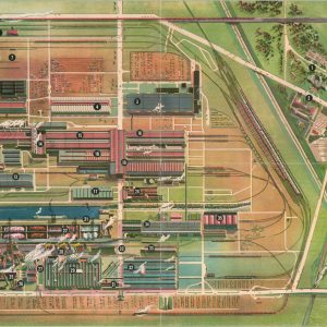
Chart of the Exposition of nineteen hundred and thirty three at Chicago
$950.00 Quick View -
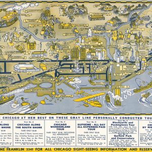
Seeing Chicago The Gray Line
Quick View -
Illustrated Map of Chicago and the Century of Progress Exposition
Quick View -
The Chamber of Commerce Handbook for San Francisco
$125.00 Quick View -
Tennessee Visitor Guide
$50.00 Quick View -
For Your Convenience, A Map of the New York 1940 World’s Fair
$30.00 Quick View -
Gulf Refining Co. 1933 Official Road Map Through Roads to the World’s Fair
$60.00 Quick View -
Official Souvenir HemisFair 1968 Map
$50.00 Quick View -
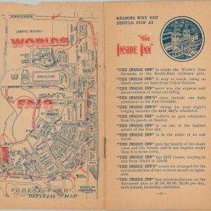
How to Secure accommodations at the “Inside Inn” – The Only Hotel within the Ground of the World’s Fair St. Louis U.S.A. 1904
Quick View -
Chicago
$150.00 Quick View


![[Chicago's Coming Factory Suburb - Columbian Exposition Promotion for Griffith, Indiana]](https://curtiswrightmaps.com/wp-content/uploads/map_21.05x29.19_02-17-26_inv008238c-300x300.jpg)
![[Century of Progress Commemorative Bronze Medal]](https://curtiswrightmaps.com/wp-content/uploads/DSC_2688-300x300.jpg)