
Seeing Chicago The Gray Line
See Chicago at Her Best on These Gray Line Personally Conducted Tours
Out of stock

Description
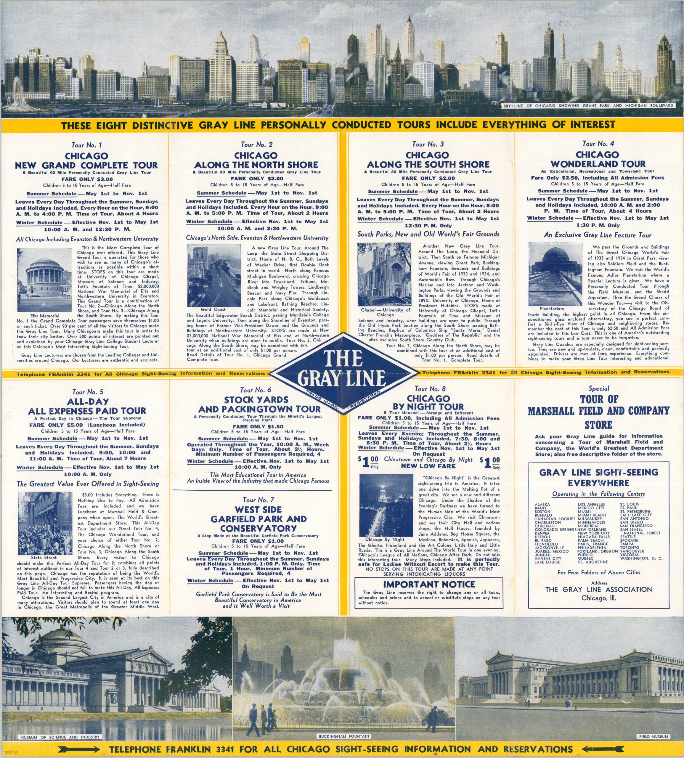
This charming abstract map of Chicago was published around 1933 by The Gray Line, a nationwide tour bus operator. Only those routes on which Gray Line tours are given are shown within the image, sacrificing geographic accuracy and overall utility in favor of a heavily stylized, Depression-era view of the Windy City. Amusing vignettes showcase many of Chicago’s most notable attractions, from the Union Stockyards to Lincoln Park. Less attractive areas include the Ghetto and Hoboland, both west of the river.
An outdated Michigan Boulevard (with Boulevard Link Bridge), the ‘Rosenwald Art Museum’ (MSI) and the misplaced State Street Shopping District reflect somewhat odd elements – perhaps the mapmaker was not intimately familiar with the city. Elsewhere in the brochure, several different Gray Line tours are promoted with brief descriptions, rate information, and photographs. Of interest is the Chicago by Night Tour, “the Greatest sightseeing trip in America.”
Undated, but includes the Century of Progress Exposition Grounds along the lakefront. Issued by the Gray Line Sightseeing Company of Chicago as a promotion for the Stevens Hotel.
Map Details
Publication Date: c. 1933
Author: The Gray Line
Sheet Width (in): 15.75
Sheet Height (in): 9
Condition: A
Condition Description: Color printed map occupying half of one side of a folding pictorial brochure. Creased along folds and faint wear, consistent with age. Near fine condition overall.
Out of stock