U.S. Southwest
Southern states from Texas and Oklahoma to Arizona.
Showing 1–18 of 365 resultsSorted by latest
-
1941 Spring Edition Texas Highway Map
$50.00 Quick View -
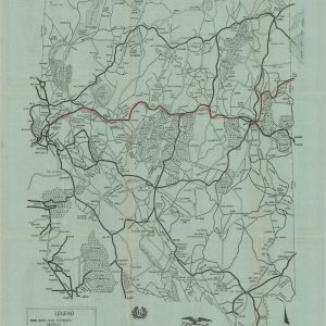
The Blue Ridge Parkway in Western North Carolina
$165.00 Quick View -

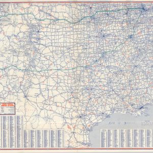
East Texas – Oklahoma with New Mexico – West Texas
$60.00 Quick View -
Official United States Tourist Service Map of Idaho – Utah
$95.00 Quick View -

Denver Colorado and Vicinity
$150.00 Quick View -
Rand McNally Official 1922 Auto Trails Map District No 12
$225.00 Quick View -
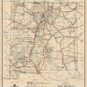
Official Road Map of New Mexico
$75.00 Quick View -
Goodrich Road Map of Nevada
$110.00 Quick View -
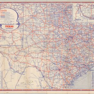
Texas
$75.00 Quick View -

Chicago Tribune Automobile Road Map of the Southwestern United States
$80.00 Quick View -
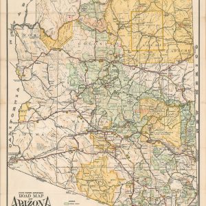
State Highway Department Road Map of Arizona
Quick View -
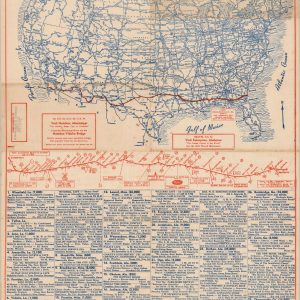
U.S. Highway Map – Featuring Route 84
$95.00 Quick View -
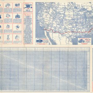
Travel U.S. Highways 29 & 80 Your All Weather Route
$95.00 Quick View -
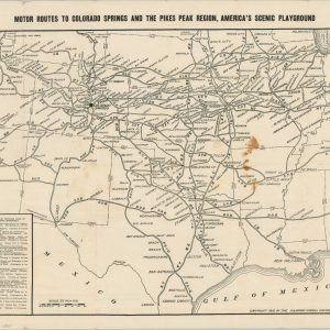
Motor Routes to Colorado Springs and the Pikes Peak Region, America’s Scenic Playground
$200.00 Quick View -
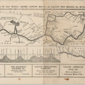
Safest, Shortest and Best Route – The Santa Fe Old Trails – Grand Canyon Route – via Gallup, New Mexico
$225.00 Quick View -
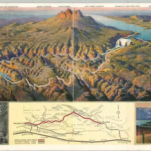
Apache Trail of Arizona
$210.00 Quick View -
Texas [and] Map of the Californias by T.J. Farnham.
$475.00 Quick View -
New! Direct-To-Retailer Map Distribution Plan
$75.00 Quick View
![Texas [and] Map of the Californias by T.J. Farnham.](https://curtiswrightmaps.com/wp-content/uploads/Inv7373-300x300.jpg)