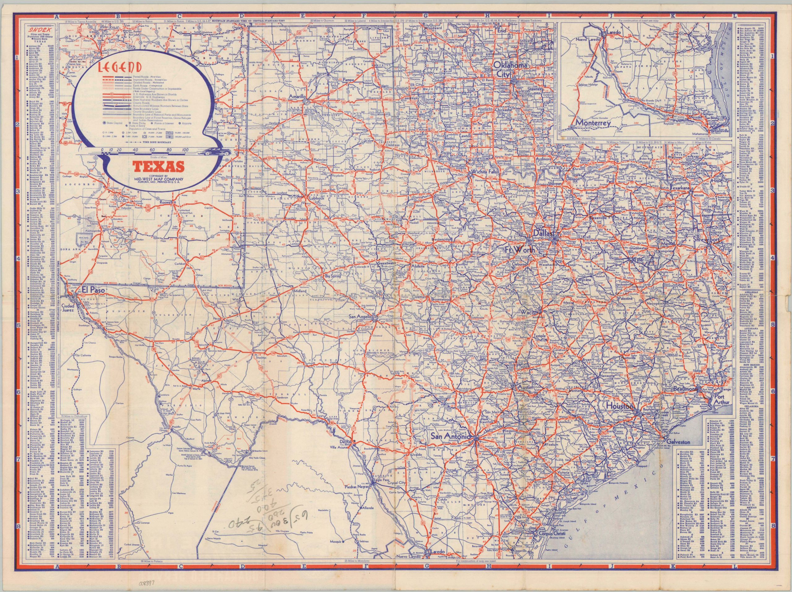
Texas
$75.00
Postwar road map of the Lonestar State.
1 in stock
Description
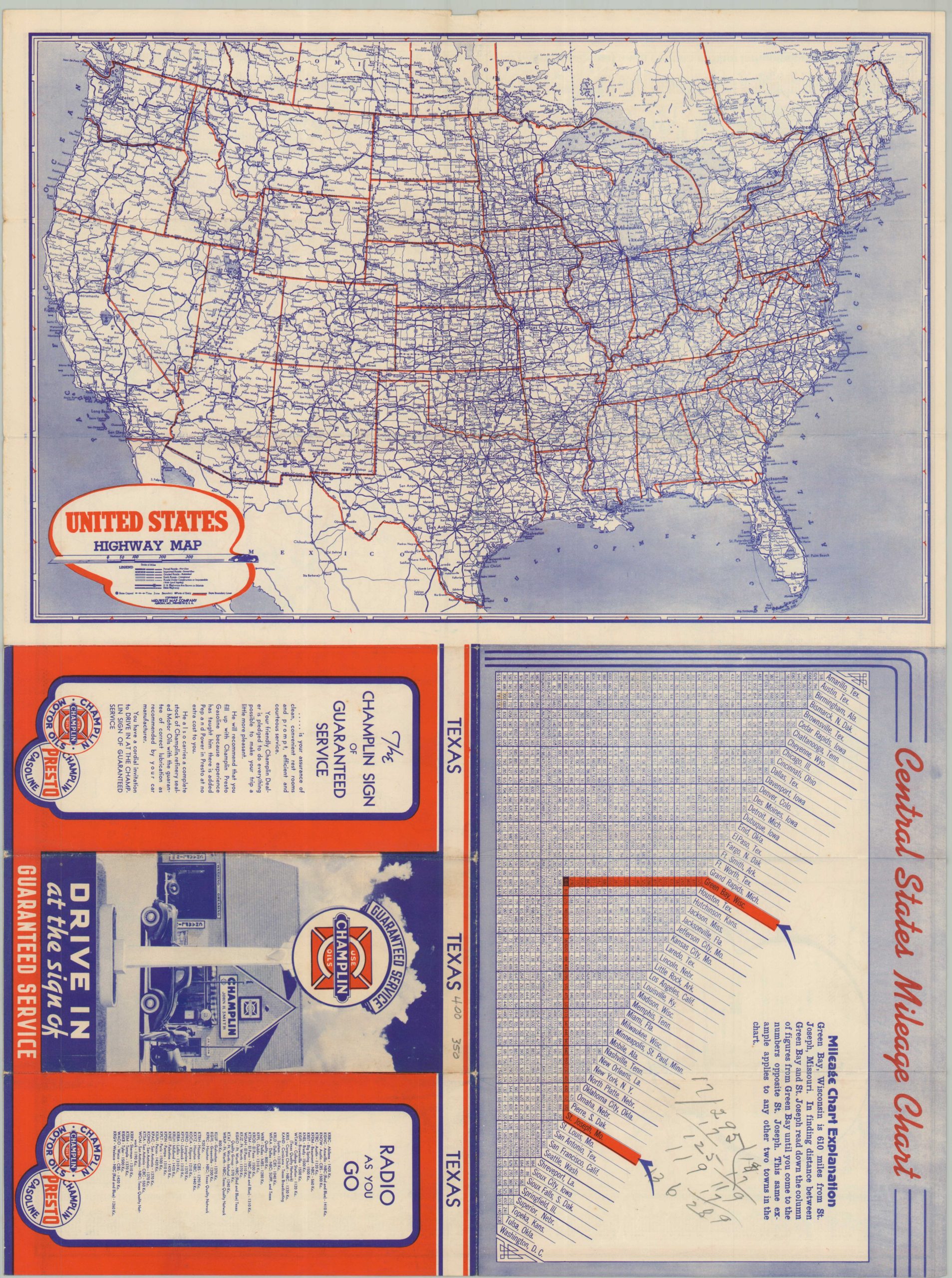
This informative highway map of the United States was published around 1948 by the Mid-West Map Company of Aurora, Missouri. U.S. and State Highways are shown with red and blue lines, respectively, while the different styles reflect variations in road surfaces (ranging from paved to unimproved dirt). State parks, forest reserves, airports, and other points of interest are noted throughout. A mileage chart of the Central United States and a highway map of continental America are provided on the verso. Distributed to promote Champlin gasoline and motor oils.
Map Details
Publication Date: c. 1948
Author: Mid-West Map Company
Sheet Width (in): 21.75
Sheet Height (in): 16.50
Condition: B+
Condition Description: Double-sided road map with moderate wear, toning and some small spots of separation along original folds. Light foxing and scattered penciled math throughout. About good condition overall.
$75.00
1 in stock