Rails
Maps showing rail lines for freight and passenger use.
Showing 1–18 of 773 resultsSorted by latest
-

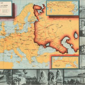
Intourist Map of the Soviet Union and Europe
$125.00 Quick View -
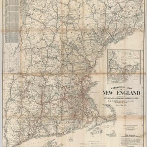
Automobile Map of New England Accompanying Interstate Automobile Tourist’s Guide
$295.00 Quick View -
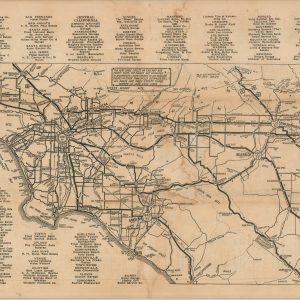
The Nutshell Motor Map of Southern California
$80.00 Quick View -
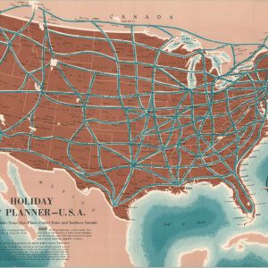
Holiday Trip Planner – U.S.A.
$95.00 Quick View -
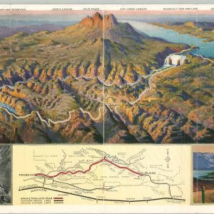
Apache Trail of Arizona
$210.00 Quick View -
Thresher’s Souvenir Map of St. Paul, Ramsey Co. Minn. 1887-78
$295.00 Quick View -
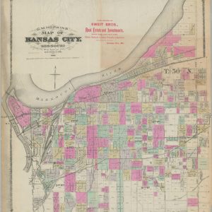
G.M. Hopkins’ Map of Kansas City, Missouri
$1,350.00 Quick View -
Sold Out
The Baltimore & Ohio System Map of the Baltimore & Ohio Chicago Terminal Railroad and Its Connections
Quick View -
Sold Out
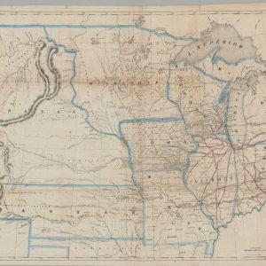
A New Map of the Great West
Quick View -
Memorial to the Government of the United States from the Citizens of Chicago, Ill. Setting forth the Advantages of the City as a Site for a National Armory and Foundry
$275.00 Quick View -
Map of Rolling Mill Mine, Showing the Locomotive Tunnel
$110.00 Quick View -
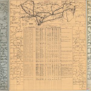
Buckeye Region Detour Chart
$500.00 Quick View -
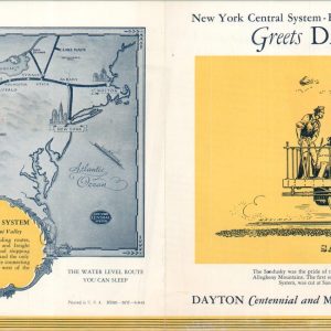
The New York Central System A Railroad of the Dayton and Miami Valley
$40.00 Quick View -
The Kanawha and Michigan Ry Plan Showing Yard Layout of Dickinson, West Virginia
$875.00 Quick View -
San Francisco and Vicinity issued by the Southern Pacific
$500.00 Quick View -
[Reference Maps of the International Correspondence School]
$350.00 Quick View -
Sold Out
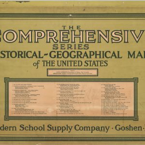
The Comprehensive Series of Historical-Geographical Maps of the United States
Quick View -
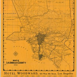
Map of Los Angeles County
$350.00 Quick View


![[Reference Maps of the International Correspondence School]](https://curtiswrightmaps.com/wp-content/uploads/map_23.37x27.15_02-17-26_inv008214c-300x300.jpg)
show blocks helper