
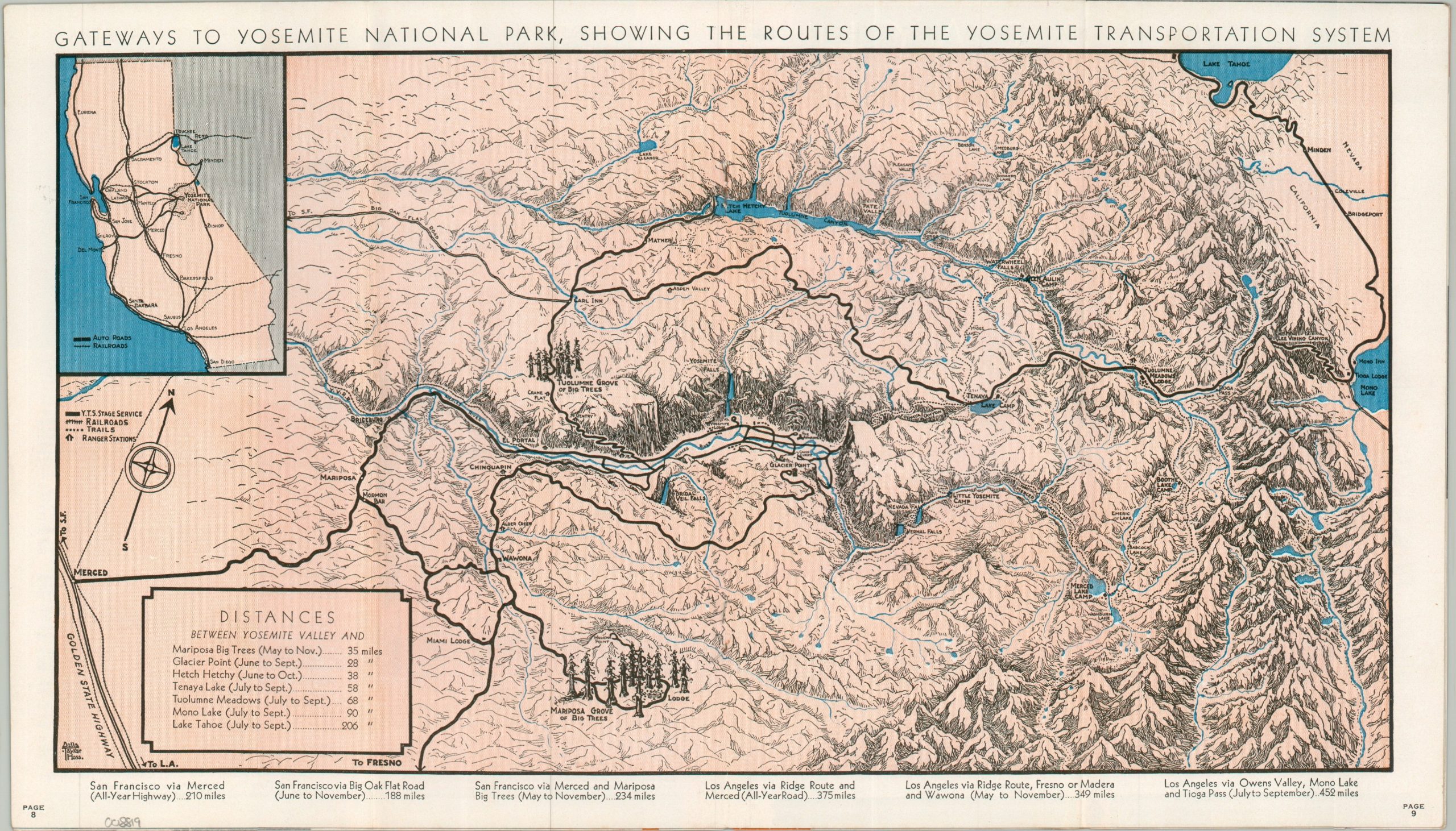
Gateways to Yosemite National Park, Showing the Routes of the Yosemite Transportation System
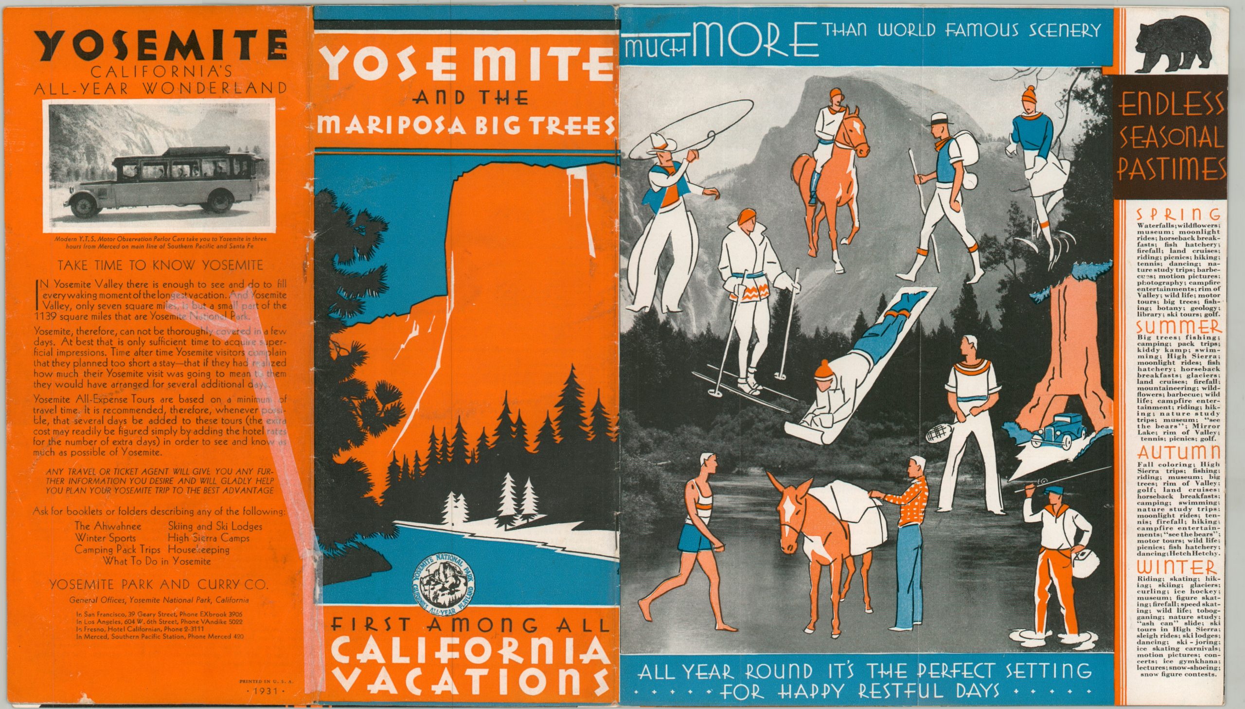
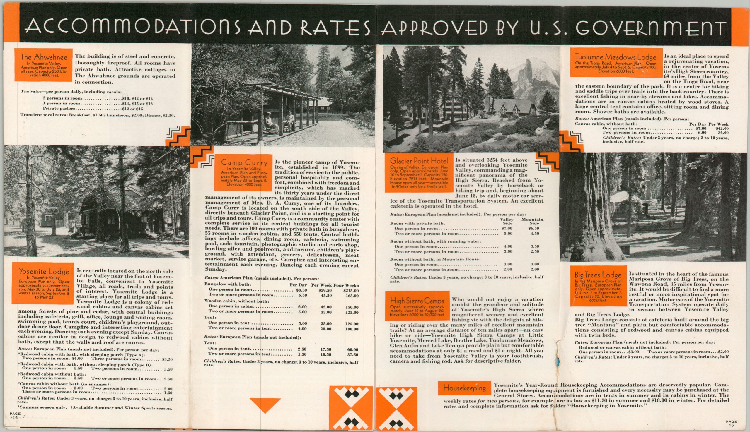
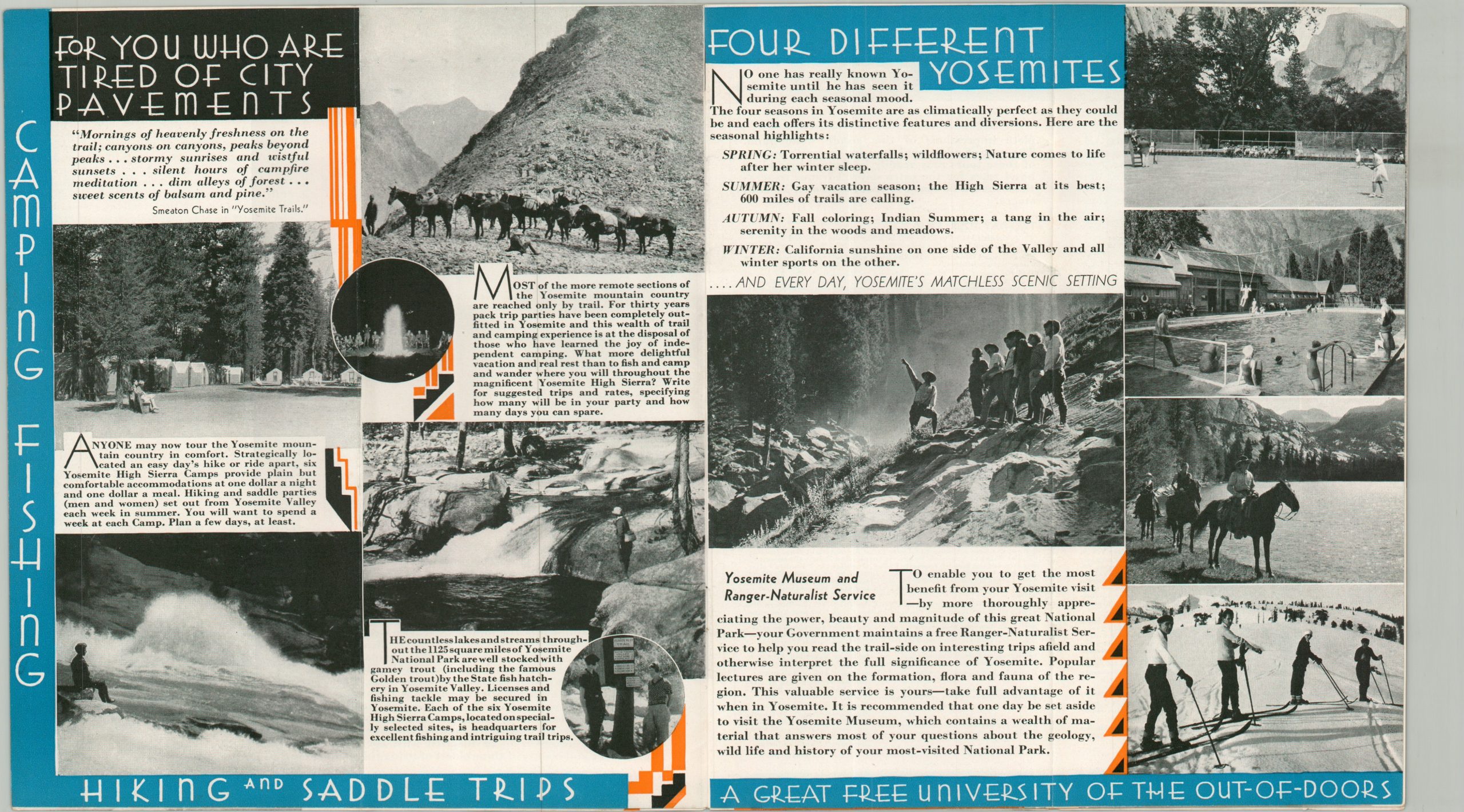
An inviting guide to Yosemite from the early 1930s.
Out of stock
Description
This meticulously detailed pictorial map of Yosemite National Park and the surrounding area was illustrated by Della Taylor Hoss and published in a promotional brochure by the Yosemite Park and Curry Company in 1931. The company was chief concessionaire at the park, responsible for recreational development, transportation, guest amenities, and more. The image highlights the regional accessibility provided by the Yosemite Transportation System, which connects to rail lines near Merced in the west and Lake Tahoe in the east. Hiking trails are also shown, crisscrossing through the unique landscape, with many of the iconic landmarks faithfully replicated.
Della Taylor Hoss (1900 – 1997) was an accomplished American printmaker, painter, and illustrator whose cartographic work beautifully captured the golden age of 20th-century pictorial mapping. Part of a remarkably creative family, including her sister, the famous “cartograph” illustrator Ruth Taylor White, Hoss graduated from Stanford University, where she designed the striking 1928 perspective piece, Map Showing Stanford University, Present and Future. After moving to Yosemite Valley with her husband, an executive for the Yosemite Park and Curry Company, she deeply immersed herself in the local landscape and created several promotional maps that visually extolled the natural beauty of the area.
Map Details
Publication Date: 1931
Author: Della Taylor Hoss
Sheet Width (in): 16.00
Sheet Height (in): 9.10
Condition: A-
Condition Description: Centerfold map in a fifteen page brochure with stapled binding, folded over twice. A large tear on the back cover and faint wear along the outer edges, consistent with age and use. Good to very good condition overall.
Out of stock