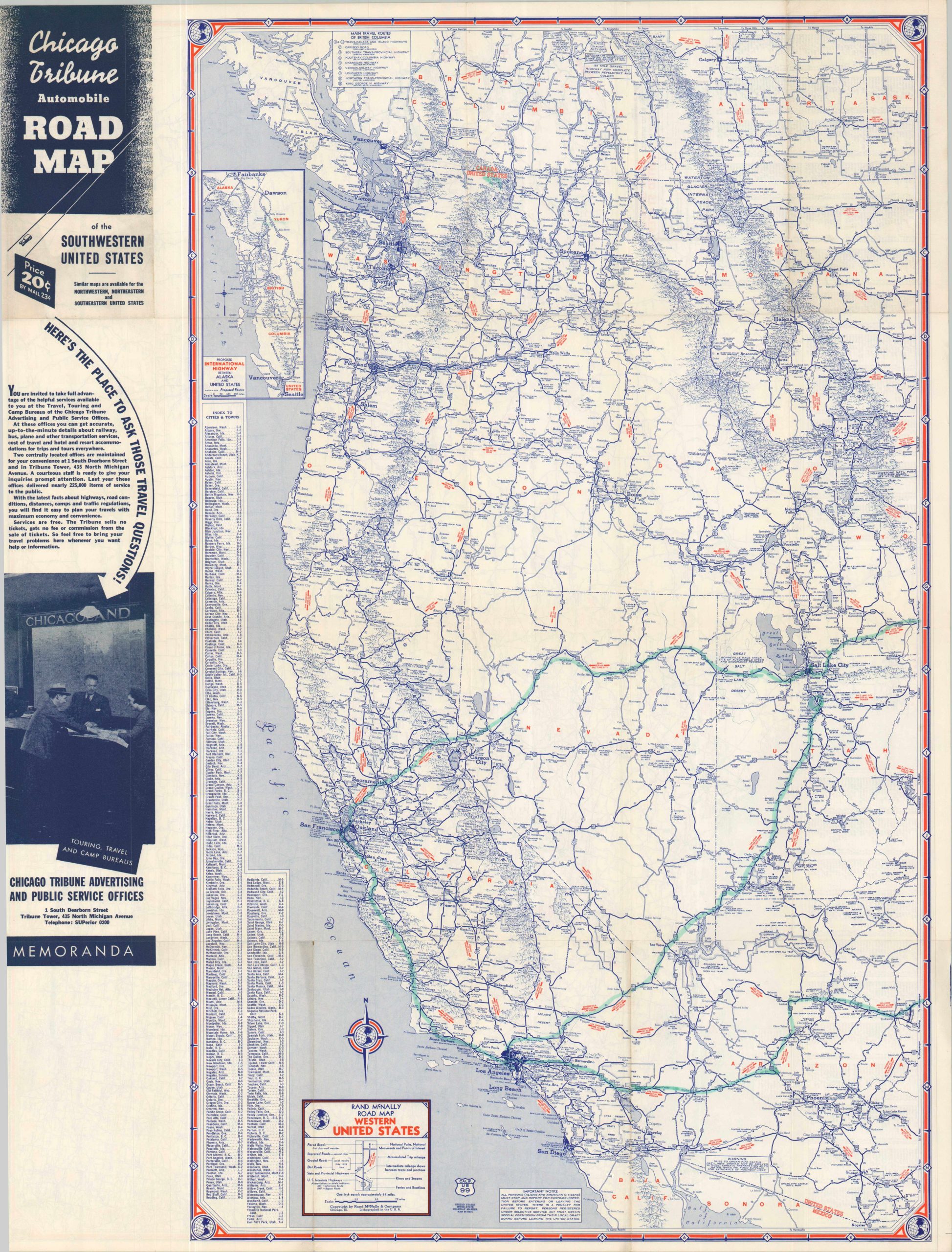
Chicago Tribune Automobile Road Map of the Southwestern United States
$80.00
The Chicago Tribune looks to build a national audience during WWII.
1 in stock
Description
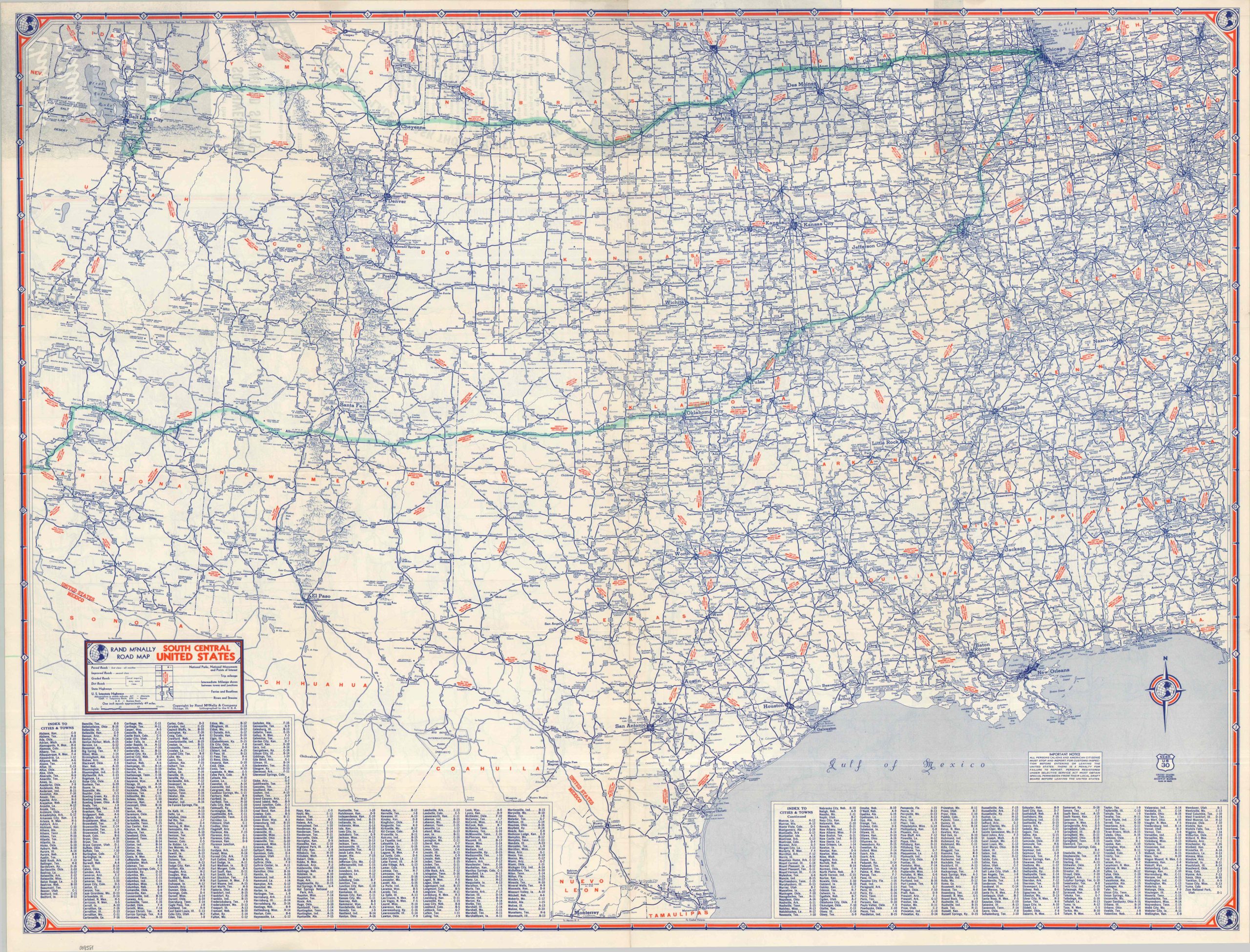
This double-sided road map from the early 1940s covers the majority of the United States west of Chicago. Detailed images created by Rand McNally offer an informative overview of the highway network across the Southwest, noting distances between points, the quality of road surfaces, and local points of interest. An accompanying annotation notes that all persons must stop and report for customs inspections before entering or leaving the U.S.
The map, one of four covering the entire U.S., was issued by the Tourism Department of the Chicago Tribune in 1942, according to the Rand McNally date code in the lower corner. It’s likely that impending wartime fuel restrictions would drastically minimize the availability of auto tourism for most Americans.
Map Details
Publication Date: 1942
Author: Rand McNally
Sheet Width (in): 26.00
Sheet Height (in): 34.00
Condition: A-
Condition Description: Double-sided map brochure with light wear and creasing along folds and in the margins, consistent with age. A specific route marked on both sides with an old blue marker, otherwise in very good condition.
$80.00
1 in stock