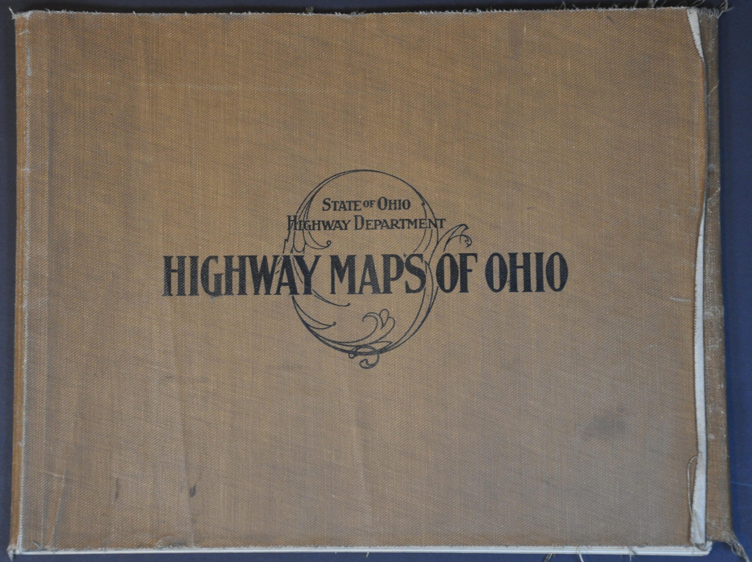
Highway Maps of Ohio
$450.00
Leveraging student labor to create an early road survey of Ohio.
1 in stock


Description
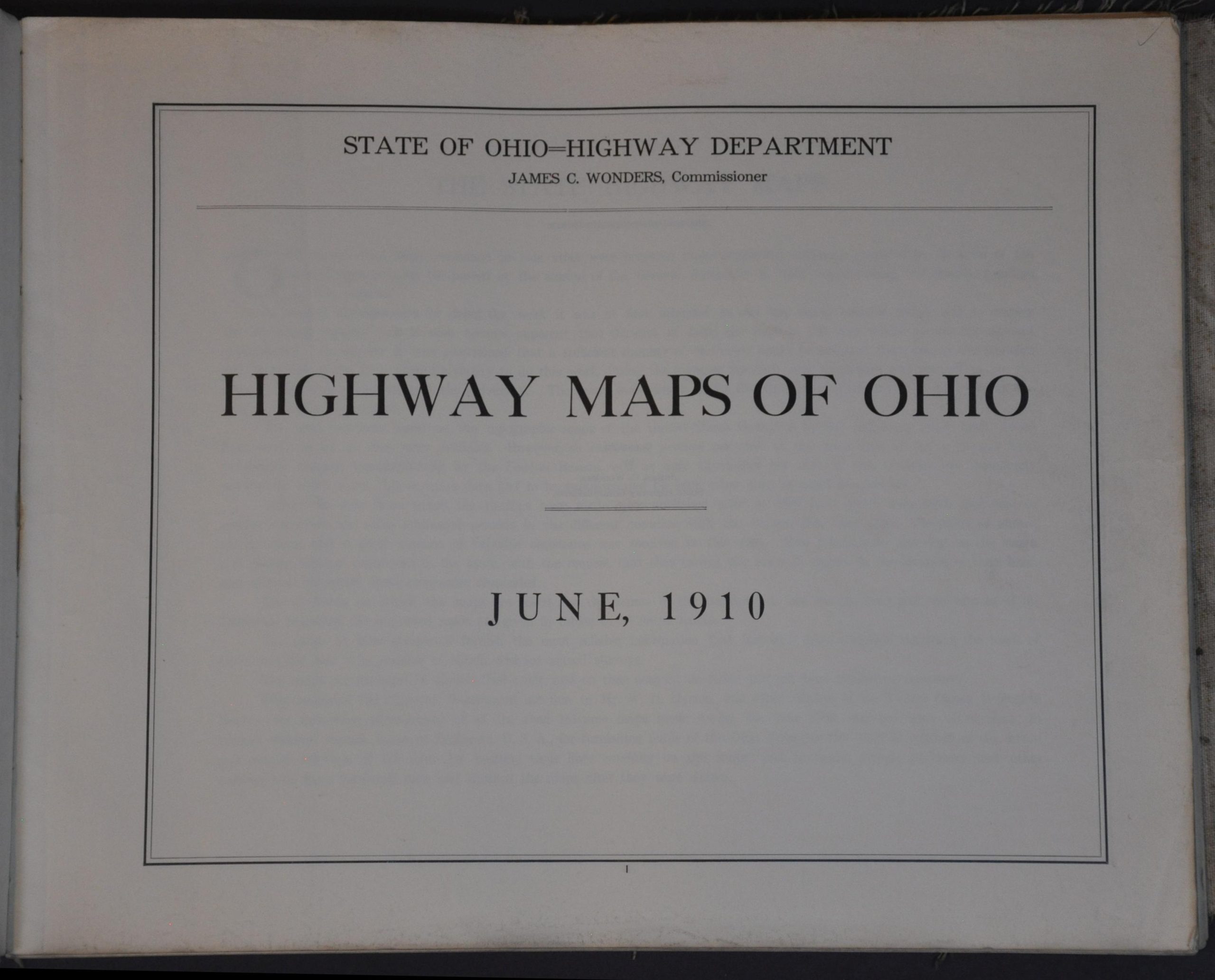
This uncommon ‘highway’ atlas of Ohio was copyrighted in 1910 by James C. Wonders, the State Highway Commissioner. According to the brief introduction outlining the volume, the expected cost to create the maps exceeded the appropriated budget of $5,000, so students from Ohio State University were ’employed’ to do the work on their summer vacation. The results “furnish the most reliable information that has ever been compiled regarding the roads of Ohio, and the best it is possible to obtain without actual surveys.”
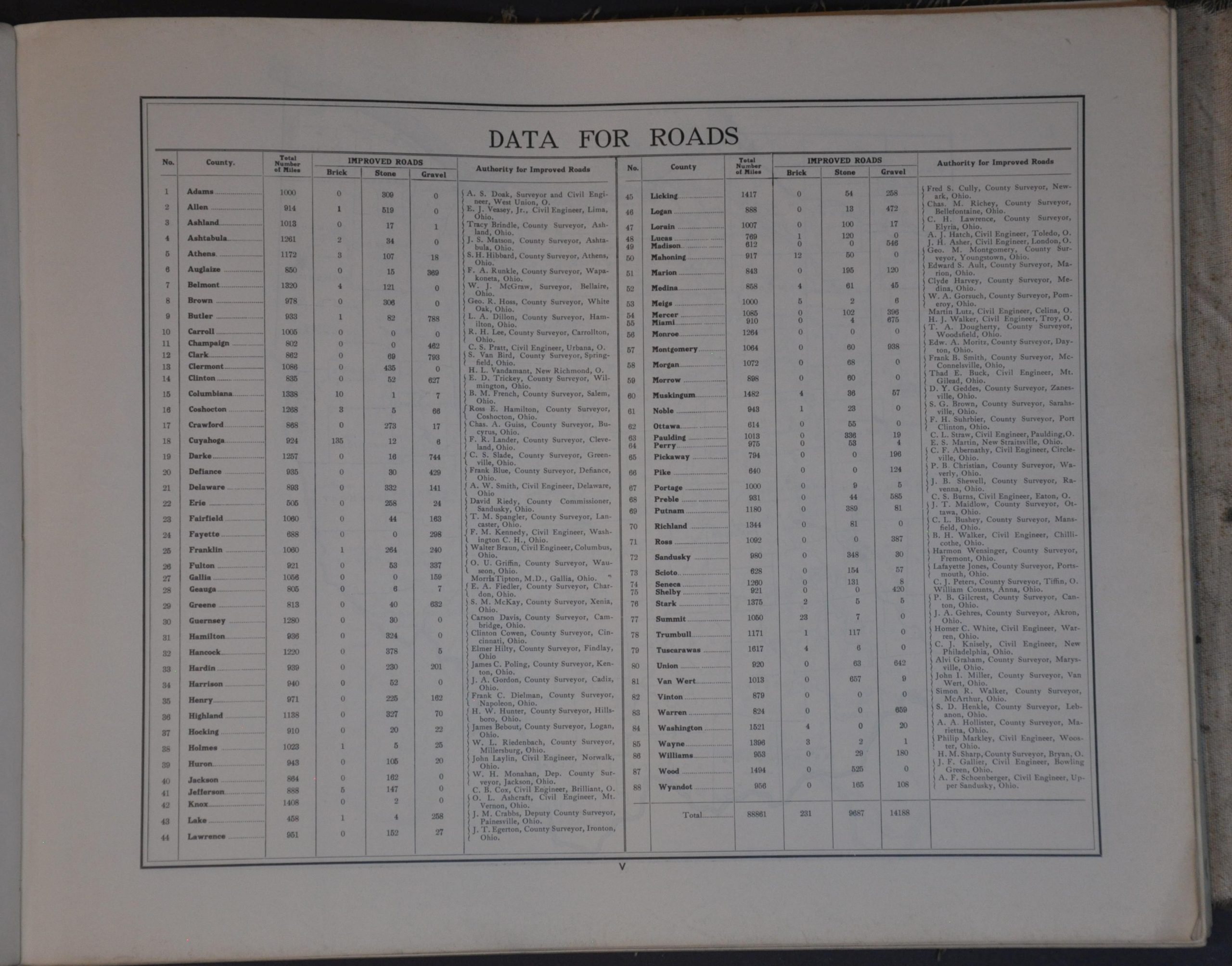
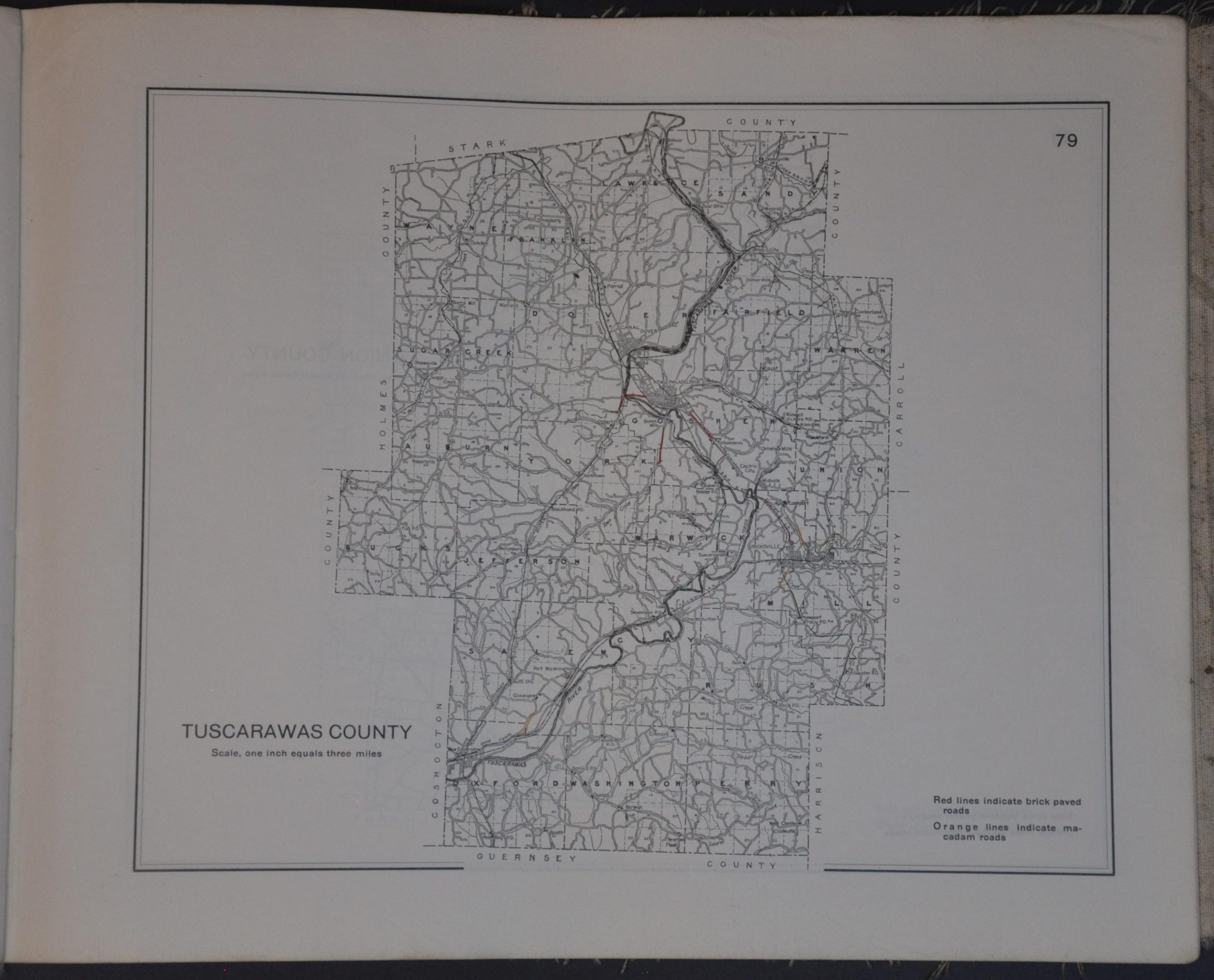
An index of each of Ohio’s 88 counties offers an interesting variety of information, including the primary sources, the mapmaker’s name, total road mileage, and approving authority. A key map is then followed by relatively straightforward single-page maps of each county, arranged alphabetically. Towns, townships, geographic features, and railroads are labeled across a basic transportation outline. Colored overprinting denotes the types of roads – brick paved (red), macadam (orange), and gravel (blue). Cuyahoga County led the state in brick-paved roads, with 135 miles (out of 924 total miles).
Map Details
Publication Date: 1910
Author: James C. Wonders
Sheet Width (in): 16.40
Sheet Height (in): 13.30
Condition: A-
Condition Description: I-VI (including key) + 88 single page maps bound with string in original brown cloth wraps (moderately tattered, with some loss). Minor marginal soiling and light wear, consistent with age, along with a bit of initial separation along the spine and gutter. Very good condition overall.
$450.00
1 in stock