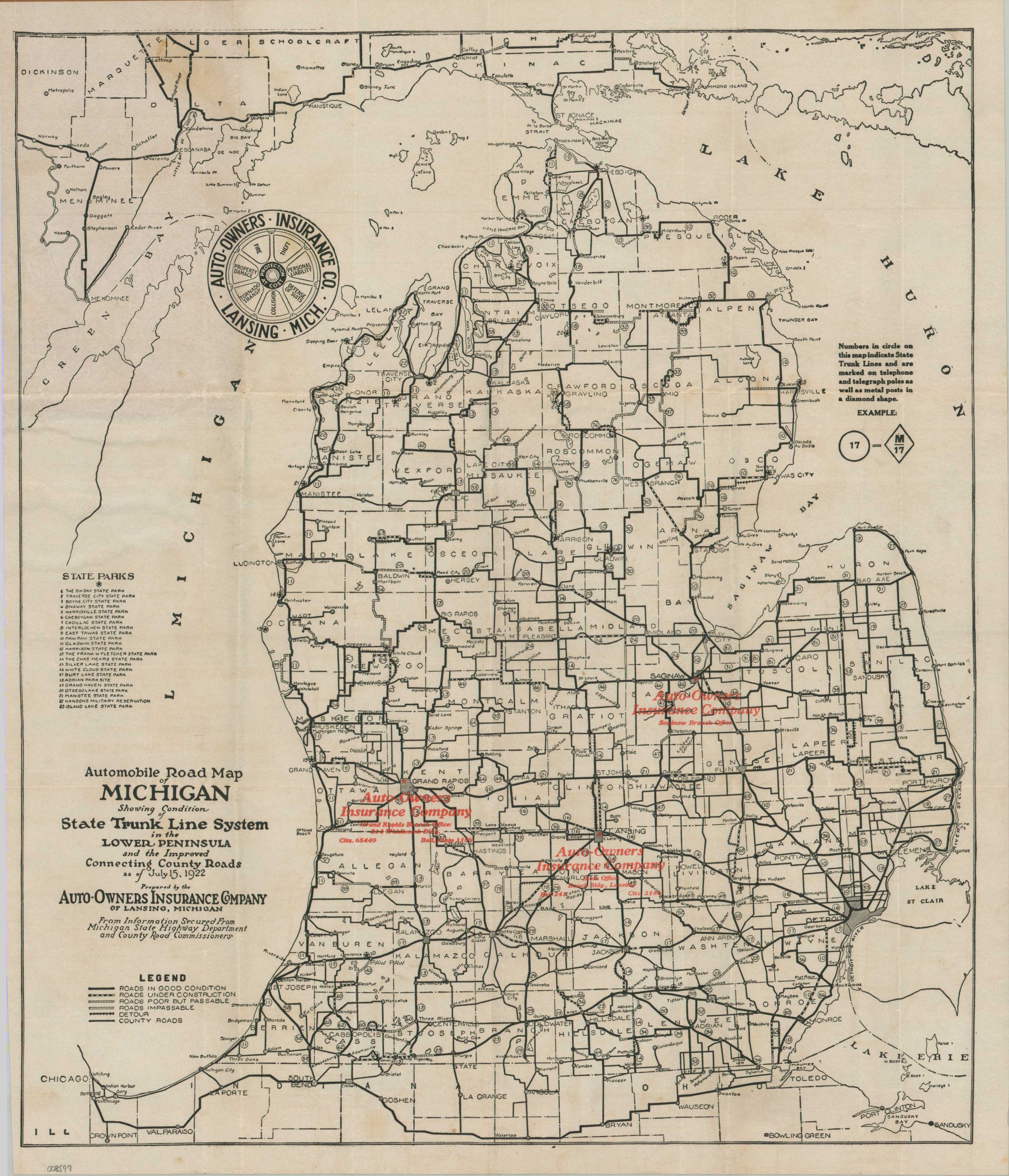
Automobile Road Map of Michigan Showing Condition of State Trunk Line System in the Lower Peninsula and the Improved Connecting County Roads
$315.00
A scarce guide to Michigan’s early system of State Trunk Highways.
1 in stock


Description
“We can do no more than protect you from loss through accident. Through the use of the map we hope to guide you on your way through Michigan, across it and over the man beautiful by-ways that help make motoring one of the most pleasurable of recreations.” – pg. 1.
This 1922 road map of Michigan’s Lower Peninsula is a fascinating artifact from the ‘Frontier Era’ of American motoring. Published at a time when Michigan was a national leader in transit innovation, the map captures the state’s trunk line system just three years after it became only the second state in the union (after Wisconsin) to adopt a standardized numbering system. By 1922, the “M” prefixes were still a novelty to many drivers, and this map, issued by the Auto-Owner’s Insurance Company of Lansing, served as both a navigational guide and a clever piece of commercial marketing for the burgeoning insurance industry.
The visual language of the fold-out map highlights the rugged, often unreliable, reality of the 1920s “Good Roads” movement. Several styles of lines generalize the condition of road surfaces across the Wolverine State, ranging from Good to Impassable. Detours are often noted around areas of construction, reflecting an intimate familiarity with the development of the trunk line network.
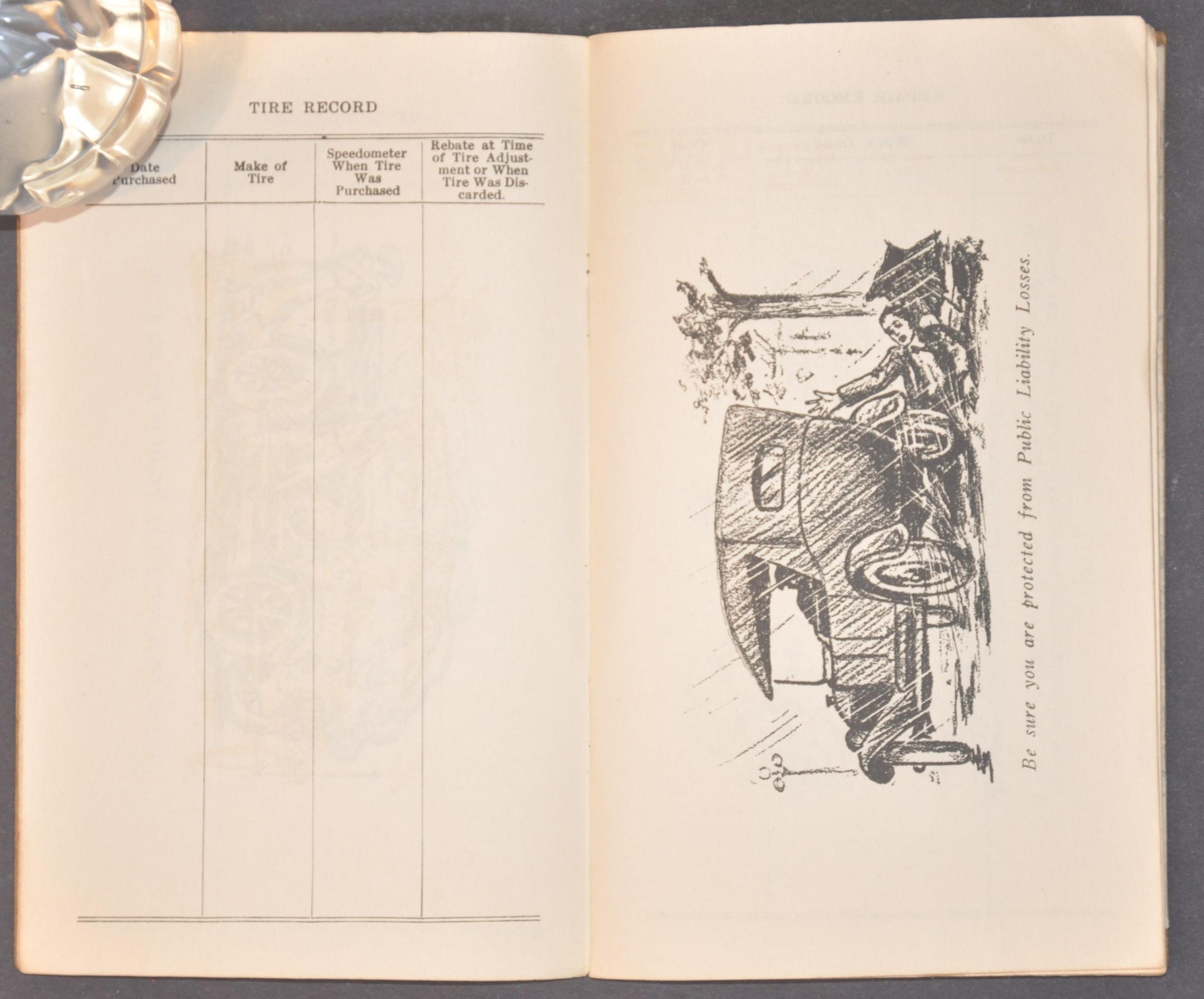
Red overprinting identifies the location of Auto-Owners Insurance Branches in Saginaw, Lansing, and Grand Rapids. The firm, established only six years before the map’s publication, remains headquartered in Lansing and offers coverage over half of America. The attached booklet gives the audience further reason to consider insuring their automobile, as numerous captioned illustrations highlight the varied perils of the road such as theft, accidents, etc.
Map Details
Publication Date: 1922
Author: Auto-Owners Insurance Company
Sheet Width (in): 15.50
Sheet Height (in): 18.50
Condition: B+
Condition Description: Folding map (size given) affixed to the back cover of a 24 pp. booklet, comprised of blank note pages and black and white comics. Stapled binding and brown paper wraps, with some toning on the preface sheet. The map has some sharp creasing along the folds and scattered discoloration and soiling, most evident in the upper left corner. Good condition overall.
$315.00
1 in stock