U.S. Midwest
Showing 37–54 of 1692 resultsSorted by latest
-
![Rand McNally Official 1922-1923 Auto Trails Map District No. 1 [and] District No. 2](data:image/svg+xml,%3Csvg%20xmlns='http://www.w3.org/2000/svg'%20viewBox='0%200%20300%20300'%3E%3C/svg%3E)
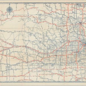
Rand McNally Official 1922-1923 Auto Trails Map District No. 1 [and] District No. 2
$165.00 Quick View -
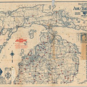
Rand McNally Official 1920 Auto Trails Map District Number 3 Southern Peninsula of Michigan Northern Indiana Northwestern Ohio
$185.00 Quick View -
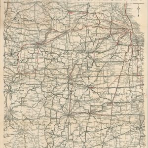
Rand McNally Official 1923 Auto Trails Map District Number 3 Northern Indiana Michigan North West Ohio
$125.00 Quick View -
Rand McNally Official Auto Trails Map District No. 1
$245.00 Quick View -
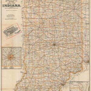
Mendenhall’s Guide and Road Map of Indiana
$200.00 Quick View -
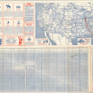
Travel the North-South Fast Route from the Great Lakes to Florida
$95.00 Quick View -
Ace Auto Road Map of Minnesota
$80.00 Quick View -
Clason’s United States Highway Map Sheet No. 12 [Michigan, Ohio, Indiana]
$95.00 Quick View -
Rand McNally Junior Auto Road Map of Nebraska
$95.00 Quick View -
Rand McNally Junior Auto Road Map of Iowa
$110.00 Quick View -
Sold Out
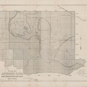
Official Map of the Land to be Opened for Settlement Indian Allotments and Coal Lands on the Fort Berthold Reservation in North Dakota
Quick View -
Sold Out
The American Gazetteer
Quick View -
Thresher’s Souvenir Map of St. Paul, Ramsey Co. Minn. 1887-78
$295.00 Quick View -
Sold Out
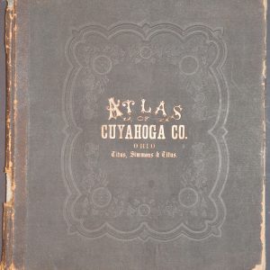
Atlas of Cuyahoga County Ohio
Quick View -
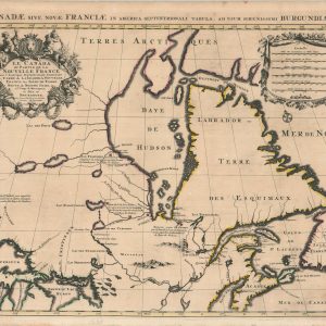
Le Canada ou Partie de la Nouvelle France
$1,250.00 Quick View -
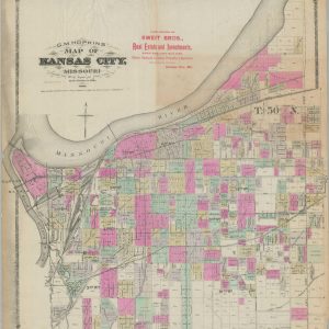
G.M. Hopkins’ Map of Kansas City, Missouri
$1,350.00 Quick View -
Sold Out
The Baltimore & Ohio System Map of the Baltimore & Ohio Chicago Terminal Railroad and Its Connections
Quick View -
Map of the Northern Parts of the United States of America
$325.00 Quick View
![Rand McNally Official 1922-1923 Auto Trails Map District No. 1 [and] District No. 2](https://curtiswrightmaps.com/wp-content/uploads/map_30.31x34.51_04-25-26_inv008407c-300x300.jpg)


![Clason's United States Highway Map Sheet No. 12 [Michigan, Ohio, Indiana]](https://curtiswrightmaps.com/wp-content/uploads/map_18.55x26.29_04-25-26_inv008368c-300x300.jpg)


show blocks helper