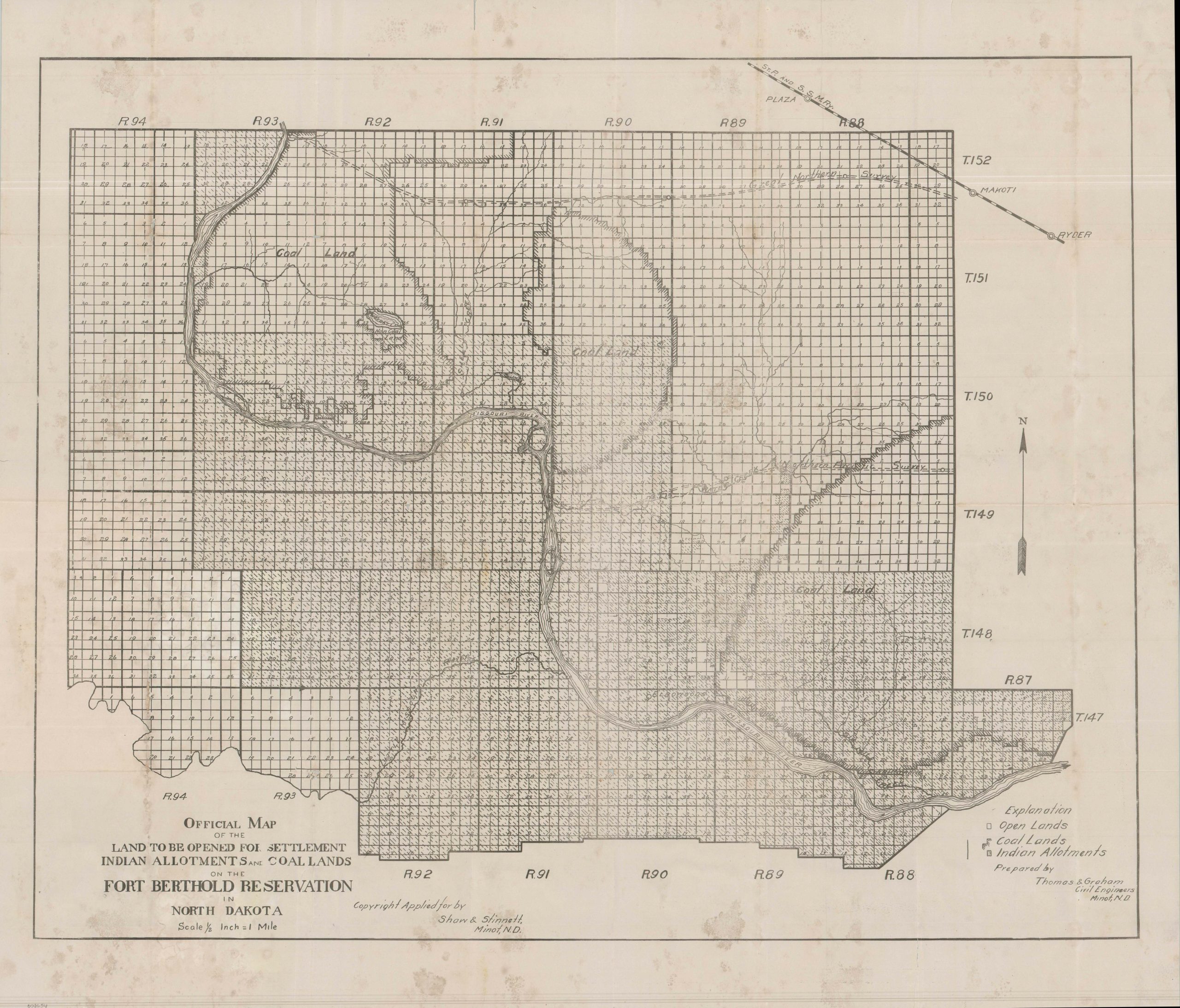
Official Map of the Land to be Opened for Settlement Indian Allotments and Coal Lands on the Fort Berthold Reservation in North Dakota
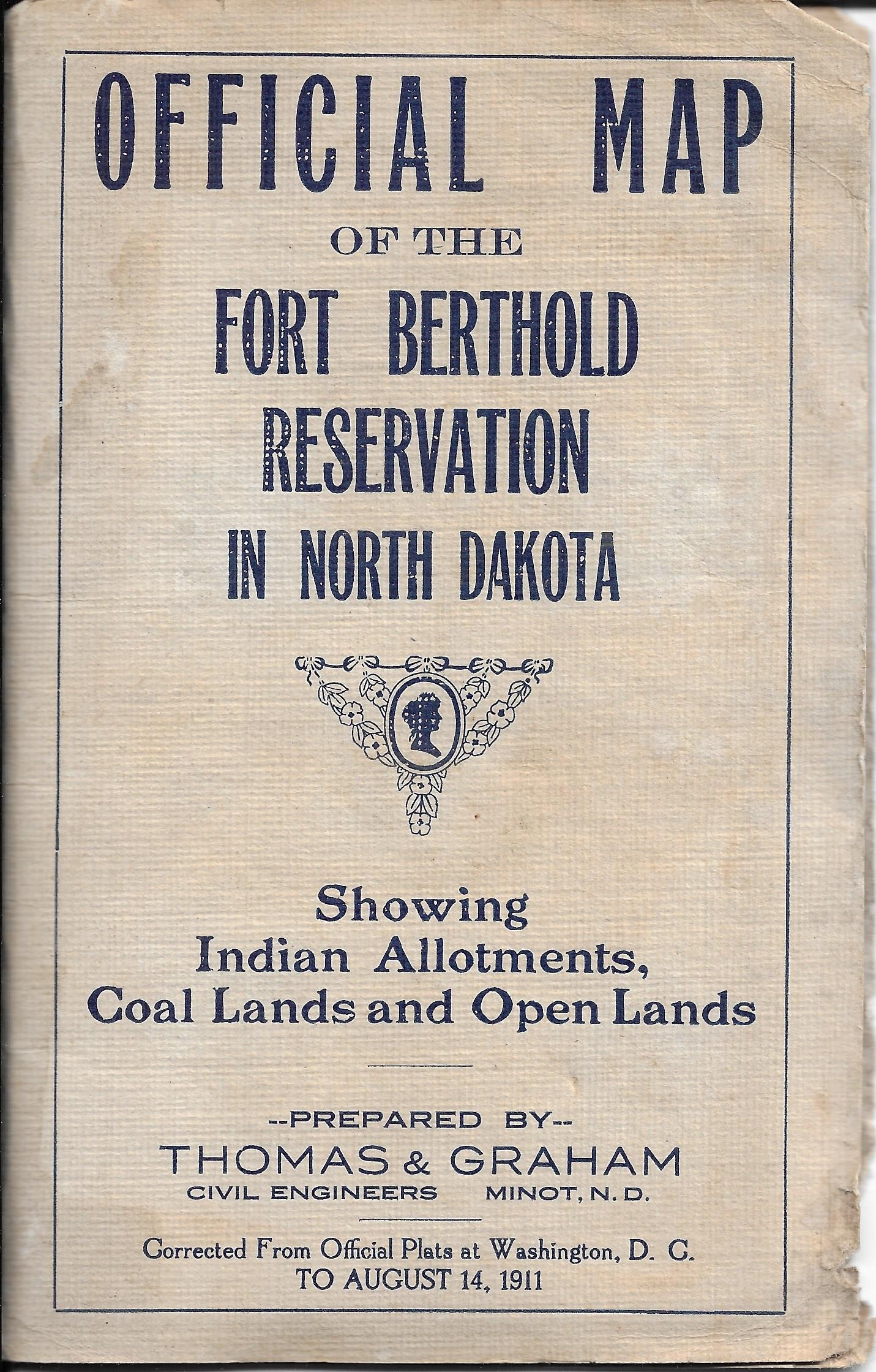
The Official Map of the Fort Berthold Reservation in North Dakota
Out of stock

Description
This rare 1911 pocket map provides a detailed cartographic blueprint of a significant land opening on North Dakota’s Fort Berthold Indian Reservation. The Missouri River meanders through the center of the sheet, serving as the geographic heart of the territory, while the St. Paul and Sault Ste. Marie Railroad cuts through the upper right corner – a vital artery for the incoming wave of settlement.
The map serves as a stark visual record of the Dawes Act in practice. Shaded boxes identify the allotments assigned to individual members of the Mandan, Hidatsa, and Arikara (the Three Affiliated Tribes), while the “empty” parcels represent the lands opened for external homesteading. Distinct, thick borders delineate the ‘Coal Lands,’ identifying the rich deposits that made this reservation a primary target for resource extraction.
As detailed in the accompanying text, the land was distributed via a bureaucratic lottery held in Minot on September 6, 1911. Applicants paid a registration fee for a place in line, with successful ‘winners’ earning the right to select tracts priced between $1.50 and $6.00 per acre.
Produced by the Minot-based civil engineers Thomas & Graham and copyrighted by Shaw & Stinnett (a local brokerage firm), the map boasts a remarkably rapid production cycle, having been corrected (using official government records) to August 14, 1911 – just weeks before the drawing. Such ephemeral, locally produced lottery maps were often discarded once the claims were filed, making this an incredibly scarce survivor. As of May 2026, this map remains unrecorded in WorldCat or other major institutional repositories.
Map Details
Publication Date: 1911
Author: Thomas & Graham
Sheet Width (in): 29.50
Sheet Height (in): 25.90
Condition: B
Condition Description: Single-sided black and white map, printed on somewhat thin paper, folded, and affixed to original white cloth covers. Moderate wear along folds, including some irregular wrinkling and tearing, repaired on verso. Scattered soiling and spotting, likely from old damp exposure, but any mold seems to be inert and the paper smells quite clean. About good condition overall.
Out of stock