
Galveston
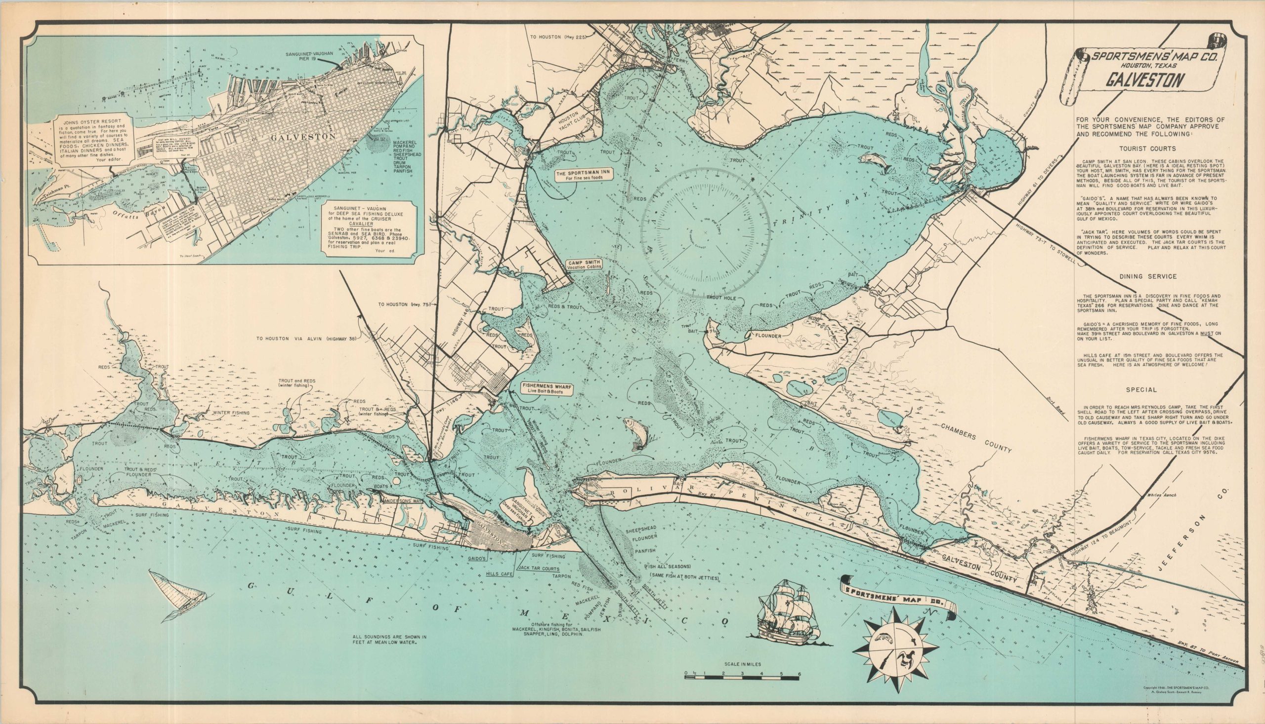
Postwar fishing map of Trinity and Galveston Bays.
Out of stock
Description
The postwar years saw a surge in outdoor recreational activity across the United States, due in large part to the tens of thousands of American G.I.s returning from overseas duty during World War II. Fishing, hunting, and camping were wildly popular pastimes, with entire regions developed to cater to the new tourist class.
This fishing map of Galveston, Texas, was published in 1946 by the Sportsmen’s Map Company of Houston. Approximately sixty miles of coastline along the Gulf of Mexico is presented, along with the waters of Galveston, Trinity, and East Bays. Popular local catches include trout, flounder, and redfish, with more exotic species like snapper, sailfish, and bonita available offshore. Recommendations for local restaurants, accommodations, and other locations of interest are provided in the upper right. An inset of the city of Galveston is provided in the upper left, noting several additional eateries.
Map Details
Publication Date: 1946
Author: A. Graham Scott and Emmett R. Ramsey
Sheet Width (in): 34.9
Sheet Height (in): 19.75
Condition: A-
Condition Description: Color map printed on somewhat thin paper with light wear and faint toning along the outer edges of the sheet. Soft creasing where previously rolled and a bit of staining in the lower left corner (see scan). Very good condition overall.
Out of stock