
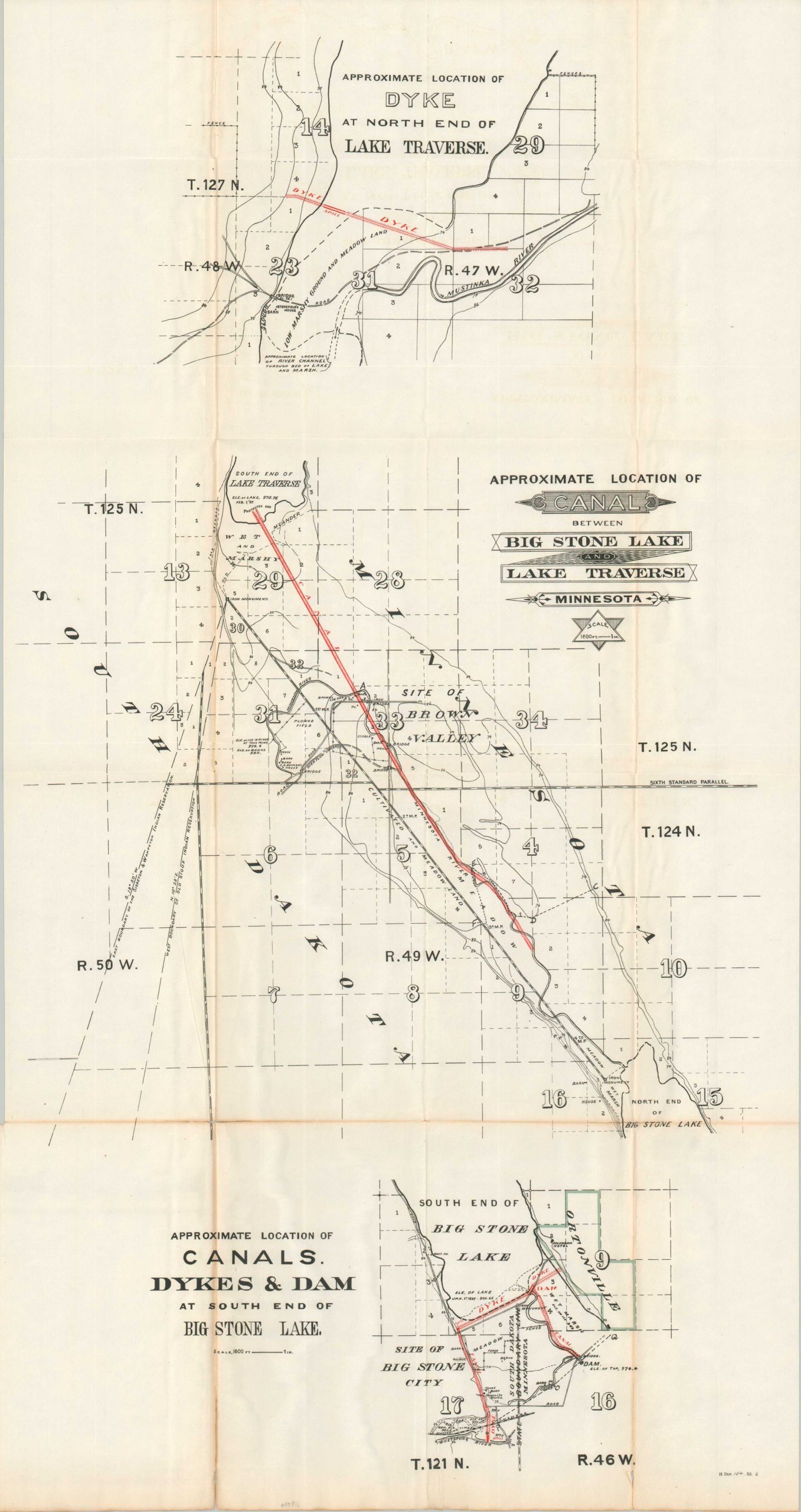
Approximate Location of Canal Between Big Stone Lake and Lake Traverse Minnesota
$125.00
Planning an unrealized canal across the Traverse Gap in the late 19th century.
1 in stock
Description
This fascinating series of images explores the possibility of using a system of dikes, canals, and reservoirs to manage the flow of water between Minnesota’s Lake Traverse and Big Stone Lake. The fertile area had long been subject to seasonal flooding and the completion of a navigable waterway between the two lakes would boost local industry and commerce.
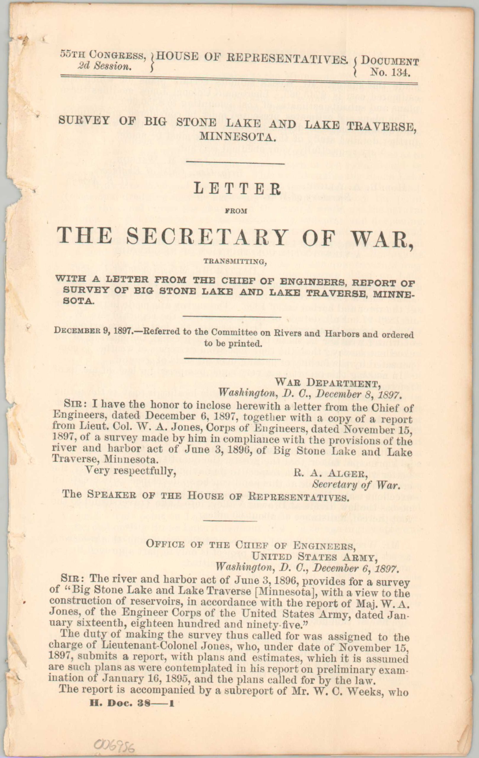
The central map provides an overview of the region, noting the artificial channel to the Minnesota River. This was controlled by a dyke constructed at the north end of Lake Traverse (upper image), with further dams, spillways, and canals needed at the southern end of Big Stone Lake (lower image). The sheet is accompanied by seven pages of text that discuss the feasibility and cost of construction, though ultimately the project was never built.
Reports by W.A. Jones and John M. Wilson of the Army Corps of Engineers, with surveying (and presumably mapmaking) performed by C.W. Weeks. Published by the Government Printing Office in 1899 as part of a Congressional report about internal improvements.
Source: South Dakota Public Broadcasting
Map Details
Publication Date: 1899
Author: United States War Department
Sheet Width (in): 18.25
Sheet Height (in): 34.75
Condition: B
Condition Description: Large folding map and 7 pages of text extracted from a broken Congressional report. Heavy wear along originally issued folds, including several areas of creasing, toning and repaired separations along the bottom third of the sheet. Text has a ragged binding edge. Good condition overall.
$125.00
1 in stock