Canals
Showing 1–18 of 32 resultsSorted by latest
-

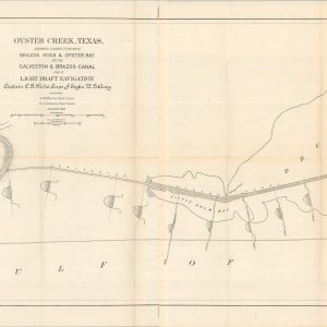
Oyster Creek, Texas, Showing Connection with Brazo River & Oyster bay by the Galveston & Brazos Canal for a Light Draft Navigation
$200.00 Quick View -
Illinois & Michigan Canal National Heritage Corridor
$75.00 Quick View -
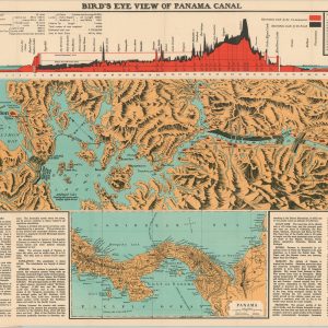
Bird’s Eye View of Panama Canal
$145.00 Quick View -
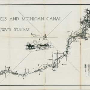
Illinois and Michigan Canal Parkways System
$200.00 Quick View -
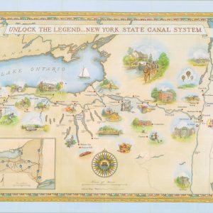
Unlock the Legend…New York State Canal System
$50.00 Quick View -
Reports of Explorations and Surveys, to Ascertain the Practicability of a Ship-Canal Between the Atlantic and Pacific Coasts by the way of the Isthmus of Tehuantepec
$250.00 Quick View -
Birds-Eye View of the Suez Canal Connecting the Red Sea with the Mediterranean
$100.00 Quick View -
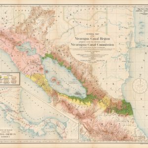
Report of the Nicaragua Canal Commission 1897 – 1899 Maps and Profiles
$250.00 Quick View -
Sale!
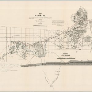
Map of the Country Embraced in the preliminary Survey and Examination of the Peninsula of Florida with a view to the construction of a Ship Canal from the St. Mary’s River to the Gulf of Mexico
Original price was: $300.00.$225.00Current price is: $225.00. Quick View -
Map of Yazoo River Diversion Canal from Mouth to Old River
$95.00 Quick View -
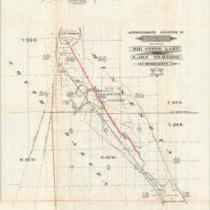
Approximate Location of Canal Between Big Stone Lake and Lake Traverse Minnesota
$125.00 Quick View -
“Traced From” Plan & Profile of Canal from Lick Creek to Dam Plan from Old Map Field Sketch by D. Laudermilk
$125.00 Quick View -
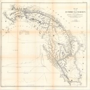
Reports of Explorations and Surveys to Ascertain the Practicability of a Ship-Canal Between the Atlantic and Pacific Oceans by Way of The Isthmus of Darien
$250.00 Quick View -
An Improved Reference Map of the Valley of the Connecticut and Western Section of New England
Quick View -
Calumet and Chicago Canal and Dock Company Annual Report
$40.00 Quick View -
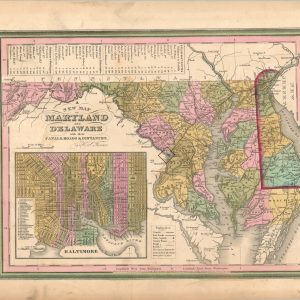
A New Map of Maryland and Delaware with their Canals, Roads, & Distances
$80.00 Quick View -
Plans, Profile & Maps Accompanying the Annual Report of the State Engineer and Surveyor On the Canals, for 1859
$250.00 Quick View -
Tunison’s Chart of the World Showing the Distances Saved by the Panama Canal
$65.00 Quick View