
A New Map of Maryland and Delaware with their Canals, Roads, & Distances
$80.00
The Chesapeake Bay region in the 1840s.
1 in stock
Description
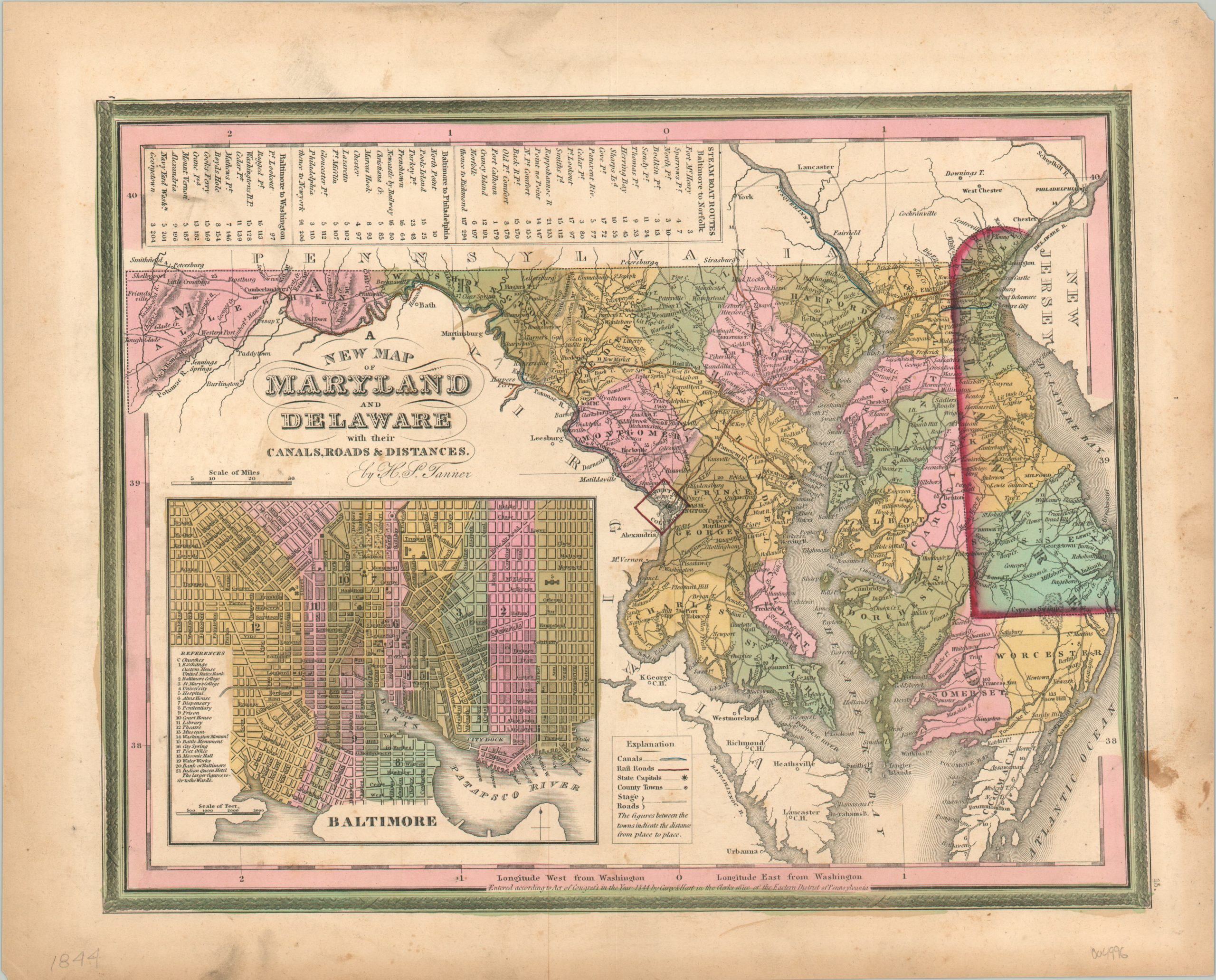
This interesting and attractive map of Delaware and Maryland provides a detailed overview of the two states near the end of the First Industrial Revolution. Numerous early railroads are outlined in orange, with canals and stage roads also noted according to the legend in the lower center. A table at the top of the page lists steamboat routes and their corresponding distances.
The site of the 1814 Battle of Baltimore is marked with a flag just outside the city, and an inset street map can be seen in the lower left. Twenty-one different locations of interest, plus several churches, are identified therein.
Map Details
Publication Date: 1844
Author: Henry Tanner
Sheet Width (in): 16.5
Sheet Height (in): 13.25
Condition: B
Condition Description: Moderate surface soiling visible in several areas across the image, most heavily in the upper left quadrant. Some dark staining also visible in the lower right that just enters the neatline. About good condition, with nice original color.
$80.00
1 in stock