
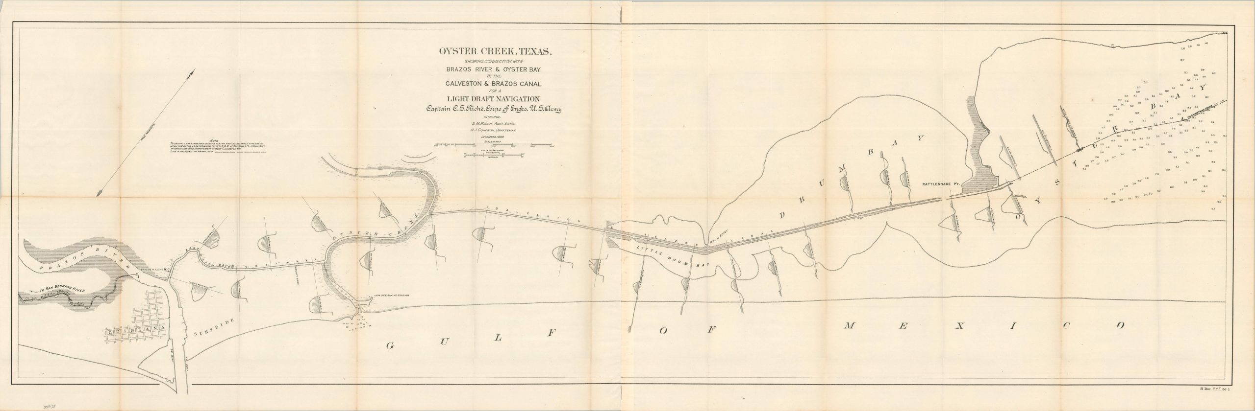
Oyster Creek, Texas, Showing Connection with Brazo River & Oyster bay by the Galveston & Brazos Canal for a Light Draft Navigation
$200.00
An interesting overview of managed waterways along the Gulf Coast in the late 19th century.
1 in stock
Description
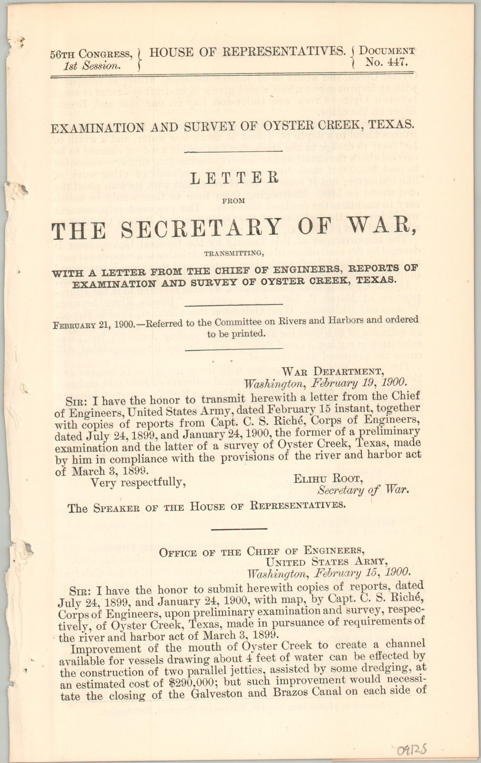
“Improvement of the mouth of Oyster Creek to create a channel available for vessels drawing about 4 feet of water can be affected by the construction of two parallel jetties, assisted by some dredging, at an estimated cost of $29,000 if done by contract independently…” – pg. 1.
This detailed turn-of-the-century report and accompanying folding survey map were compiled by Captain C.S. Riche of the U.S. Army Corps of Engineers and published in Washington, D.C. by the Government Printing Office. Issued within a 1900 Congressional volume on War Department civil works, the sheet documents federal efforts to evaluate and improve feeder channels along the Texas Gulf Coast during a critical era of regional development. Local commercial interests (especially cotton, sugar, and lumber) were keen to have reliable access to the coast around the treacherous river mouth bar.
The elongated map presents a sweeping, linear survey of the coast near the mouth of the Brazos River in Brazoria County. It prominently features the Galveston & Brazos Canal running parallel to the Gulf shore, dug by slaves and designed to offer small-draft vessels a sheltered inland route toward West Galveston Bay. While interior details are kept sparse to emphasize coastal hydrography, the survey captures key maritime landmarks of the era, including the beach communities of Quintana and Surfside, the nearby U.S. Life-Saving Station, and the Brazos River Lighthouse (“Brazos Light”). Also of note are the numerous cross sections of the various waterways.
The scarce engineering assessment captures a pivotal crossroads in Texas history, published at the height of extensive public investment to improve the commercial navigability of the upper Texas coast for booming global grain and cotton exports. The Corps of Engineers’ highly localized efforts to dredge shallow coastal bayous, creeks, and rivers were dramatically upended by the catastrophic Great Galveston Hurricane in September 1900. The storm’s massive surge and destructive winds physically erased recent engineering progress and crippled the local agricultural economy. In the years that followed, this disaster, compounded by the historic 1901 oil discovery at Spindletop, permanently accelerated a strategic shift away from vulnerable, decentralized river networks toward centralized inland deep-water ports and the unified Gulf Intracoastal Waterway.
Map Details
Publication Date: 1900
Author: C.S. Riche
Sheet Width (in): 52.75
Sheet Height (in): 15.25
Condition: B+
Condition Description: Large single-sided sheet on somewhat thin paper. Creasing and wear along folds, including small splits at the joints, wrinkling, small splits, and areas of discoloration/toning. Good condition overall. Includes 9 pages of related text.
$200.00
1 in stock