
Report of the Nicaragua Canal Commission 1897 – 1899 Maps and Profiles
$250.00
The Maps and Profiles from the Report of the Nicaragua Canal Commission.
1 in stock





Description
In the late 1890s, the United States government approved two separate commissions to explore the potential of creating a Transoceanic Canal across Central America. The first was the Nicaragua Canal Commission (1897-1899), followed by the Isthmian Canal Commission of 1899 – 1901 (not to be confused with the later group of 1904 set up to oversee construction of the Panama Canal).
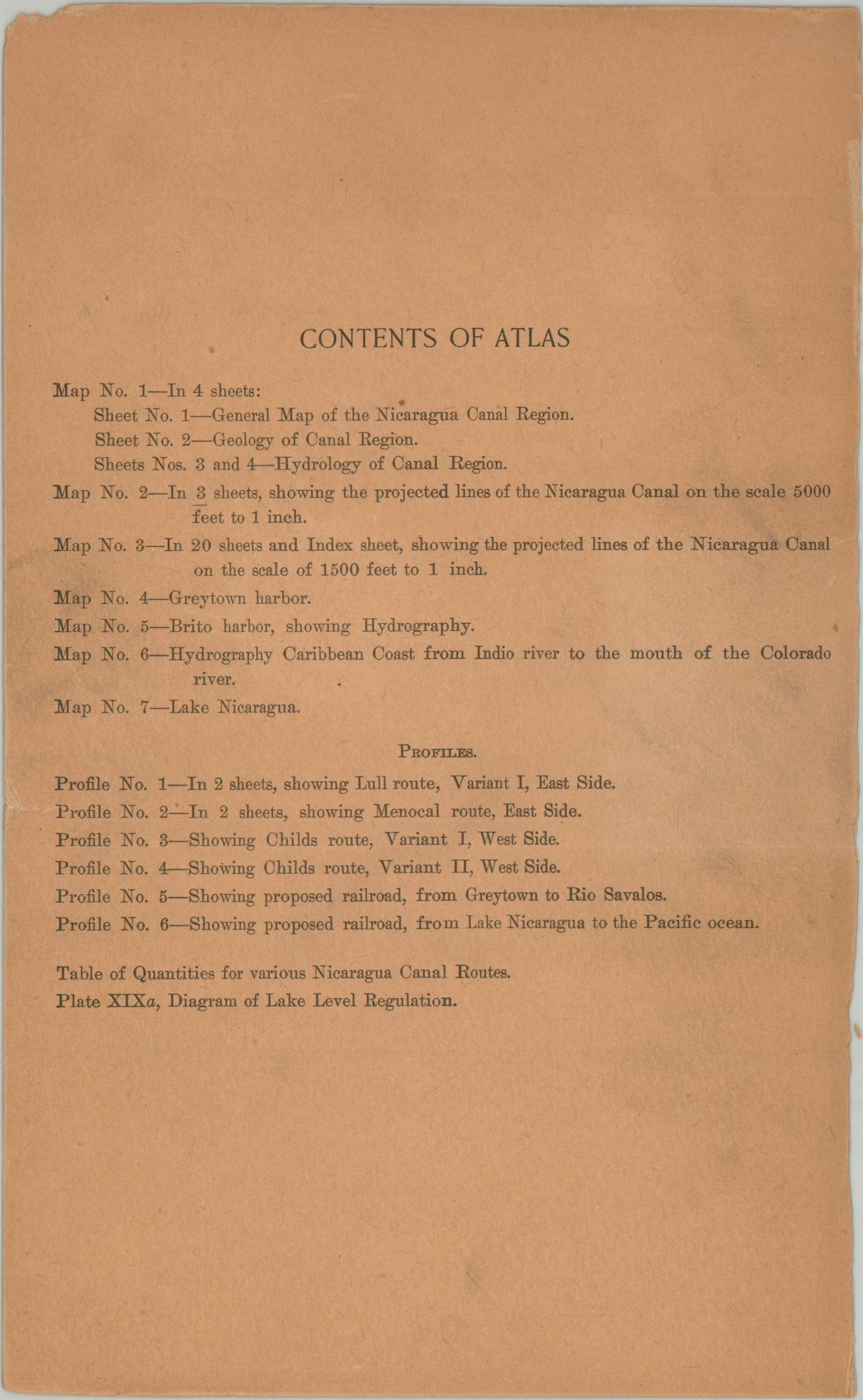
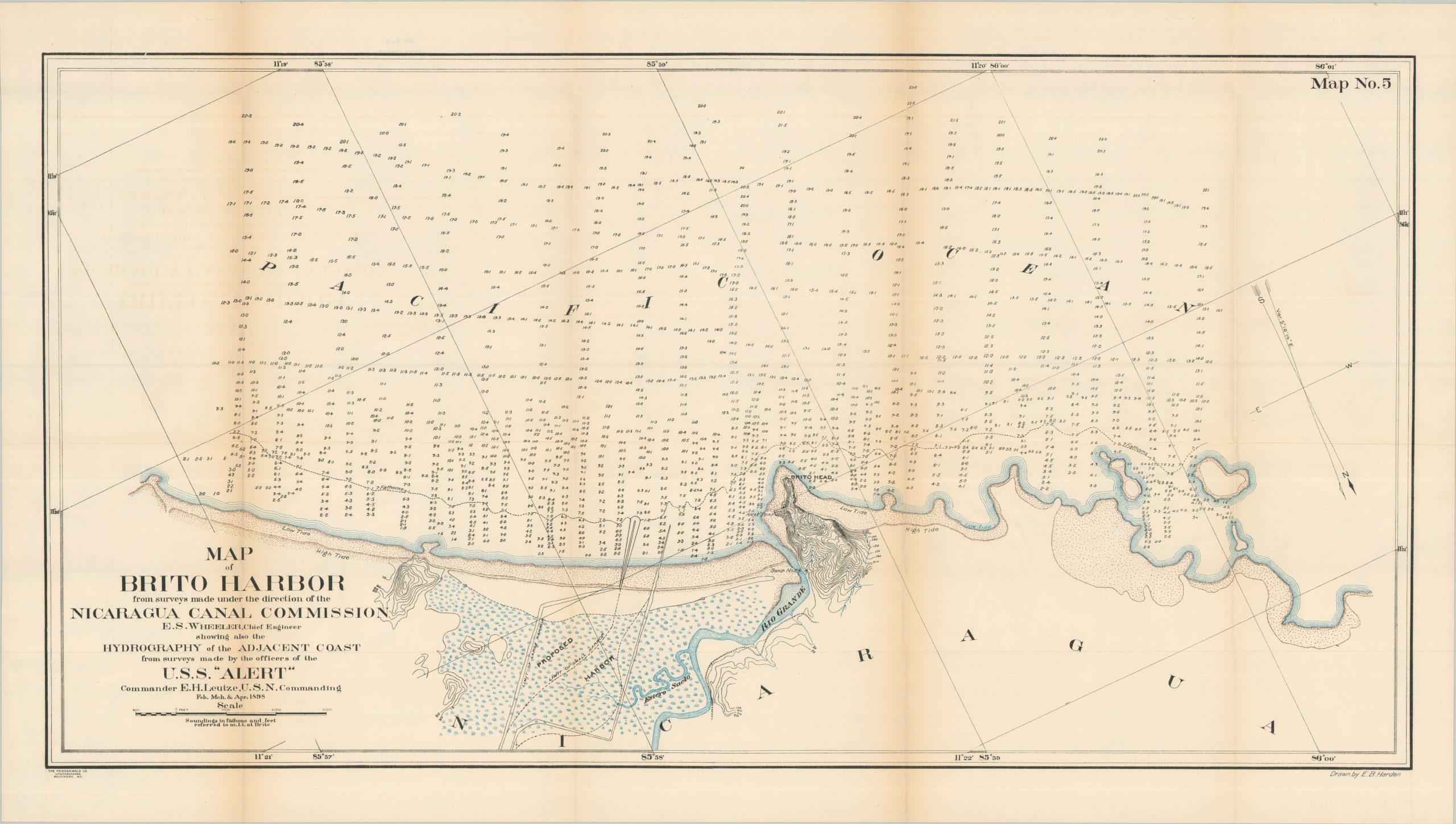
This atlas was issued to accompany the report of the earlier commission, published in Baltimore by Friedenwald Co. in 1899. The contents – seven maps on 30+ sheets plus 8 elevation profiles – offer a detailed overview of a proposed Nicaragua route and present some of the earliest scientific hydrology of the San Juan River Basin. Plans of Lake Nicaragua, Brito Harbor, and Greytown Harbor are also included.
The Isthmian Canal Commission found that a route through Panama was preferred on technical grounds (shorter distance, more stable geology, existing infrastructure, etc.), but initially recommended the Nicaragua Canal due primarily to its cheaper price tag. This encouraged the French owners of the Panama Canal to lower their asking price, tipping the balance in its favor. Work under U.S. authority would begin officially in 1904 and the Panama Canal was open for shipping in 1914. The Nicaraguan Canal remains a pipe dream, though there have been a handful of efforts to revive the project in some form, with the latest proposal coming from President Ortega in 2024.
Sources: Southern Illinois University; Example at HathiTrust; Example at HaithiTrust
Map Details
Publication Date: 1899
Author: Nicaragua Canal Commission
Sheet Width (in): See Description
Sheet Height (in): See Description
Condition: B+
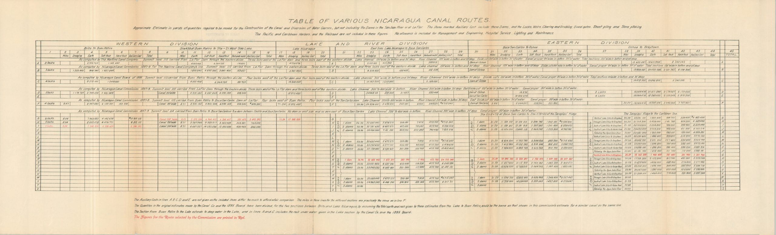
Condition Description: Collection of 31 maps, 8 profiles, and two tables of data with original paper covers (heavily repaired with cellophane tape). Lacking one sheet from Map No. 3. Sheets range in size from Sharply creased along folds, a bit of edge wear (consistent with age and use), and some faint offsetting from the printed ink. Good to very good condition overall.
$250.00
1 in stock