Panama Canal
Showing 1–18 of 37 resultsSorted by latest
-

Map of the United States of America and Detached Territories
$85.00 Quick View -
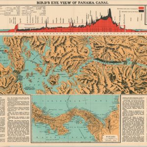
Bird’s Eye View of Panama Canal
$145.00 Quick View -
A Pictorial Map of Historic Panama
$110.00 Quick View -
Report of the U.S. Nicaragua Surveying Party, 1885
$250.00 Quick View -
Reports of Explorations and Surveys, to Ascertain the Practicability of a Ship-Canal Between the Atlantic and Pacific Coasts by the way of the Isthmus of Tehuantepec
$250.00 Quick View -
Map of the West Indies & Central America Shewing the Countries were the Mahogany & Fine Forest Trees Abound
$60.00 Quick View -
San Francisco and Vicinity issued by the Southern Pacific
$500.00 Quick View -
Familien-Atlas der St. Paul Volkszeitung
$295.00 Quick View -
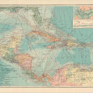
Map of Central America, Cuba, Porto Rico, and the Islands of the Caribbean Sea
$60.00 Quick View -
Singer the Universal Sewing Machine [Pan-American Exposition Souvenir]
$145.00 Quick View -
Atlas of the World
$110.00 Quick View -
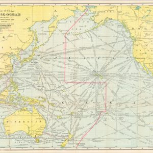
Map of the Pacific Ocean Showing Distances between Principal Points and the International Date Line
$250.00 Quick View -
The War In Pictures [Leslie’s Illustrated Weekly Newspaper]
Quick View -
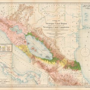
Report of the Nicaragua Canal Commission 1897 – 1899 Maps and Profiles
$250.00 Quick View -
Rand McNally Standard Map of Central America
$100.00 Quick View -
Map of the Swan Island Caribbean Sea [with Report]
$125.00 Quick View -
Lock Canal Project Map Showing Line of Proposed Lock Canal with Summit Elevation at 85 Feet [Panama Canal]
Quick View -
[Map of East Asia and the Pacific. A View of the Country’s Defense]
Quick View