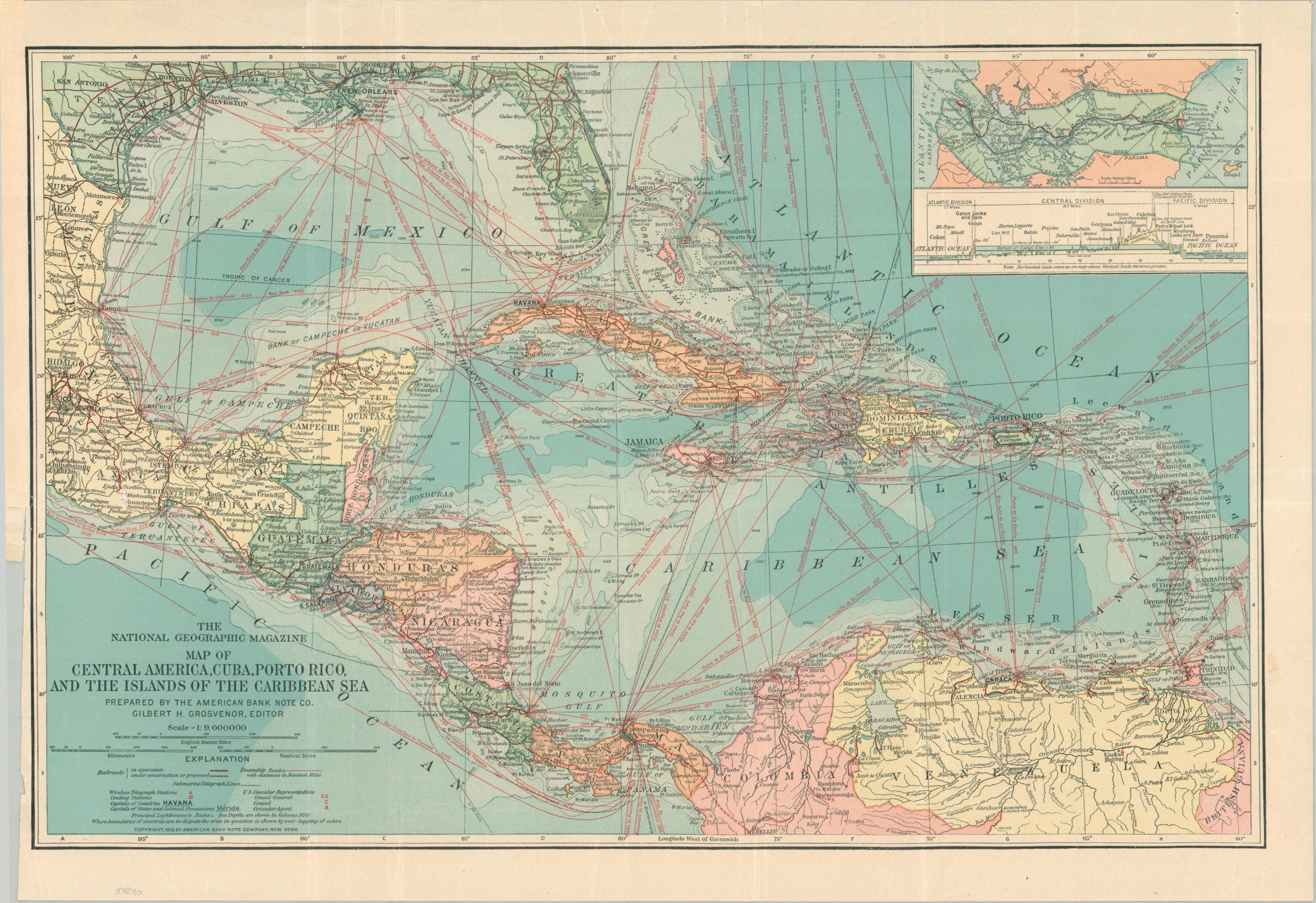
Map of Central America, Cuba, Porto Rico, and the Islands of the Caribbean Sea
$60.00
Opening up the world via the Panama Canal.
1 in stock
Description
This vibrant color map of the Caribbean and Central America was created by the American Bank Note Company in 1913 on behalf of National Geographic Magazine. The year afterwards, the completion of the Panama Canal would revolutionize global maritime transportation and dramatically shift regional politics.
An inset of the strategic waterway can be seen in the upper right. Steamship routes criss-cross the map in bright red. Telegraph stations, coaling depots, and consular agents are noted throughout – all key components in maintaining American hegemony.
Map Details
Publication Date: 1913
Author: American Bank Note Company
Sheet Width (in): 19.75
Sheet Height (in): 14.00
Condition: B+
Condition Description: Moderately creased along old folds. An irregular 2" tear in the center left has been repaired on the verso with archival tape. Light marginal wear. About good condition overall.
$60.00
1 in stock