
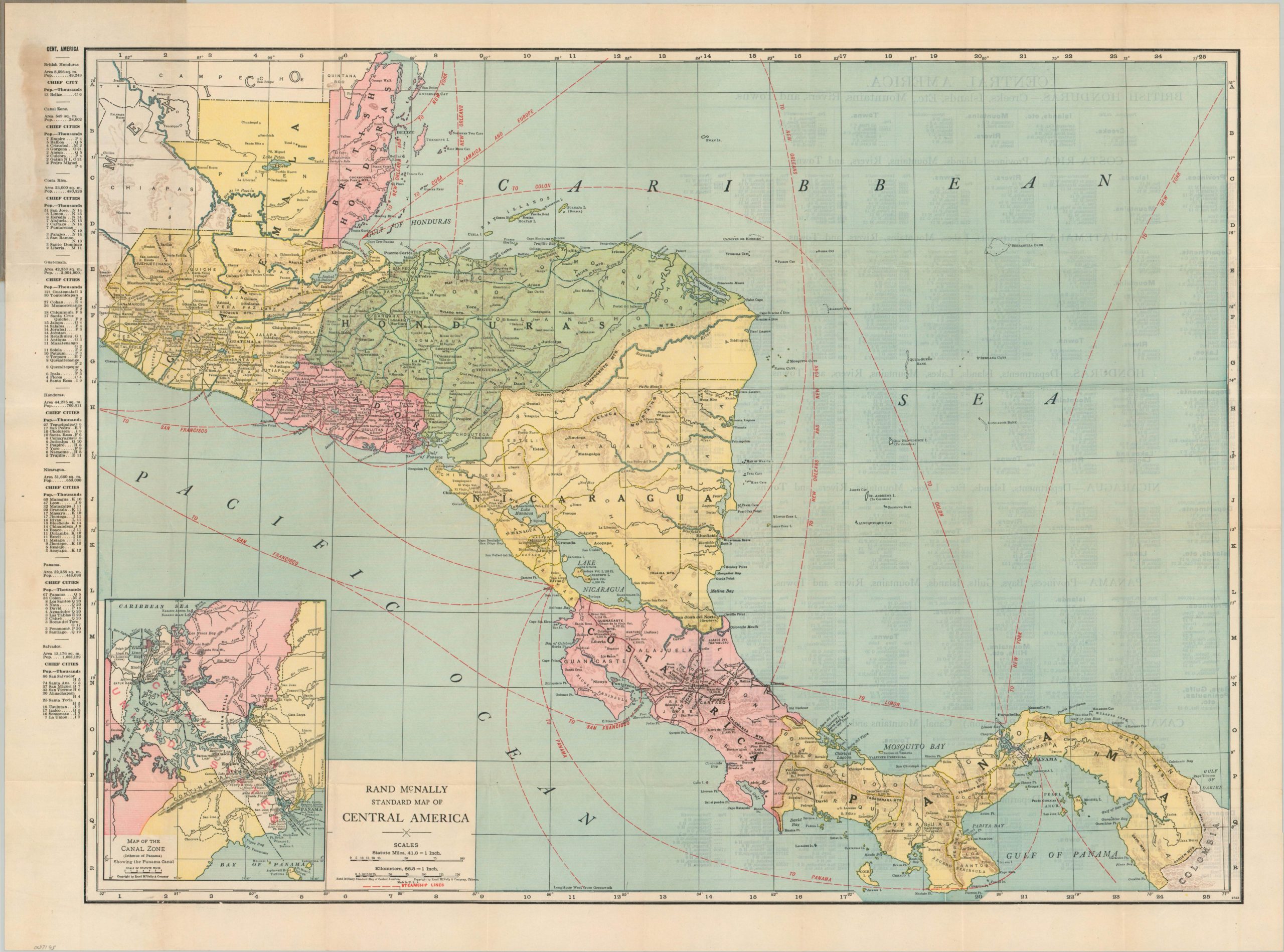
Rand McNally Standard Map of Central America
$100.00
A new maritime world opens through the Panama Canal.
1 in stock
Description
This colorful pocket map was published, probably around 1925, by the Chicago-based firm of Rand McNally & Co. Railroads and steamship routes are highlighted in red, with the latter emphasizing the great accessibility offered by the opening of the Panama Canal in 1912. The United States Canal Zone and British Honduras (modern-day Belize) reflect the region’s longtime colonial occupations.
While independence movements of the previous century were largely successful, political instability led to regular U.S. interventions, especially when the profitability of private interests like the United Fruit Company was under threat. The verso provides relevant information about each of the countries depicted – political divisions, major towns, and notable geographic features.
Map Details
Publication Date: c. 1925
Author: Rand McNally
Sheet Width (in): 28.5
Sheet Height (in): 21
Condition: A-
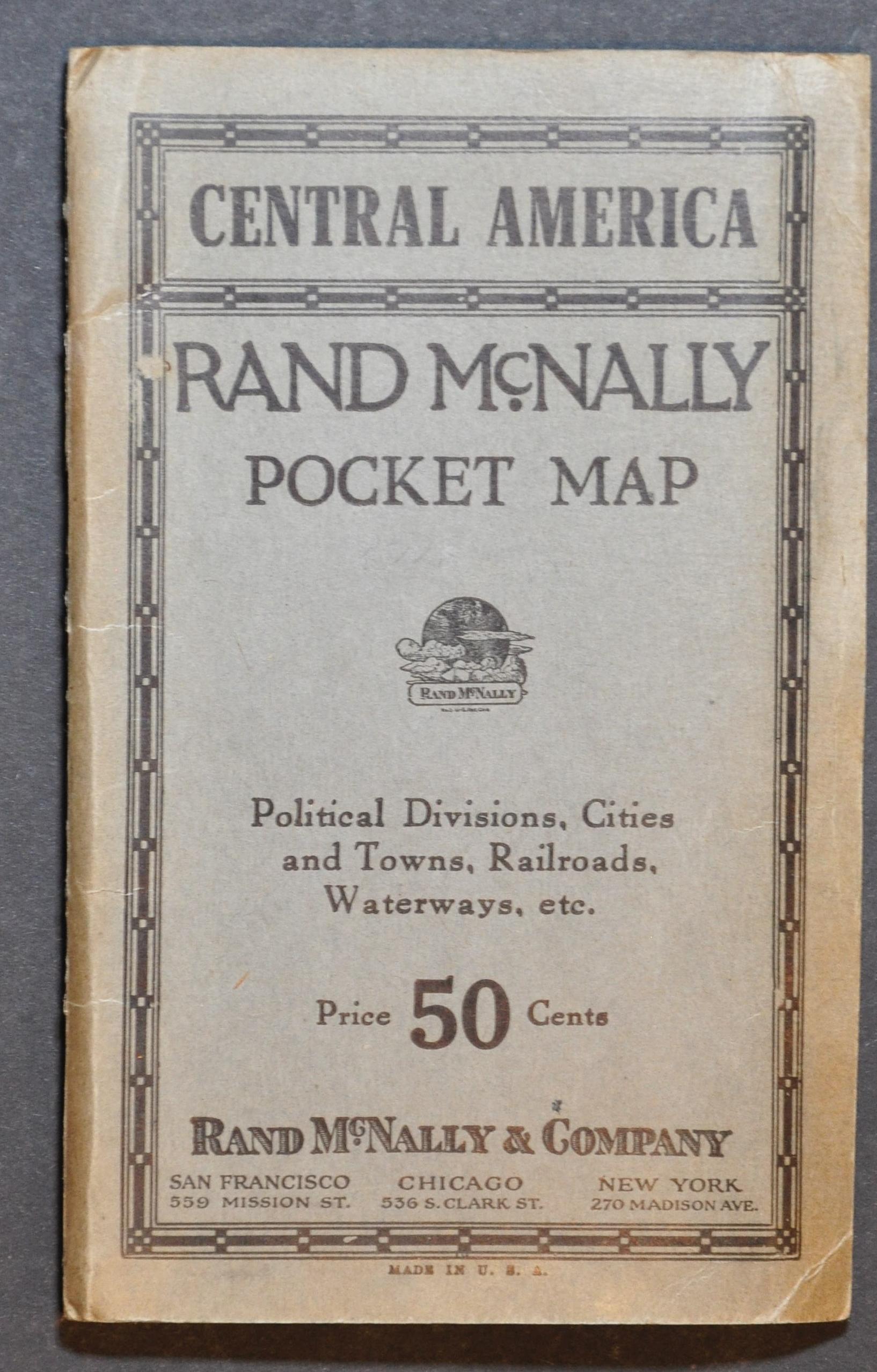
Condition Description: Color lithographed pocket map folded into original grey paper wraps. Discoloration from the adhesive in the upper left and slightly wrinkled/creased along folds. Good to very good condition overall. Printed text on verso.
$100.00
1 in stock